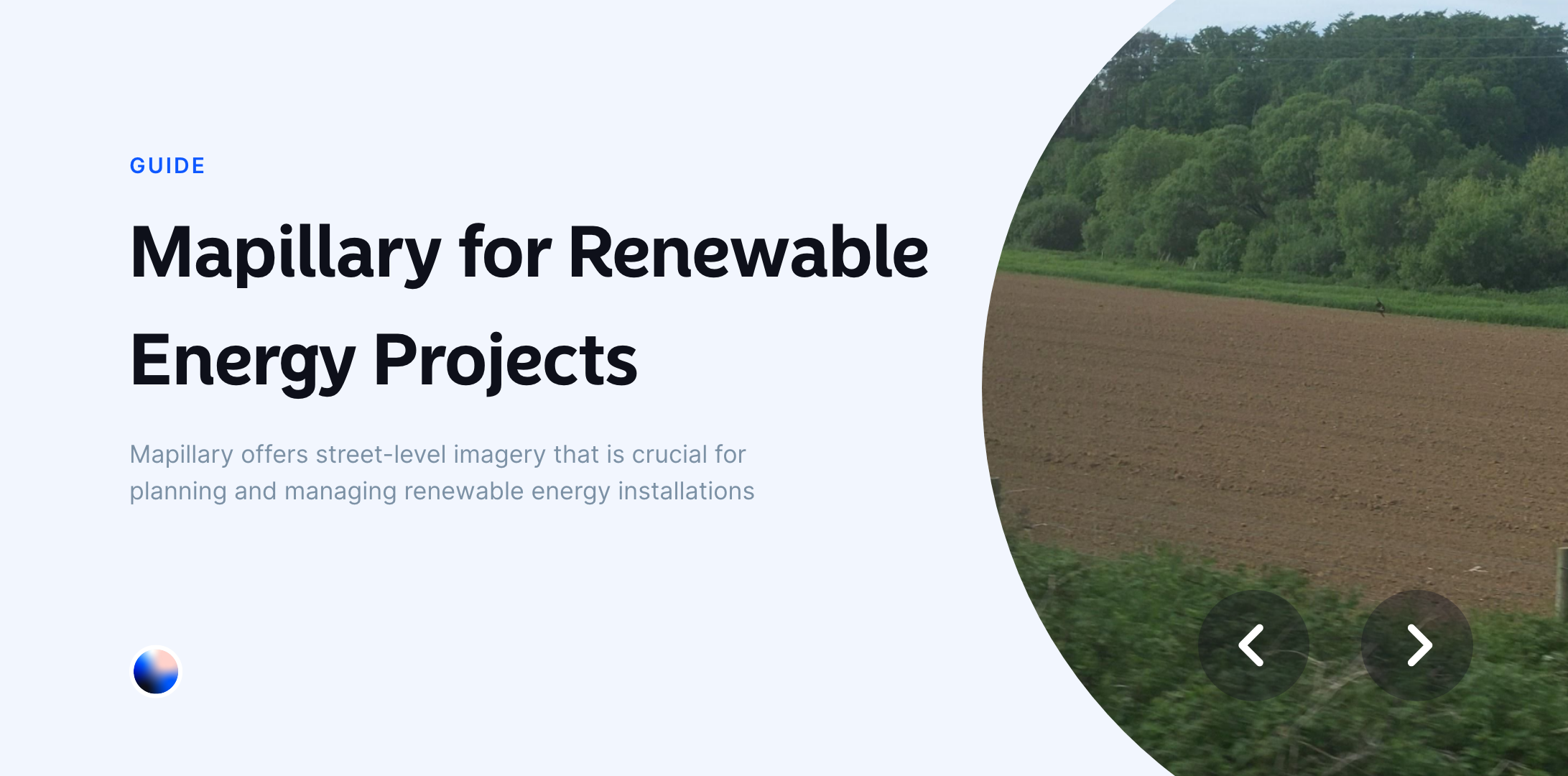
Mapillary offers street-level imagery that is crucial for planning, monitoring, and managing renewable energy installations like solar panels, wind turbines, and other green energy infrastructure.
This guide will walk you through the basics of using Mapillary in Atlas, focusing on how it can benefit renewable energy projects.
What is Mapillary?
Mapillary is a platform that provides street-level imagery collected by users from around the world. It’s like Google Street View, but more flexible and open. Anyone can upload images, and these images are then processed to extract geospatial data, including traffic signs, road conditions, and even the surrounding environment.
For GIS professionals, Mapillary offers a rich source of data that can be integrated into various projects, including those focused on renewable energy. The visual context provided by Mapillary can be invaluable when assessing sites, planning new projects, or maintaining existing infrastructure.
Why Use Mapillary in Renewable Energy Projects?
Renewable energy projects often require a detailed understanding of the terrain, local infrastructure, and environmental conditions. Here’s why Mapillary can be useful:
-
Site Assessment: Before installing solar panels or wind turbines, it’s essential to understand the surrounding area. Mapillary provides up-to-date imagery, which can help assess road access, shading from nearby trees or buildings, and even the condition of existing infrastructure.
-
Monitoring and Maintenance: Regular updates from Mapillary allow you to monitor changes in the environment around your installations. For example, new construction or tree growth could affect the efficiency of solar panels or the operation of wind turbines.
-
Community Engagement: Renewable energy projects often require input from the local community. Mapillary’s open data model allows communities to contribute images, helping to create a more accurate and up-to-date representation of the area.
Getting Started with Mapillary
To use Mapillary in Atlas, follow these steps:
1. Sign up to Atlas
Start by signing up for an Atlas account if you haven’t already. This will give you access to all the features, including the Mapillary integration.
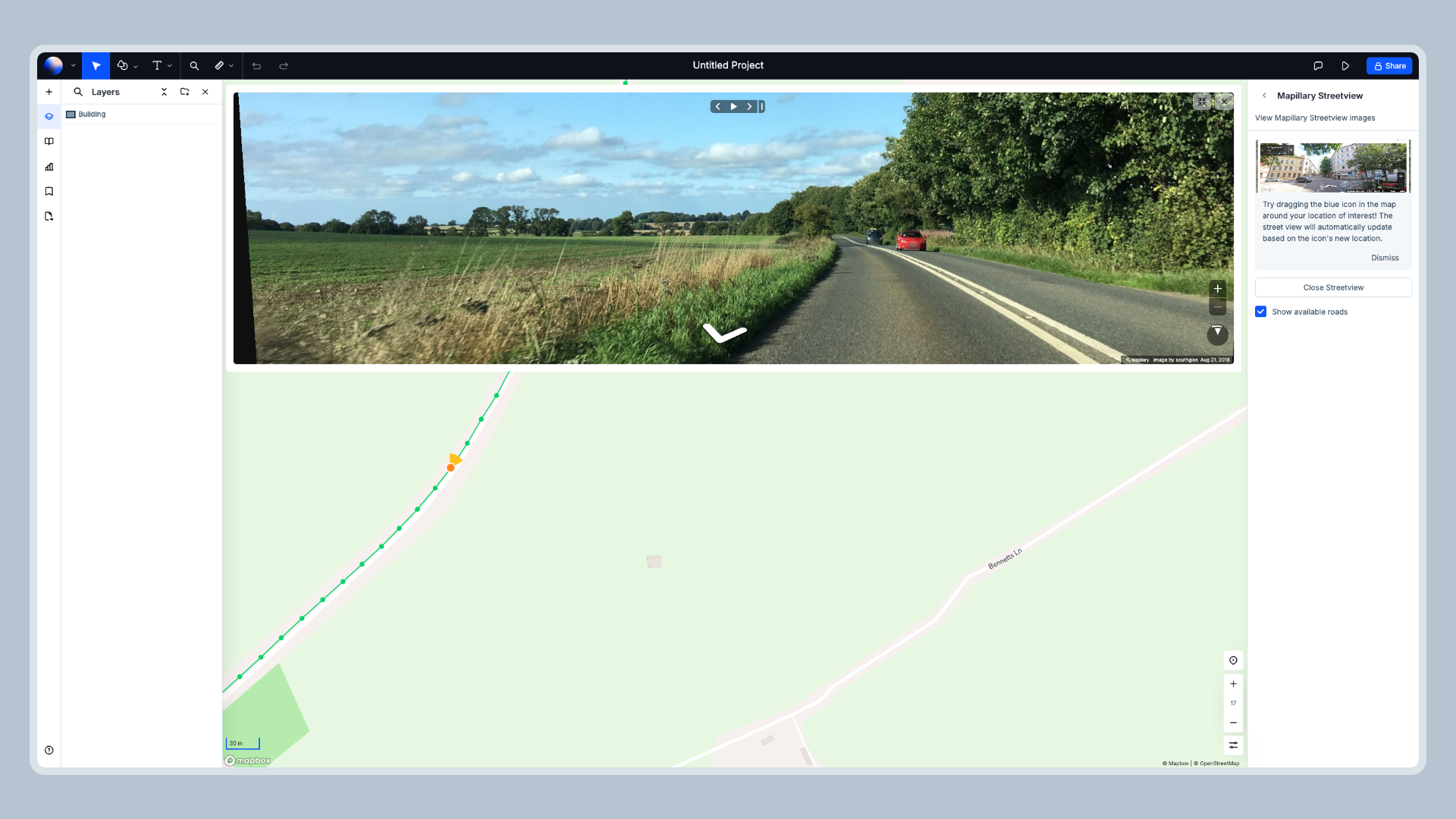
2. Navigate to the Mapillary Integration
Once you’re logged in, head over to the right side panel where you’ll find the Integrations section. Here, look for Mapillary. Click on it to open the integration.
3. Discover Street-Level Images
With the integration enabled, you can start exploring street-level images directly within Atlas. These images can be overlaid onto your project maps, giving you a detailed visual context of the areas you’re working with. Whether you're assessing a site for a new renewable energy project or monitoring an existing installation, Mapillary's imagery provides valuable insights.
Practical Applications of Mapillary in Renewable Energy
Let’s look at some practical applications of using Mapillary in renewable energy projects:
Solar Farm Planning
When planning a solar farm, understanding the landscape is crucial. You need to know where shadows might fall, whether there are any obstructions that could block sunlight, and what the terrain looks like.
By integrating Mapillary images into your projects, you can get a detailed view of the site. You can analyze the position of trees, buildings, and other structures that might cast shadows on solar panels. This helps in optimizing the placement of panels for maximum sunlight exposure.
Wind Turbine Siting
For wind turbines, the location is everything. You need to find a spot with consistent wind patterns and minimal obstructions. Mapillary can help you assess potential sites by providing up-to-date imagery of the area.
You can also use Mapillary to examine the roads leading to the site. Wind turbines are large and require specialized equipment for transport. By analyzing road conditions and infrastructure, you can determine the best route for transporting turbine components.
Infrastructure Monitoring
Renewable energy installations, like any other infrastructure, require regular maintenance. With Mapillary, you can monitor changes in the environment around your installations.
For example, you can track vegetation growth around solar panels. Overgrown trees can cast shadows, reducing the efficiency of your panels. By regularly updating your Mapillary imagery, you can identify these issues early and take action.
Community Involvement
Involving the community in renewable energy projects is crucial for long-term success. With Mapillary, local residents can contribute images and data, providing a more accurate and detailed view of the area.
This community-generated data can help you understand local concerns and incorporate them into your project planning. It also fosters a sense of ownership and engagement among community members, which can be beneficial for the project’s success.
Tips & Tricks
Here are a few tips to get the most out of Mapillary in your renewable energy projects:
-
Regular Updates: The Mapillary data is regularly updated. Make sure to come back to investigate the images regularly. The environment can change quickly, and up-to-date imagery is essential for accurate planning and monitoring.
-
Combine with Other Data Sources: Don’t rely solely on Mapillary. Combine it with other data sources, such as satellite imagery and LiDAR data, for a more comprehensive view of your project area.
-
Engage with the Community: Encourage local residents to contribute images to Mapillary. This not only improves the accuracy of your data but also helps build community support for your project.
Conclusion
Mapillary is a powerful tool for anyone involved in renewable energy projects. By integrating street-level imagery into your projects, you can gain valuable insights into site conditions, monitor environmental changes, and involve the local community in your projects.
Whether you’re planning a new solar farm, siting a wind turbine, or maintaining existing infrastructure, Mapillary can help you make more informed decisions and improve the overall success of your renewable energy initiatives.


