Geographic Information Systems (GIS) are powerful tools for urban planning. They help in visualizing and analyzing data about the physical world.
One of the critical uses of GIS is in planning locations for community centers and parks. This involves several factors like population density, accessibility, and existing amenities.
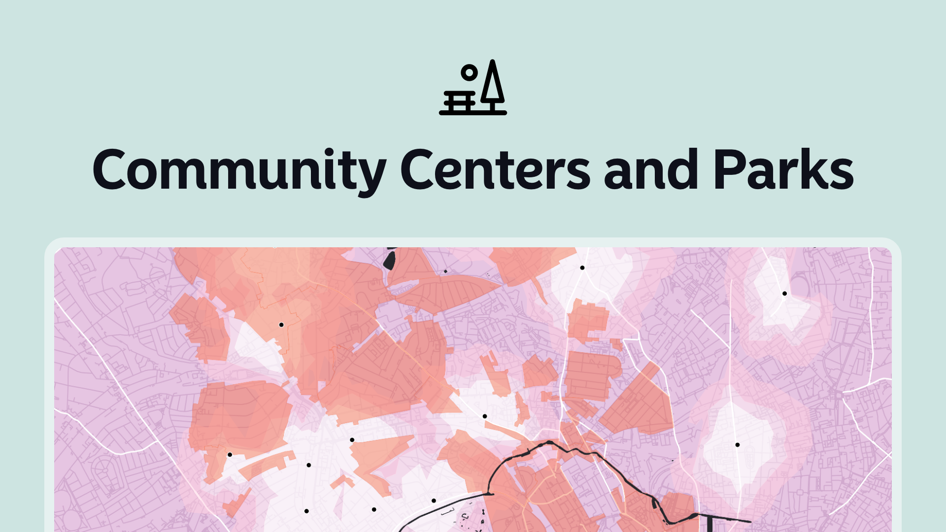
Let's explore how GIS can help identify the best spots for these community assets.
Understanding GIS
GIS is a technology that allows users to create, manage, analyze, and map all types of data.
GIS integrates spatial and non-spatial data to help understand patterns and relationships.
In the context of community planning, GIS can analyze various data layers such as demographic information, land use, and transportation networks.
Identifying Key Factors
Before diving into the spatial analysis, it's essential to identify the key factors that influence the location of community centers and parks.
Population Density
Understanding where people live is crucial. Areas with higher population densities might need more community centers and parks to serve the residents.
Accessibility
How easy it is for people to reach these facilities is another critical factor. Proximity to public transportation and major roads can significantly influence accessibility.
Existing Amenities
Assessing the current amenities in an area can help avoid redundancy. Spatial analysis can show where existing parks and community centers are located and identify underserved areas.
Land Availability
The availability of suitable land is a practical consideration. Spatial analysis can help identify vacant or underutilized land that could be repurposed for community use.
Gathering and Analyzing Data
Data Collection
The first step is gathering relevant data. This includes demographic data, maps of existing facilities, land use maps, and transportation data.
Sources can include census data, city planning departments, and public transportation authorities.
Data Layers
In GIS, data is organized into layers. Each layer represents a different type of information.
For this project, layers might include:
- Population density
- Existing community centers
- Parks
- Land use
- Transportation networks
Overlay Analysis
One of the powerful features of GIS is overlay analysis. This involves stacking different layers of data to see how they interact.
For example, overlaying population density and existing parks can reveal areas that are underserved by green spaces.
Proximity Analysis
You can also perform proximity analysis. This helps in understanding how close potential sites are to other important locations, such as schools, hospitals, and public transport.
Suitability Analysis
Combining different analyses, you can perform suitability analysis. This identifies the best locations based on the criteria set by planners.
Using GIS for Decision Making
Site Selection
With the data analyzed, planners can use GIS tools to pinpoint potential sites for new community centers and parks.
Maps provide a visual representation, making it easier to see where the needs are greatest.
Public Involvement
GIS tools can also help in engaging the community. Interactive maps can be shared with the public to get feedback and input on proposed sites.
Resource Allocation
By identifying the best locations, GIS tools helps ensure that resources are allocated efficiently. This leads to better outcomes and higher satisfaction among community members.
Real-World Examples
Urban Parks
Many cities have successfully used GIS to plan urban parks. For example, New York City uses GIS to manage and plan its extensive park system.
By analyzing population density, land use, and accessibility, the city can prioritize areas for new parks.
Community Centers
In Los Angeles, GIS has been used to identify locations for new community centers. The city analyzed demographic data, existing facilities, and transportation networks to find the best spots.
Case Study: Chicago
Chicago provides a detailed case study on using GIS for planning community centers and parks.
The city used GIS to analyze over 100 data layers, including crime statistics, population density, and public transportation.
This comprehensive analysis helped identify locations that would most benefit from new community centers and parks, ensuring they serve the areas of greatest need.
Final Thoughts
GIS is a powerful tool in urban planning, especially for identifying locations for community centers and parks.
By analyzing various data layers, planners can make informed decisions, ensuring these facilities are placed where they are most needed.
This leads to more efficient use of resources and better service to the community.
Using GIS tools in this way can enhance urban living, providing residents with accessible, well-placed amenities that improve quality of life.


