

Creating maps is more accessible than ever, thanks to the variety of GIS tools available today.
Among different types of maps, circle maps are popular for their simplicity and effectiveness in visualizing data around a central theme or location. Whether you're a student, a data journalist, or a GIS professional, creating a circle map can be an engaging way to present information.
This guide will walk you through the steps of making a circle map, highlighting some of the most useful tools and methods.
What is a Circle Map?
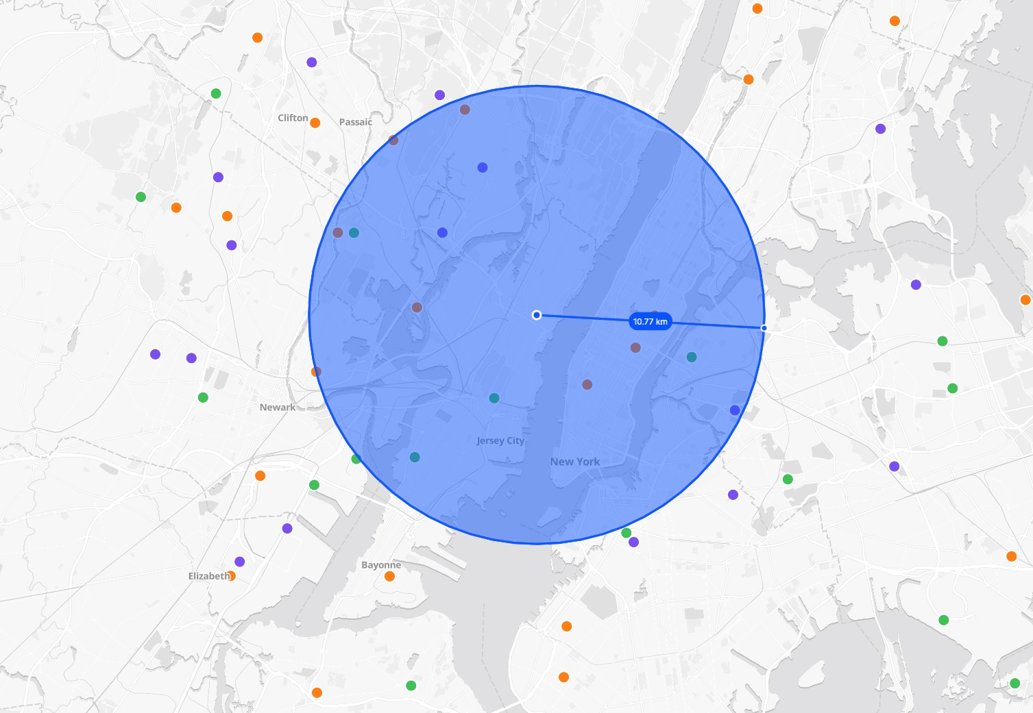
A circle map is a type of data visualization tool used to display information spatially around a central point. Often, it's used to show relationships between different data points and a central concept or location. Circle maps can be used for a variety of purposes including educational purposes, geographic data analysis, and business marketing strategies to visualize data such as distribution networks, demographic data, business reach, and more.
Tools You Can Use
Atlas
Atlas is a versatile, browser-based GIS platform that simplifies map creation. It's user-friendly and allows quick data visualization without the need for installations.
Features:
- No installation required: Everything is done in your browser.
- User-friendly interface: Ideal for beginners.
- Customizable visuals: Offers a range of styles for data presentation.
QGIS
QGIS is a free, open-source software with a robust set of mapping tools. It’s one of the most popular choices for GIS professionals as it offers extensive plugins and community support.
Features:
- Data visualization and analysis: Provides tools for creating and editing maps.
- Plugin support: Extensive plugins for additional functionality.
- Multiformat support: Can handle a wide variety of data formats.
Google Maps Platform
The Google Maps Platform is perfect for integrating custom maps into web applications and has a strong API support.
Features:
- Dynamic updates: Great for real-time data.
- API integration: Wide-ranging capabilities for developers.
- Extensive data coverage: Includes a rich database from Google.
Other Notable Tools
- Mapbox: Known for its interactive features and custom design capabilities.
- ArcGIS Online: Offers powerful GIS capabilities and integrates well with other Esri products.
Steps to Create a Circle Map
Step 1: Define Your Purpose
Before creating your map, clarify what you want to achieve:
- What is the central concept or theme? This will be your map's focus point.
- What data will you use? Ensure your data is accurate and suitable for a circle map.
- Who is your audience? Tailor the design and complexity of your map to your intended audience.
Step 2: Gather Data
The next step is to accumulate the necessary data. Depending on your focus, this could be:
- Geographic data (e.g., city centers, business locations)
- Demographic information
- Environmental data (e.g., pollution levels, temperature changes)
Step 3: Choose the Right Tool
Select a tool that matches your expertise and project needs. For instance, if you need extensive customization, a powerful tool like QGIS might be appropriate. For simpler maps, Atlas or Google Maps Platform can be more suitable.
Step 4: Map Initialization
- Open Your Chosen Tool: Start by opening the software or web application.
- Import Your Data: Use spreadsheets or CSV files to import locations and data points.
- Set the Central Point: Identify and mark the central location of your circle map.
Step 5: Visualize Data
- Create Circles: Use your tool’s features to draw circles around the central location. These can represent various data metrics.
- Adjust Sizes: Scale your circles according to the data they represent (e.g., larger circles for more significant data points).
- Style and Design: Customize the map’s visual aspects, such as colors and labels, to improve readability and aesthetics.
Step 6: Analyze and Interpret
Analyze the created map to understand patterns and insights:
- Identify Clusters: Look for areas with dense data points.
- Spot Trends: Use the map to pinpoint trends over spatial areas.
- Examine Correlations: Check for spatial relationships between different data sets.
Step 7: Share and Collaborate
GIS tools often allow you to share your maps directly through links or by embedding them:
- Use cloud features: Tools like Atlas offer real-time collaboration, making it easy to work with teams remotely.
- Export Options: Save your map in various formats suitable for presentations or further analysis (e.g., PDFs, image files).
Additional Tips
- Keep It Simple: Avoid overwhelming your audience with too much data. Emphasize the most critical information.
- Check Data Accuracy: Always verify your data before and after mapping to prevent errors.
- Utilize Templates: If available, use pre-designed templates to save time and ensure a professional look.
By using the right tools and following these steps, you can create effective and informative circle maps that clearly convey your data's stories. Whether you're illustrating geographic distributions or analyzing demographic data, circle maps are a powerful way to visualize complex data.
How Atlas Helps You Create Circle Maps
Atlas stands out as an ideal platform for creating circle maps, thanks to its powerful yet intuitive features designed for everyone, from beginners to professionals.
Why Use Atlas for Circle Maps?
Effortless Data Import and Visualization:
Atlas excels in simplifying the process of importing data. Whether you have spreadsheets or CSV files, you can easily drag and drop your datasets into the Atlas interface and see your information represented visually on a map. This feature is invaluable for creating circle maps, as you often need to handle various datasets that provide quantitative insights.
Customizable Visual Elements:
One of the key strengths of Atlas is its highly customizable visualization options. Users can tailor the look and feel of their maps to match their data's story, adjusting colors, sizes, and styles to enhance clarity and impact. Customization is critical in circle maps, where the size and color of circles often represent different data magnitudes and categories.
Real-Time Collaboration and Sharing:
Atlas supports cloud-based operations, allowing multiple users to work on the same map simultaneously. This real-time collaboration feature makes it easier for teams to brainstorm and refine map designs together, ensuring that every circle map is comprehensive and accurate. Moreover, Atlas provides various sharing options, whether you need to distribute maps via a simple link or integrate them into presentations.
Accessibility and Ease of Use:
As a browser-based platform, Atlas requires no installation or complex setup procedures. You can start mapping immediately from any device with internet access. Its user-friendly interface is designed to facilitate quick learning, making it accessible even to those without a background in GIS.
Integration Capabilities:
For those looking to integrate their maps into web applications or blend them with other tools, Atlas offers robust capabilities. It can handle a variety of data formats and integrates smoothly with other platforms, ensuring that your circle maps remain versatile and interactive.
Making the Most of Atlas
To create an effective circle map using Atlas:
-
Prepare Your Data:
- Ensure your datasets are clean and organized. Decide on the central point of focus for your map and the metrics you'll be visualizing.
-
Utilize Atlas's Import Feature:
- Quickly import your data and see it spatially on the map. Take advantage of Atlas's simple drag-and-drop function.
-
Customize Your Visualization:
- Adjust the visual settings to represent your data effectively. Use different circle sizes and colors to denote various data categories and magnitudes.
-
Collaborate and Share:
- Work with your team using the real-time collaboration feature. Once your map is ready, share it or embed it as needed.
Atlas makes it easier than ever to craft insightful and engaging circle maps, transforming complex data into clear, visual narratives. Whether you're working solo or as part of a team, Atlas’s tools empower you to bring your map concepts to life efficiently and stylishly.


