
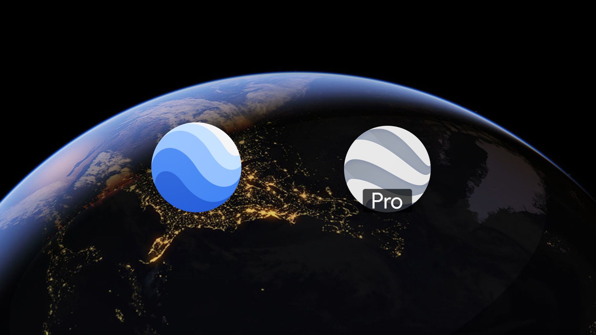
Google Earth and Google Earth Pro are powerful tools for exploring the globe virtually. But what’s the difference between the two, and which one is right for you?
This article breaks it down in simple terms, highlights the key differences, and introduces an alternative: Atlas, a browser-based GIS platform that offers many of the same capabilities, and more.
Quick Feature Comparison
| Feature | Google Earth | Google Earth Pro |
|---|---|---|
| Price | Free | Free (previously $399/year) |
| Platform | Web-based and mobile | Desktop application |
| Advanced Tools | Limited | Extensive |
| GIS Data Import | Not supported | Supported |
| High-Resolution Printing | Not available | Available |
| Historical Imagery | Available | Available |
| Video Export | Not supported | Supported |
| Area and Radius Measurements | Basic tools | Advanced tools |
| Business Applications | Limited | Comprehensive |
👉 Want modern mapping without desktop downloads?
Try Atlas free – collaborate, customize, and publish interactive maps in minutes.
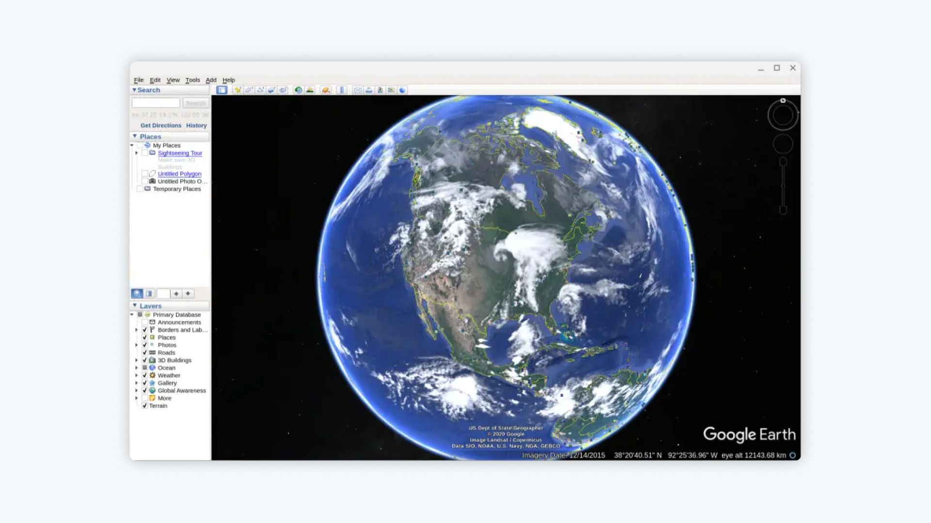
What is Google Earth?
Google Earth is a free, web-based tool that lets users explore satellite imagery, 3D cities, and terrain from their browser or mobile device. It’s perfect for casual users who want to:
- Fly over landmarks in 3D
- Measure distances with basic tools
- View historical imagery and changes over time
It’s intuitive and accessible. But it’s not built for teams, data layers, or custom exports.
What is Google Earth Pro?
Google Earth Pro is the desktop version designed for advanced use. It used to cost $399/year but is now free.
Here’s what it adds:
- Import shapefiles, CSVs, and GIS layers
- Export high-res imagery for reports or presentations
- Capture videos from virtual tours
- Use advanced tools to measure radius, area, and even 3D paths
Professionals in urban planning, real estate, and environmental fields often rely on it.
Key Differences Between Google Earth and Google Earth Pro
1. Price
- Both are free, but Pro gives more tools without added cost.
2. Platform
- Google Earth is web/mobile-based for casual use.
- Google Earth Pro is desktop-based with more features.
3. GIS Support
- Google Earth doesn’t import shapefiles.
- Pro does.
4. Export Quality
- Earth: Basic screen captures.
- Pro: High-res imagery and video exports.
5. Measurement Tools
- Earth: Only simple distance and area tools.
- Pro: Advanced calculations, including 3D paths.
6. Business Use
- Earth = casual.
- Pro = professional projects.
Which One Should You Use?
- Use Google Earth if you’re just exploring, flying over cities, or doing personal research.
- Use Google Earth Pro if you need to analyze data, print or export high-quality visuals, or work in professional mapping contexts.
⚠️ But if you’re working with a team or need better collaboration tools, neither Earth nor Pro might be enough.
Introducing Atlas: Built for Teams and Modern Mapping
If you're tired of emailing files, screen-grabbing maps, or working alone on static projects—it's time to try Atlas.
Atlas combines the accessibility of Google Earth with the power of Pro—plus live collaboration, custom maps, and easy sharing.
Why Use Atlas Instead?
✅ No Desktop Installs
Atlas runs in the browser, just like Google Earth.
✅ Built for Collaboration
Unlike Earth or Pro, Atlas supports:
- Real-time map editing with teammates
- Comments and change tracking
- Role-based permissions
✅ Professional-Grade GIS Tools
Import shapefiles, GeoJSON, and CSVs. Customize layers, add filters, and turn raw data into interactive maps.
✅ Custom Map Styling
Design maps your way with:
- Filters
- Pop-ups
- Custom legends
- Categories and groups
✅ Easy Sharing
No exporting required—just send a link. Or embed maps in Notion, Slack, or your website.
See Atlas in Action
Want to see how teams work together on maps in real-time?
Feature Comparison Table
| Feature | Google Earth | Google Earth Pro | Atlas |
|---|---|---|---|
| Browser-Based | ✅ | ❌ | ✅ |
| Real-Time Collaboration | ❌ | ❌ | ✅ |
| GIS Data Import | ❌ | ✅ | ✅ |
| High-Resolution Exports | ❌ | ✅ | ✅ |
| Interactive Maps | ❌ | Limited | ✅ |
| Comments & Version Control | ❌ | ❌ | ✅ |
| Easy Sharing & Embeds | ❌ | ❌ | ✅ |
The Bottom Line
Google Earth is great for exploring. Google Earth Pro is great for analysis.
But if you need a tool that’s:
- Web-based
- Built for teams
- Easy to share
- Customizable
- Professional in output...
Then Atlas is worth a look.
👇 Skip the installs, the exports, and the limitations.
Start using Atlas for free
No installs. No version conflicts. Just better maps.


