Geographic Information Systems (GIS) have become a cornerstone in sustainable urban development.
These powerful tools help city planners, policymakers, and developers make informed decisions. They offer detailed insights into urban environments, promoting efficiency and sustainability.
Understanding GIS
GIS is a technology that captures, stores, analyzes, and displays geographic data. It transforms data into visual maps, making complex information easier to understand. This capability is crucial for urban planning and development.
Key Functions of GIS
GIS performs several key functions in urban development:
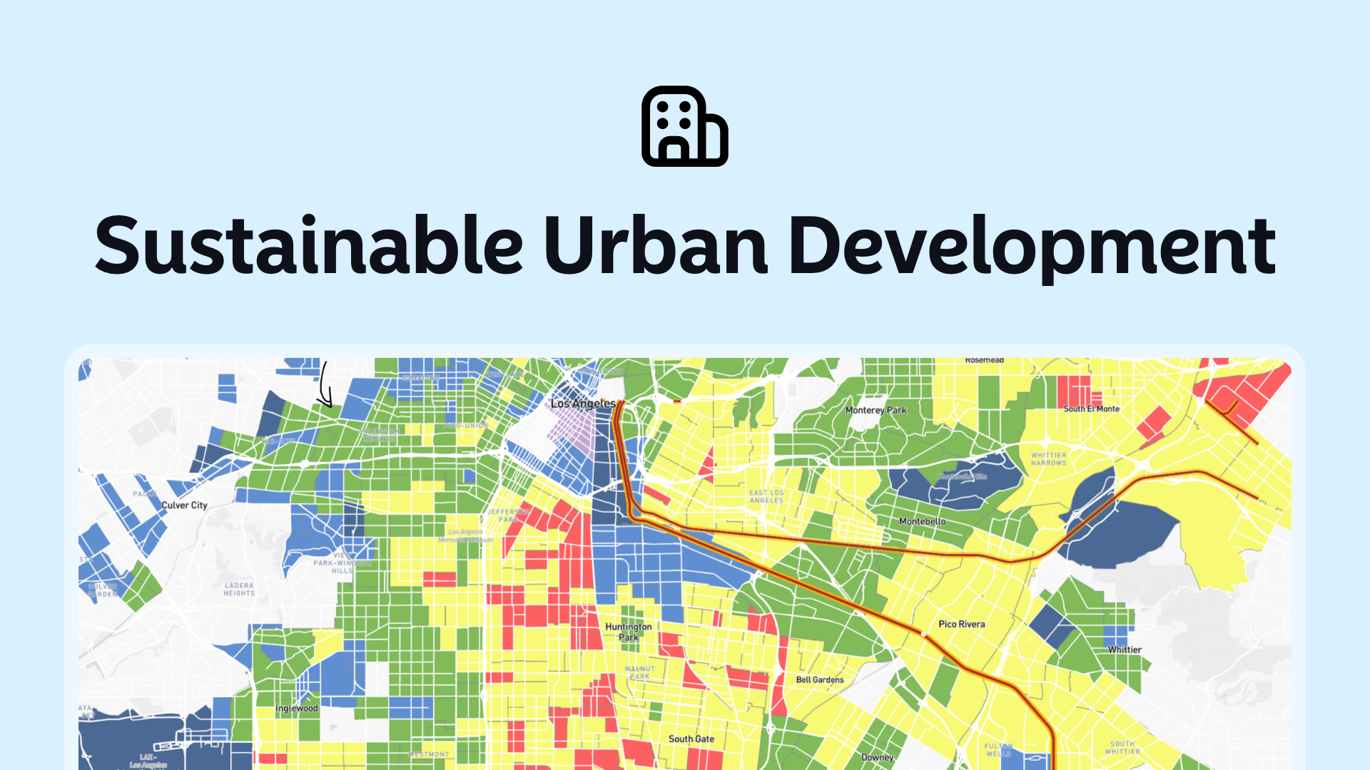
- Mapping and Visualization: GIS creates detailed maps that visualize urban areas. This helps in understanding spatial patterns and relationships.
- Data Integration: It integrates various data types from multiple sources. This can include demographic data, environmental data, and infrastructure data.
- Spatial Analysis: GIS analyzes spatial data to identify trends and patterns. This helps in making informed decisions.
- Modeling and Simulation: It simulates urban growth scenarios. This helps in planning future developments sustainably.
GIS and Urban Planning
Urban planning is a complex process. It involves designing and managing land use in cities. GIS simplifies this process by providing accurate data and analysis tools.
Land Use Planning
GIS helps planners allocate land for various uses, such as residential, commercial, and industrial. It ensures that land use is optimized for efficiency and sustainability. Planners can assess the impact of different land uses on the environment and infrastructure.
Infrastructure Development
GIS supports the planning and development of urban infrastructure. This includes transportation networks, utilities, and public services. By analyzing spatial data, planners can design infrastructure that meets the needs of the population.
Environmental Management
Sustainable urban development requires careful environmental management. GIS helps monitor and manage natural resources. It identifies areas that need protection and assesses the environmental impact of urban projects.
GIS and Sustainable Development
Sustainability is a key goal in urban development. GIS plays a vital role in achieving this goal. It provides tools and data to plan and manage cities sustainably.
Smart Cities
GIS is integral to the development of smart cities. These cities use technology to improve the quality of life for their residents. GIS helps in managing urban services efficiently. This includes transportation, waste management, and energy use.
Disaster Management
Urban areas are vulnerable to natural disasters. GIS helps in disaster management by mapping risk areas and planning emergency responses. It provides data for evacuation planning and resource allocation during disasters.
Climate Change Adaptation
Cities need to adapt to climate change to remain sustainable. GIS helps in planning for climate resilience. It identifies vulnerable areas and supports the development of adaptation strategies. This includes planning for rising sea levels, extreme weather events, and changing temperatures.
GIS Applications in Urban Development
There are several practical applications of GIS in urban development. These applications highlight the versatility and importance of GIS.
Urban Growth Monitoring
GIS monitors urban growth and development. It tracks changes in land use and population distribution. This data helps planners manage growth sustainably and prevent urban sprawl.
Transportation Planning
Efficient transportation is crucial for sustainable cities. GIS analyzes traffic patterns and public transport usage. This helps in designing efficient transportation networks and reducing traffic congestion.
Utility Management
Managing utilities like water, electricity, and sewage is essential for urban sustainability. GIS helps in planning and maintaining utility networks. It ensures that these services are provided efficiently and sustainably.
Public Health
GIS supports public health initiatives in urban areas. It maps health data to identify disease hotspots and health service gaps. This helps in planning health services and interventions effectively.
Case Studies of GIS in Urban Development
Several cities worldwide have successfully used GIS in their urban development projects. These case studies provide valuable insights into the benefits of GIS.
New York City, US
New York City uses GIS extensively in its urban planning. The NYC Planning Department uses GIS to manage land use, zoning, and environmental planning. GIS helps the city balance development with environmental protection.
Singapore
Singapore is a leading example of smart city development. The city uses GIS for urban planning, infrastructure development, and environmental management. GIS supports Singapore's goal of becoming a sustainable and livable city.
Curitiba, Brazil
Curitiba is known for its innovative urban planning. The city uses GIS to manage its public transportation system. This has helped Curitiba reduce traffic congestion and improve air quality.
The Future of GIS in Urban Development
The future of GIS in urban development looks promising. Advances in technology are making GIS more powerful and accessible.
Integration with Other Technologies
GIS is increasingly integrated with other technologies. This includes the Internet of Things (IoT), artificial intelligence (AI), and big data analytics. These integrations enhance the capabilities of GIS in urban development.
Real-Time Data
The use of real-time data is becoming more common in GIS applications. This provides up-to-date information for decision-making. Real-time GIS is especially useful in disaster management and traffic monitoring.
Community Participation
GIS tools are becoming more user-friendly. This allows for greater community participation in urban planning. Residents can provide input and feedback through GIS platforms, making the planning process more inclusive.
GIS is a vital tool for sustainable urban development. It helps cities plan and manage their growth efficiently and sustainably. As technology advances, the role of GIS in urban development will continue to grow.


