
A storm rolls in overnight.
Rain doesn't stop for 24 hours. Rivers swell. Roads disappear under water. Power fails. Calls flood 911.
You’re the emergency planner. You have to make decisions now—where to evacuate, where to send crews, which areas are safe, and how to share that with everyone else.
There’s no time for slow systems or outdated maps.
In these moments, GIS for emergency management becomes a lifeline.
Why GIS Is Essential in Disaster Management
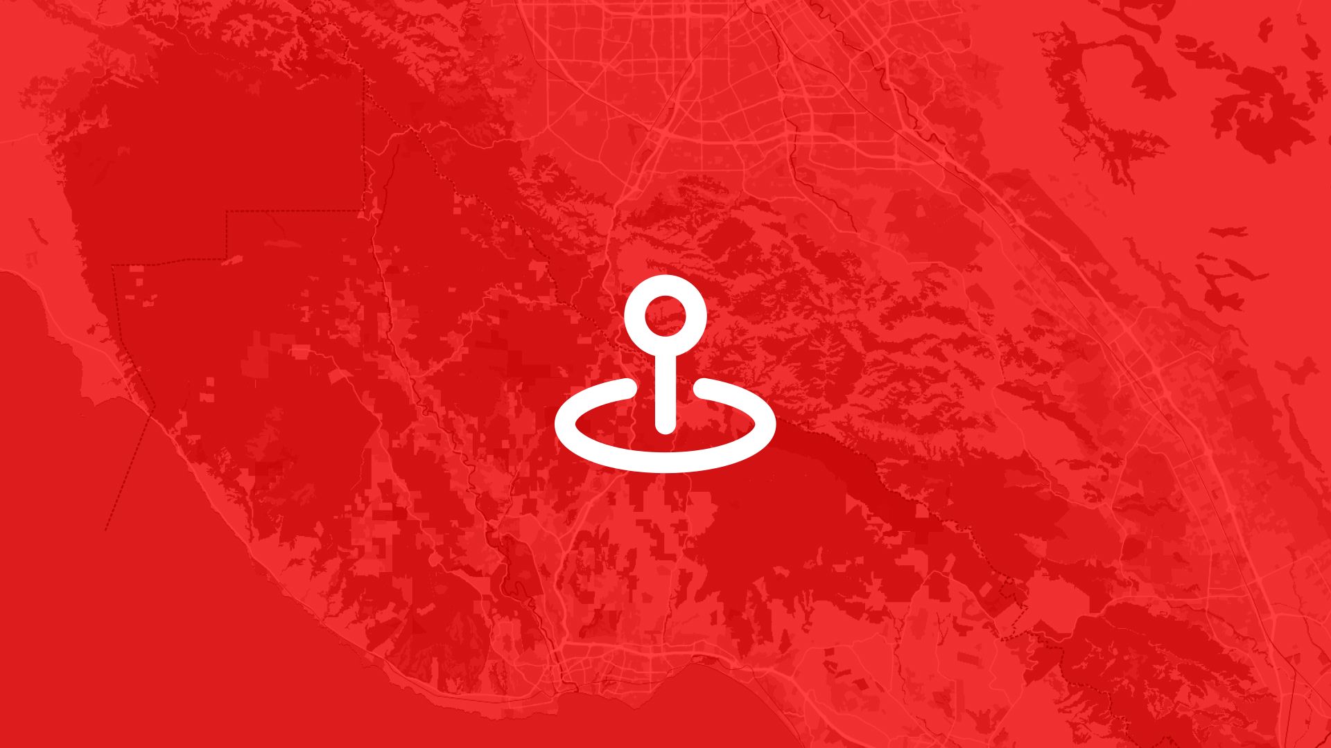
GIS (Geographic Information Systems) gives emergency teams a way to make sense of a chaotic situation. It turns raw data into visual information: maps that guide action.
It’s more than just location data. Good GIS software for emergency management helps you:
- Track the real-time impact of events.
- Model the spread of hazards like fire, flood, or contamination.
- Create evacuation plans and safe zones.
- Coordinate response teams and resources.
- Communicate clearly with decision-makers and the public.
Every second counts. GIS tools help you respond with speed and clarity.
Key Use Cases for GIS in Emergency Management
Let’s break down where GIS makes the biggest impact.
Evacuation Zone Mapping
Quickly define which areas need to be evacuated. Share clear, interactive maps with police, fire departments, and residents. As conditions change, update zones in real time.
Disaster Risk Assessment
Before disaster strikes, GIS helps identify high-risk areas: low-lying flood zones, wildfire-prone regions, or densely populated corridors. This supports better planning and faster response.
Hazard Evaluation
During an event, you can monitor fire perimeters, flood levels, or road closures live. Overlay infrastructure data to see what’s at risk: hospitals, schools, evacuation routes.
These maps aren’t just for experts. With the right tools, anyone on your team can access and contribute to a live view of the situation.
How Atlas Supports Emergency Response Teams
Atlas is a web-based GIS platform designed for speed, clarity, and collaboration.
No software to install. No complex setup. You just open your browser and start mapping.
You can:
- Import hazard or risk data from spreadsheets, shapefiles, or public sources.
- Draw zones, mark closures, or highlight affected areas, right on the map.
- Add notes, links, or photos to give context.
- Share live maps with teams, responders, or city leaders in seconds.
Even better, Atlas is built for collaboration. Anyone on your team, technical or not, can contribute. Field teams can update maps from a tablet. Decision-makers can track changes live. Everyone stays on the same page.
Whether you're preparing for the next disaster or reacting in real time, Atlas helps you move faster, communicate clearly, and act with confidence.
When Everything Is on the Line
In an emergency, hesitation can cost lives. Confusion can delay help. Miscommunication can send teams in the wrong direction.
That’s why more emergency managers are turning to modern, easy-to-use GIS tools.
Because when a flood hits, a fire spreads, or a city goes dark — you don’t just need maps.
You need clarity.
You need speed.
You need the right tools to lead.


