
Customizing maps is essential for professionals who need to communicate geographic data effectively. Whether you're designing for public engagement, analysis, or presentations, the right tool makes a significant difference.
Atlas and Google Earth Pro both offer customization features, but they serve different purposes. This article explores their capabilities for creating tailored, interactive maps.
Comparison at a Glance
| Feature | Atlas | Google Earth Pro |
|---|---|---|
| Custom Styling | Advanced thematic mapping | Basic line and shape styling |
| Interactivity | Filters, pop-ups, and user controls | Limited to navigation and flyovers |
| Data Integration | Multi-layer maps with external data | Static overlays with manual updates |
| Sharing Options | Shareable interactive links or embeds | Static exports or KML file sharing |
1. Custom Styling for Maps
Atlas
Atlas provides data-driven styling options that allow users to apply visual rules based on data attributes. For example:
- Use graduated colors to represent population density.
- Style points with different symbols to indicate data categories, such as business types or infrastructure.
- Customize labels for better readability on multi-layer maps.
These features ensure maps are visually clear and can convey complex datasets at a glance.
Google Earth Pro
Customization in Google Earth Pro is simpler, focusing on basic elements like:
- Polygons and paths for highlighting regions or routes.
- Icons and placemarks for marking specific locations.
- Manual color changes for lines and shapes.
While these tools are useful for annotations, they lack the automated styling capabilities that Atlas offers for large datasets.
2. Interactive Features
Atlas
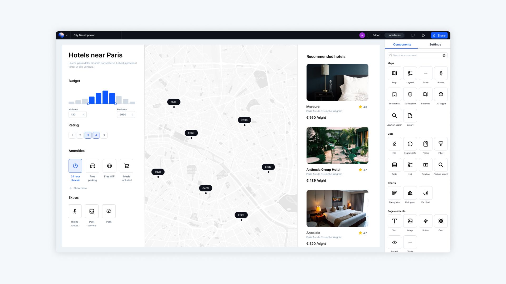
Atlas excels in creating interactive maps that engage users and allow them to explore data. A standout feature is Builder mode, which empowers users to design interactive map-based web applications with no coding required. Key interactive features include:
- Filters: Enable users to toggle data layers or filter by categories, such as year, region, or demographics.
- Pop-ups: Display additional information about map features when users click on them, such as property details or event descriptions.
- Custom Widgets: Add sliders, dropdowns, or search bars to enhance user control over the map.
Builder mode is perfect for embedding maps into websites, allowing seamless integration for public or private use.
Google Earth Pro
Interactivity in Google Earth Pro is limited to 3D navigation and flyovers. Users can pan, zoom, and tilt the map to view terrains or features in 3D, making it ideal for visual exploration. However, it lacks advanced interactivity like filtering or user-defined data exploration.
3. Data Integration and Management
Atlas
Atlas supports seamless integration of multiple datasets, including:
- GeoJSON, CSV, and Shapefiles, allowing direct upload without conversion.
- Dynamic Layering, enabling users to visualize relationships between datasets.
- Live Data Feeds for real-time updates, such as traffic patterns or weather changes.
Professionals can also join external data tables with spatial datasets, enabling deep analysis and visualization.
Google Earth Pro
Google Earth Pro supports:
- KML and KMZ file imports, which are useful for overlaying static data.
- Raster Overlays for imagery like satellite views or scanned maps.
While effective for static visualizations, the platform lacks tools for integrating real-time or dynamically updated datasets.
4. Sharing and Presentation
Atlas
Sharing maps created in Atlas is simple and interactive:
- Generate shareable links for real-time access to maps.
- Embed maps in websites or dashboards, ensuring dynamic interactions remain intact.
- Export maps as static images or PDFs for offline use.
These features make Atlas suitable for collaborative teams or public-facing projects where user engagement is essential.
Google Earth Pro
Maps created in Google Earth Pro are typically shared through:
- KML files, which require recipients to use Google Earth for viewing.
- High-resolution screenshots or exports for printed materials or presentations.
While useful for visual presentations, these methods do not retain interactivity.

Use Cases: Which Tool is Better for Interactive Design?
When to Choose Atlas
Atlas is the clear choice for projects requiring dynamic, data-rich maps. Its ability to create interactive elements like filters and pop-ups makes it ideal for:
- Business analytics dashboards.
- Public engagement tools, such as zoning maps.
- Real-time collaboration for decision-making.
When to Choose Google Earth Pro
Google Earth Pro works best for creating visually stunning, static maps. Its 3D terrain and flyover features are perfect for:
- Educational presentations.
- Virtual tours or landscape visualizations.
- Simple annotations on geographic imagery.
Final Thoughts
Customizing maps for interactive design requires the right tool for your goals. Atlas provides advanced customization and interactivity, making it ideal for professional, data-driven projects. Google Earth Pro, with its 3D visuals and simplicity, excels in creating annotated maps and geographic presentations.
Both tools have their strengths. Consider your project’s requirements and choose the platform that best aligns with your needs.
If you’re curious about the interactive features of Atlas, such as the Builder mode, sign up to explore them yourself!


