In today's fast-paced work environment, effective collaboration is crucial. One feature that's transforming the way teams work together is live cursors.
If you’ve ever used a shared document or design tool, you’ve likely seen live cursors: small icons that show where other people are working in real time. But the use of live cursors isn’t just limited to text or design files. Now, it's making its way into browser-based GIS (Geographic Information Systems) platforms, allowing teams to collaborate on maps just as easily as they would on a Google Doc.
Let’s dive into what live cursors are, how they work, and why they are becoming an essential tool for teams working on complex projects — including those involving mapping.
What are Live Cursors?
Live cursors are real-time indicators that show where other users are working within a shared document, design, or map. If two or more people are working together, each person’s cursor is visible to others in the same workspace.
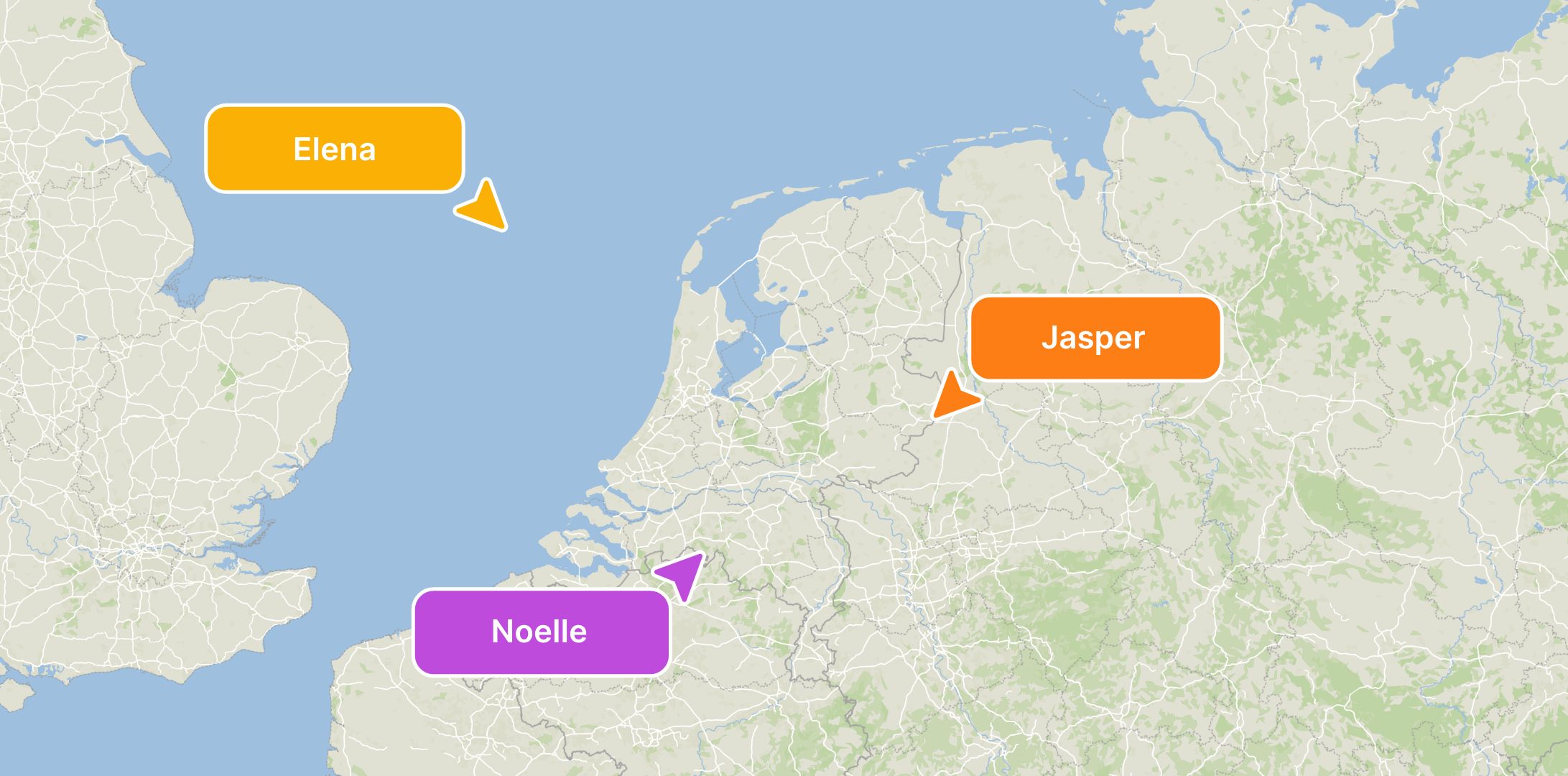
In a shared map, for example, you can see exactly where your teammate is clicking, what they’re highlighting, and what changes they’re making to the spatial data. These cursors are often color-coded, with names or initials attached, making it easy to know who is working on what.
The ability to see live changes, whether on a document or a map, helps teams stay in sync and reduces the chance of duplicated efforts or miscommunication.
How Does Collaborating with Live Cursors Help?
Real-Time Feedback
One of the biggest advantages of live cursors is the ability to see changes as they happen. There’s no need to wonder who’s working on a certain section of the map or document — you can see their cursor moving in real time.
In GIS, this can be especially valuable. For example, if you and your teammate are working on updating a city's zoning map, you can see instantly if someone is adding or editing a feature in a specific area. This real-time feedback means you can adjust your work on the fly, ensuring that the team stays aligned.
Improved Efficiency
Live cursors help teams work faster. Since you can see where your colleagues are focusing their efforts, there’s less need for constant back-and-forth communication. You won’t have to stop and ask, “Where are you working?” or “Are you done with this section?”
This can lead to significant time savings. Especially in GIS platforms where large datasets and maps are involved, it’s helpful to know who is working on which part of the map. It reduces the likelihood of two people working on the same feature at the same time, which can lead to conflicting edits and wasted time.
Reduces Errors
When multiple people are working on the same document or map, it’s easy for things to get messy. Someone might accidentally delete or overwrite something, especially if there’s no clear communication. Live cursors help avoid these issues by showing exactly where others are working.
In a GIS platform, this can be a game-changer. Imagine a team updating a transportation map for a city. Without live cursors, two people might start editing the same road network at the same time, leading to errors or conflicts in the dataset. Live cursors make it obvious when someone is already working on a particular part of the map, reducing the risk of accidental changes.
Enhances Team Collaboration
Live cursors create a shared sense of workspace. When you can see what others are doing, you feel more connected to the project. It’s easier to jump in and collaborate when you know what parts of the project your colleagues are focused on.
For example, if you’re working on a map and notice that a colleague is highlighting a part of a city, you might message them and ask, “Are you updating this area? Should I focus on something else?” This promotes collaboration and ensures that everyone is working efficiently toward the same goal.
Using Live Cursors in Browser-Based GIS
Live cursors aren’t just for text documents or design files anymore. They are becoming a powerful tool in GIS platforms as well. Let’s look at how they can enhance map-based collaboration.
Synchronized Mapping
When multiple people are working on a map in a browser-based GIS like Atlas, live cursors show where everyone is in real time. This makes it easy to divide tasks, avoid overlapping work, and stay in sync with your team.
For example, if you’re working with a team to update land-use data for a region, you can see where others are adding new features or adjusting existing ones. If you notice that someone is already editing a specific zone, you can move to another part of the map, ensuring that the team’s efforts are spread out efficiently.
Collaborative Spatial Analysis
In GIS platforms, teams often conduct spatial analysis to understand patterns, trends, and relationships in geographical data. Live cursors can significantly improve this process.
Imagine you’re conducting a flood-risk analysis on a shared map. One person might be adding data layers for rainfall patterns, while another is adjusting floodplain boundaries. With live cursors, you can see these actions in real time and coordinate your analysis. If you notice that your teammate is making changes to a certain area, you can adjust your analysis accordingly, ensuring that your results are accurate and complementary.
Avoiding Data Conflicts
One of the most common challenges in GIS collaboration is the potential for conflicting data edits. In the past, if two people tried to update the same map feature simultaneously, it could lead to data conflicts or even data loss.
Live cursors help prevent this. If you see that someone else is working on the same map feature you were about to edit, you can pause and wait until they’re finished or work on something else in the meantime. This reduces the chance of data conflicts and ensures that all changes are correctly saved and applied.
Effective Collaboration Strategies with Live Cursors
To make the most out of live cursors, especially in GIS platforms, teams should adopt a few best practices.
1. Clear Communication
Even with live cursors, communication is key. Let your team know what you’re working on, especially in larger projects. This helps avoid confusion and ensures that everyone is aligned.
For example, if you’re working on a shared map, you might say, “I’m updating the zoning data for the northern section of the city.” Your teammates can then focus on other areas or offer to help if needed.
2. Use the Cursors as a Guide
Live cursors are there to help guide collaboration. If you notice someone else working in a particular area of the map, use that as a signal to work on a different area or coordinate your efforts with them. The goal is to avoid stepping on each other’s toes.
3. Don’t Overcrowd the Same Section
If too many people are working on the same part of the document or map, it can get overwhelming. Spread out your work so that everyone has their own space to focus on. Live cursors can help you see where everyone else is and adjust accordingly.
4. Provide Feedback in Real Time
One of the advantages of live cursors is the ability to give real-time feedback. If you notice something that needs attention or improvement, mention it while you’re still in the shared workspace. This immediate feedback loop can help speed up decision-making and problem-solving.
Live cursors are an innovative feature that makes collaboration easier, faster, and more efficient — whether you’re working on a document, a design, or a map. In browser-based GIS platforms, live cursors allow teams to work on complex spatial projects without confusion or overlap.
By seeing what your teammates are doing in real time, you can stay in sync, avoid errors, and make faster decisions.


