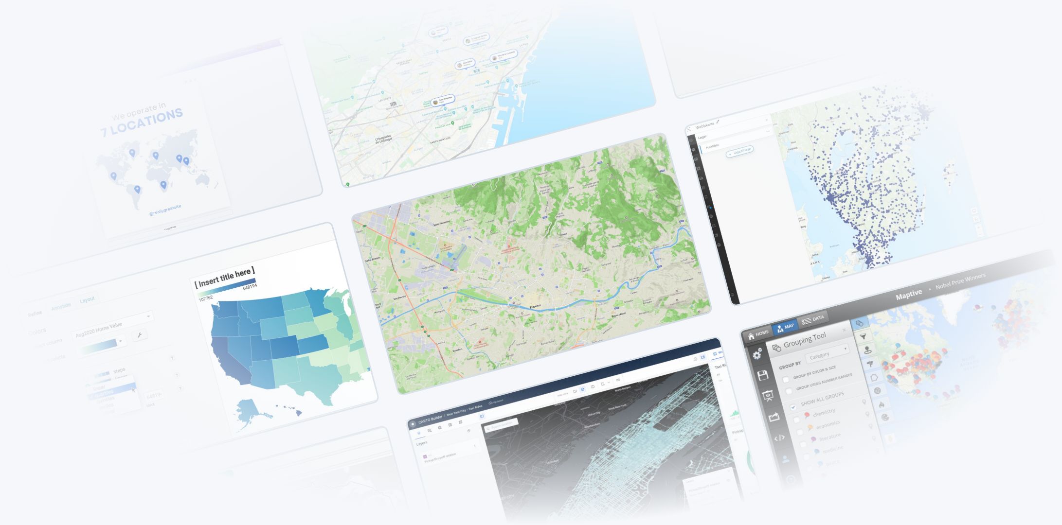
Geographic Information Systems (GIS) software is a powerful tool for managing, analyzing, and visualizing spatial data. From urban planning to market analysis, organizations across industries rely on GIS to make informed decisions.
But with so many GIS software options available, how do you choose the one that’s right for your organization?
This guide will walk you through the key factors to consider and highlight some top GIS software to help you make the best choice.
1. Define Your Organization’s Needs
Start by identifying what you need GIS software to do.
Questions to Ask:
- Purpose: Will you use GIS for mapping, data analysis, or both?
- Users: Who will use the software—GIS specialists, analysts, or general staff?
- Budget: What is your budget for software, training, and support?
Understanding your goals and constraints will narrow down the options.
2. Consider Ease of Use
GIS software ranges from simple, user-friendly tools to complex platforms designed for specialists.
What to Look For:
- Intuitive Interfaces: Does the software have a clear, easy-to-navigate design?
- Learning Curve: Will your team need extensive training to use it effectively?
- Customization: Can the software adapt to your team’s skill level?
For non-technical users, browser-based tools like Atlas or Google My Maps are excellent choices.
3. Evaluate Features and Capabilities
Different GIS tools offer a variety of features. Choose one that aligns with your organization’s specific needs.
Key Features to Consider:
- Mapping: Create and customize maps with ease.
- Data Integration: Import data from spreadsheets, databases, or APIs.
- Spatial Analysis: Perform advanced analysis like proximity, density, or clustering.
- Collaboration: Share and edit maps with team members.
- Mobile Access: Use the software on the go, especially for fieldwork.
For organizations needing advanced analysis, tools like ArcGIS Online or QGIS are excellent.
4. Think About Scalability
As your organization grows, your GIS needs may expand. Choose software that can scale with you.
What to Look For:
- Capacity: Can the software handle large datasets and high user traffic?
- User Licenses: Does it allow for adding more users as your team grows?
- Integration: Can it connect with other tools, like CRMs or analytics platforms?
For growing organizations, cloud-based platforms like CARTO or Mapbox provide scalability.
5. Review Cost and Licensing
GIS software comes with a range of pricing models, from free open-source options to enterprise-level subscriptions.
Factors to Consider:
- Upfront Costs: Are there setup fees or hardware requirements?
- Subscription Plans: Does the pricing fit your budget and usage needs?
- Hidden Costs: Are there additional fees for training, support, or data storage?
For budget-conscious organizations, free tools like QGIS or affordable options like Atlas are great choices.
6. Assess Support and Community Resources
Good support can make or break your experience with GIS software.
What to Look For:
- Documentation: Does the software have comprehensive guides and tutorials?
- Customer Support: Are there responsive support channels?
- Community: Is there an active user community for sharing tips and troubleshooting?
Open-source platforms like QGIS often have strong community support, while paid tools like ArcGIS Online offer dedicated customer service.
7. Check for Cloud and Browser-Based Options
Cloud-based GIS tools are ideal for organizations that need flexibility and remote access.
Benefits of Cloud GIS:
- No Installation: Access the software from any device with an internet connection.
- Real-Time Collaboration: Work on maps with your team simultaneously.
- Automatic Updates: Always use the latest version without manual updates.
Browser-based tools like Atlas, Maptive, and Google My Maps are perfect for teams prioritizing collaboration and ease of use.
Top GIS Software to Consider
| Tool | Best For | Free/Paid |
|---|---|---|
| Atlas | Easy, professional map creation | Free with paid plans |
| ArcGIS Online | Advanced analysis and collaboration | Paid |
| QGIS | Open-source and feature-rich GIS | Free |
| Google My Maps | Simple mapping for non-technical users | Free |
| CARTO | Location intelligence and big data | Paid |
| Mapbox | Custom, interactive map development | Free with paid plans |
Final Thoughts
Choosing the right GIS software for your organization requires a clear understanding of your needs, budget, and team’s technical expertise.
For ease of use and collaboration, tools like Atlas or Google My Maps are excellent choices. If you need advanced analysis, consider ArcGIS Online or QGIS. For scalability and customization, CARTO and Mapbox are strong contenders.
Take the time to evaluate your options, and you’ll find the perfect GIS software to support your organization’s goals.


