When it comes to mapping tools, Atlas and Google Earth Pro offer unique features for teams working with geospatial data. While both are powerful, they cater to different needs. Atlas focuses on collaboration and professional GIS analysis, while Google Earth Pro excels in visualization and geographic exploration.
Here’s a quick comparison to get started:
| Feature | Atlas | Google Earth Pro |
|---|---|---|
| Collaboration | Real-time editing and sharing | Sequential workflows, file sharing |
| Accessibility | Browser-based, no installation required | Desktop application, requires installation |
| Customization | Interactive maps with advanced tools | Basic map annotations and overlays |
| GIS Analysis | Heatmaps, buffers, and more | Limited analytical features |
| Visualization | Professional, data-focused visualizations | Stunning 3D and satellite imagery |
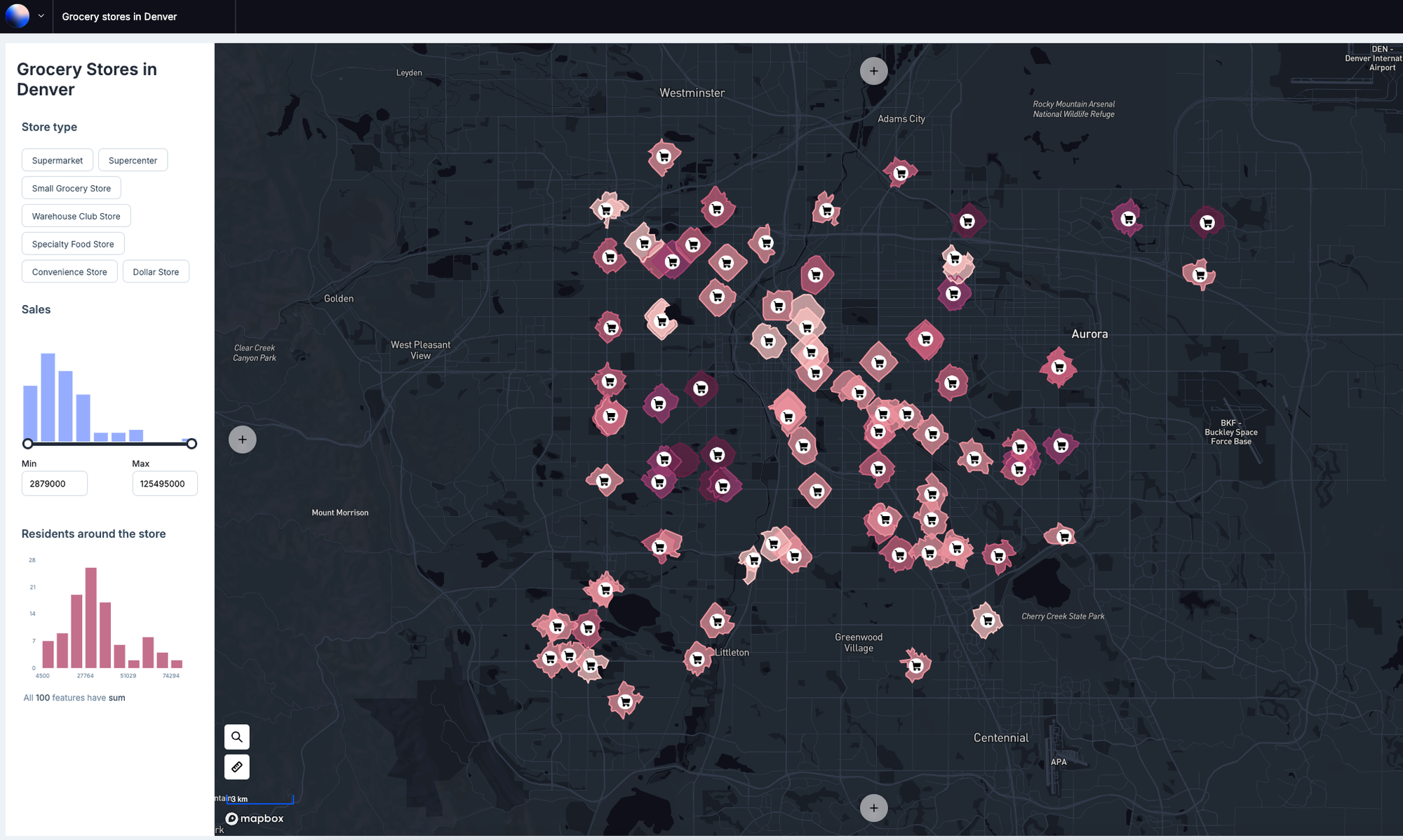
Key Features of Atlas and Google Earth Pro
Let’s break down how these tools compare in collaboration, usability, customization, GIS analysis, and visualization.
1. Collaboration Features
Atlas:
- Real-time collaboration lets multiple users edit maps simultaneously.
- Changes are updated instantly for all collaborators.
- Cloud-based storage ensures everyone works with the latest version.
- Ideal for team workflows, such as urban planning or logistics projects.
Google Earth Pro:
- Collaboration relies on KML file sharing.
- Sequential workflows work well for projects requiring independent edits.
- Limited to file-based updates, which may slow down team collaboration.
2. Usability and Accessibility
Atlas:
- Fully browser-based, requiring no downloads or installations.
- Accessible from any internet-connected device.
- Intuitive interface designed for both professionals and beginners.
Google Earth Pro:
- Desktop application that requires installation.
- Provides offline access for areas with limited connectivity.
- Suitable for users familiar with desktop software or those needing advanced imagery.
3. Customization and Interactivity
Atlas:
- Offers comprehensive customization, including color schemes, labels, and symbols.
- Builder mode enables users to create interactive maps where data can be filtered and explored.
- Ideal for industries requiring tailored maps, such as real estate or disaster response.
Google Earth Pro:
- Includes basic tools like placemarks, paths, and polygons.
- Customization is straightforward but lacks interactive features without third-party tools.
- Best suited for creating simple overlays or annotated maps.
4. Data Analysis and GIS Tools
Atlas:
- Provides GIS tools for heatmaps, buffer zones, and points-in-polygon analysis.
- Designed for professionals needing advanced insights from spatial data.
- Common use cases include logistics optimization and environmental research.
Google Earth Pro:
- Offers features like measuring distances and areas.
- Includes historical imagery for observing geographic changes over time.
- Limited in-depth analytical tools compared to Atlas.
5. Visualization and Presentation
Atlas:
- Professional, data-focused visualizations that emphasize clarity and usability.
- Interactive maps can be shared via links or embedded in presentations.
- Great for engaging stakeholders or presenting complex data.
Google Earth Pro:
- Renowned for its stunning 3D terrain and satellite imagery.
- Immersive visuals are ideal for storytelling or virtual tours.
- High-resolution printing options make it useful for creating presentation materials.
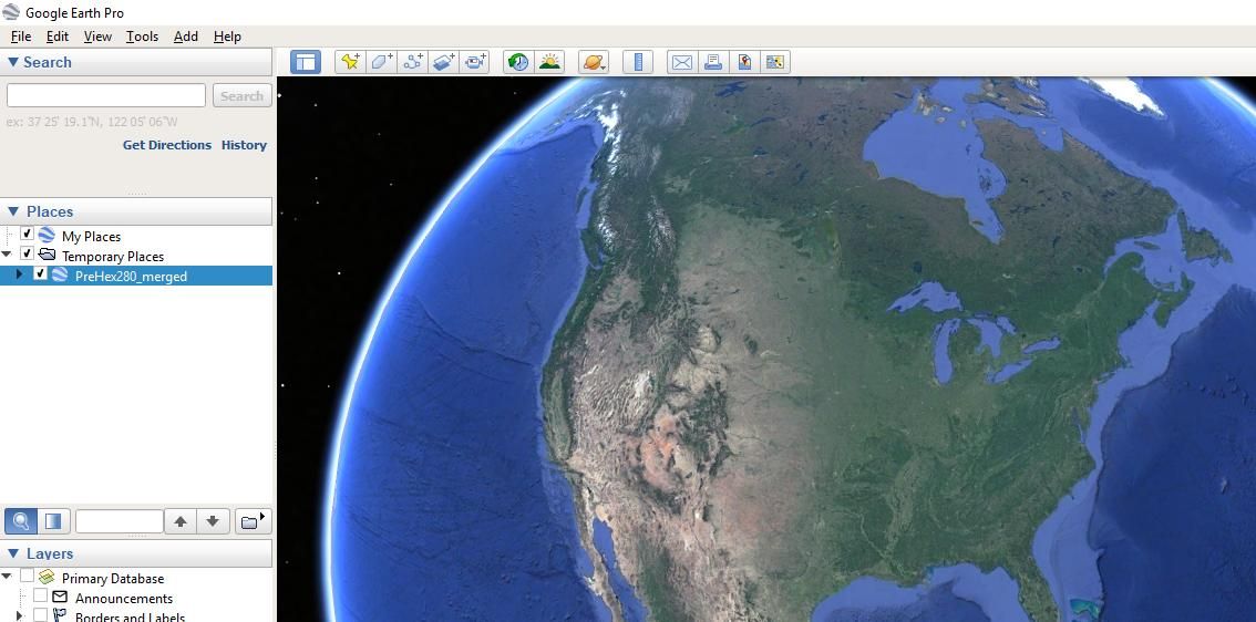
When to Choose Each Tool
Choosing between Atlas and Google Earth Pro depends on your goals and how your team plans to use the tool.
Atlas is the go-to choice for teams needing real-time collaboration and advanced GIS analysis. Its browser-based accessibility and interactive features make it a favorite for industries like logistics, urban planning, and environmental science. For projects that demand customized, interactive maps, Atlas provides the flexibility and ease-of-use required to get the job done efficiently.
On the other hand, Google Earth Pro is a strong choice for projects where visualization is the priority. Its 3D terrain and satellite imagery create an immersive experience, perfect for showcasing landscapes, creating virtual tours, or observing changes over time. Offline capabilities and high-resolution printing make it particularly valuable for solo researchers or educators preparing presentations.
Final Thoughts
Both Atlas and Google Earth Pro are exceptional mapping tools, but they excel in different areas. Atlas is perfect for collaborative, data-driven workflows, while Google Earth Pro shines in visual exploration and offline capabilities.
The best tool for your needs depends on the goals of your project. Explore both platforms to see which one aligns best with your team’s objectives.
To see how Atlas can enhance your workflow, sign up for free and give it a try.

