
Geographic Information Systems (GIS) have changed how teams work with maps and geospatial data. Two prominent platforms in this space are Atlas and ArcGIS Online. Both offer features for creating, analyzing, and sharing maps, but they differ in collaboration capabilities, ease of use, and audience focus.
This guide compares Atlas and ArcGIS Online, helping you decide which tool is better for collaborative projects.
Ease of Use
Atlas
Atlas is designed with simplicity in mind. It operates directly in a browser, requiring no installations or technical setup. This accessibility lowers the learning curve, enabling even non-GIS experts to create professional maps.
- User-Friendly Interface: Atlas uses an intuitive drag-and-drop system for styling maps.
- Zero Coding Required: Advanced features like interactive map applications can be built without coding.
- Quick Setup: Teams can start working within minutes of signing up.
ArcGIS Online
ArcGIS Online provides a broader suite of GIS tools, but this comes with complexity. While the interface is modern, it assumes familiarity with GIS concepts, making it better suited for experienced users.
- Comprehensive Tools: Ideal for GIS professionals who need advanced analysis capabilities.
- Steeper Learning Curve: Beginners may struggle with the platform’s depth and terminology.
Collaboration Features
Atlas
Atlas emphasizes real-time collaboration and ease of sharing.
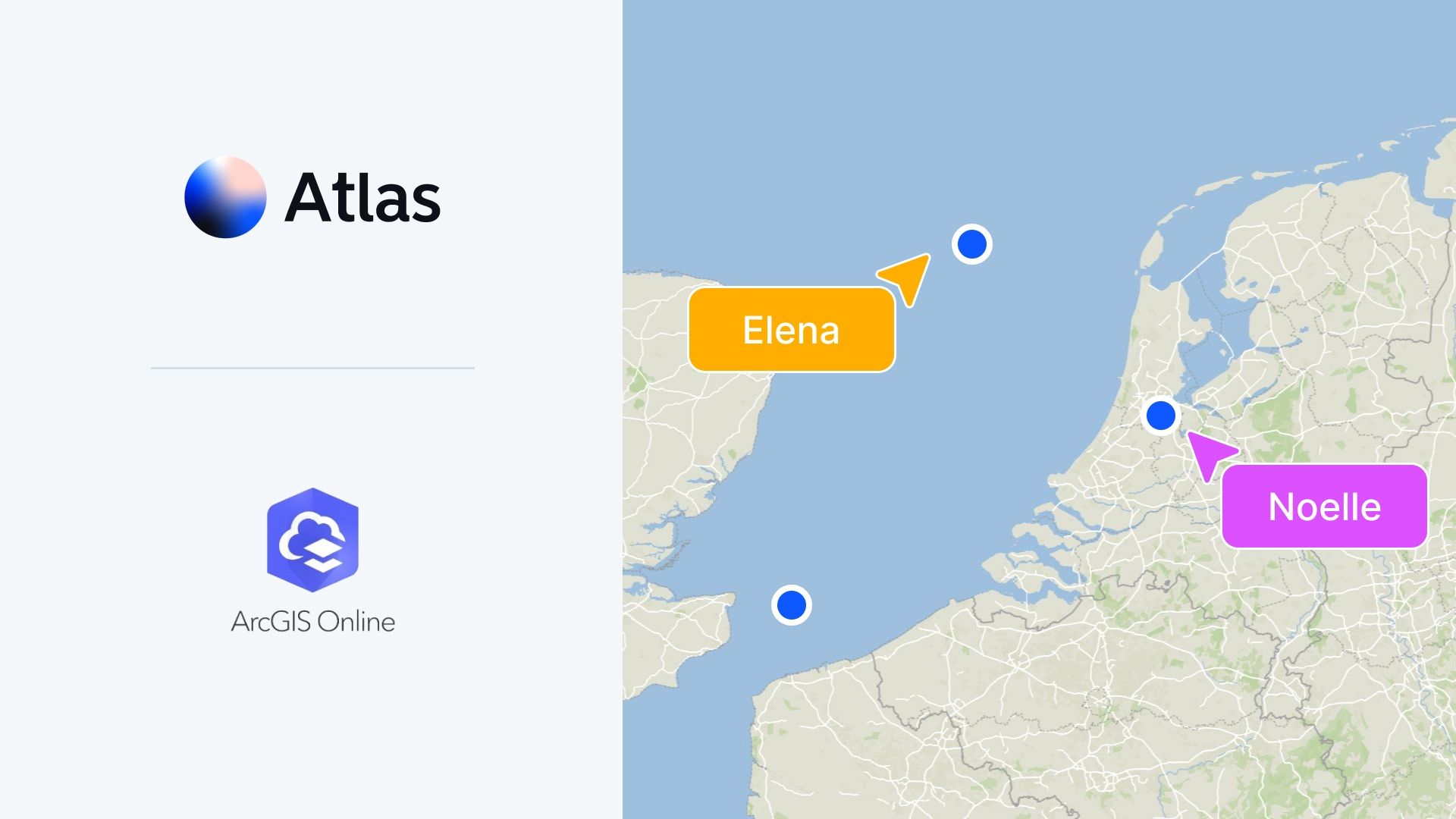
- Real-Time Editing: Multiple users can edit the same map simultaneously, with updates visible instantly.
- Cloud-Based: Maps and data are stored in the cloud, ensuring all team members access the latest version.
- Interactive Sharing: Share maps via links or embed them into dashboards, allowing stakeholders to interact with the data.
Atlas is tailored for remote and hybrid teams who need seamless collaboration.
ArcGIS Online
ArcGIS Online also offers collaboration tools but lacks real-time editing.
- Team Sharing: Users can share maps and datasets within their organization or publicly.
- Customizable Access: Control who can view or edit maps with user permissions.
- No Live Edits: Changes made to a map are not visible in real-time to collaborators.
ArcGIS Online works well for teams that need to distribute maps but don’t require synchronous editing.
Features and Functionality
Atlas
Atlas is purpose-built for modern teams with a focus on speed and interactivity.
- Interactive Applications: Create map-based applications with filters and pop-ups without writing code.
- Custom Styling: Easily adjust layers, colors, and labels to match project needs.
- Simple Analysis Tools: Perform basic spatial analysis like heatmaps and buffer zones.
Atlas is perfect for projects where presentation and interactivity are key.
ArcGIS Online
ArcGIS Online excels in advanced geospatial analysis.
- Extensive Tools: Offers detailed spatial analysis, including 3D mapping and predictive modeling.
- Integrated Ecosystem: Connects with other Esri tools like ArcGIS Pro and StoryMaps for a seamless workflow.
- Industry-Specific Features: Tailored solutions for fields like urban planning, agriculture, and public health.
ArcGIS Online is ideal for GIS professionals needing detailed, technical analysis.
Cost and Accessibility
Atlas
Atlas provides a transparent pricing model and a free plan for small teams.
- Affordable Plans: Lower cost compared to ArcGIS Online, making it accessible to startups and educational institutions.
- Browser-Based: Requires no downloads or installations, reducing hardware costs.
- Free Tier: Ideal for teams starting small.
ArcGIS Online
ArcGIS Online is subscription-based and caters to professional organizations.
- Higher Cost: Plans can become expensive, especially for teams needing access to premium datasets and tools.
- Desktop Integration: Often requires ArcGIS Pro for advanced functionalities, adding to the cost.
Collaboration Focus: Atlas vs. ArcGIS Online
| Feature | Atlas | ArcGIS Online |
|---|---|---|
| Real-Time Collaboration | Yes | No |
| Ease of Use | Beginner-Friendly | Best for Experienced Users |
| Customization | Interactive Maps Without Coding | Detailed Customization with Coding |
| Cost | Free Plan Available, Affordable Paid | Subscription-Based, Higher Cost |
| Advanced GIS Tools | Basic Analysis Features | Comprehensive Geospatial Tools |
Which Should You Choose?
Choose Atlas if:
- Your team prioritizes real-time collaboration and interactive map sharing.
- You need a GIS tool that is easy to learn and use across different skill levels.
- Cost is a factor, and you prefer a browser-based solution with no additional setup.
Choose ArcGIS Online if:
- You require advanced GIS tools for technical analysis or specific industries.
- Your team already works within Esri’s ecosystem and needs seamless integration.
- Real-time collaboration isn’t essential for your projects.
Both Atlas and ArcGIS Online are excellent GIS tools, but their strengths lie in different areas. Atlas is the go-to for collaborative, accessible GIS, while ArcGIS Online shines in technical depth and integration.
Ready to see how Atlas can transform your GIS workflows? Sign up for free today!


