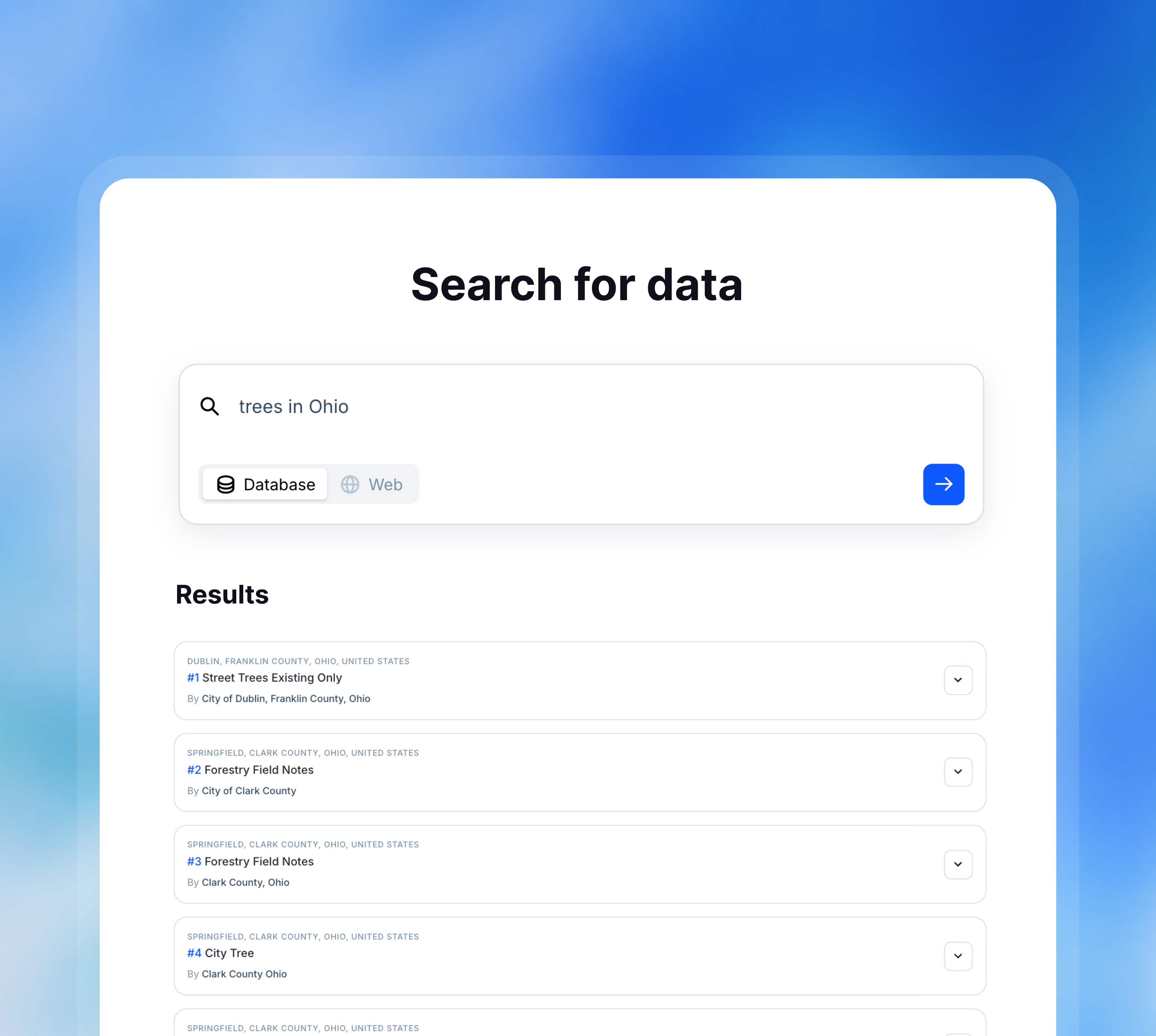
Search for location data
Directory of 1,000,000+ datasets from national and regional sources.
Once we approve your request, you'll receive a welcome email.
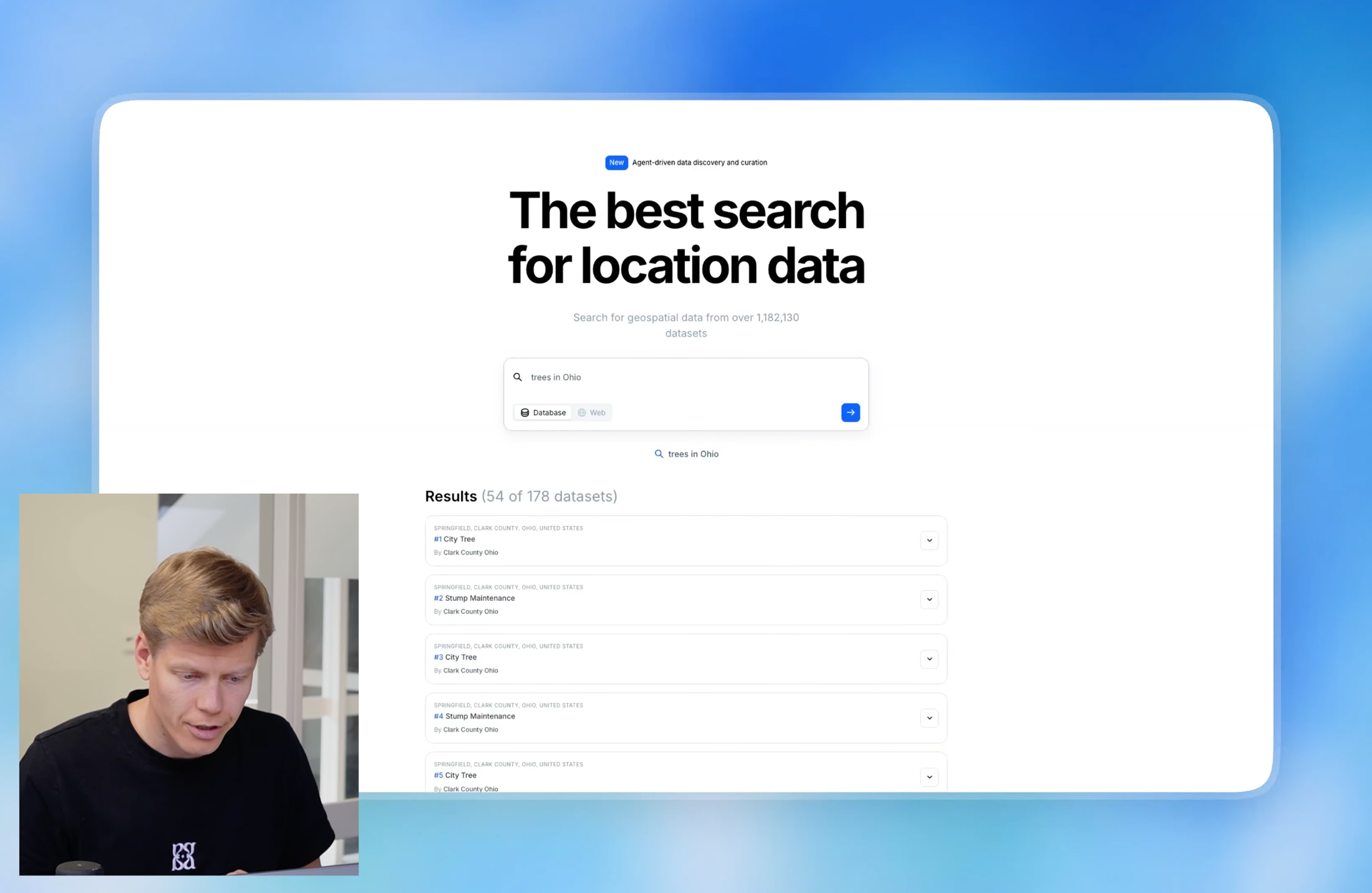
One search bar
Type "flood zones Miami" or "zoning Berlin" — get a map. No portals, no shapefiles, no formats from 1994. We did the cleaning so you don't have to.
Every major source
1M datasets from US federal, state, and city sources, plus 28 EU countries — all in the same projection, same format, ready to map. What used to take three days takes three seconds.
Ready to use
No software, no licenses, no GIS degree required. Click a dataset and it opens as a live map in Atlas. Layer it, edit it, share it — the way maps should work.
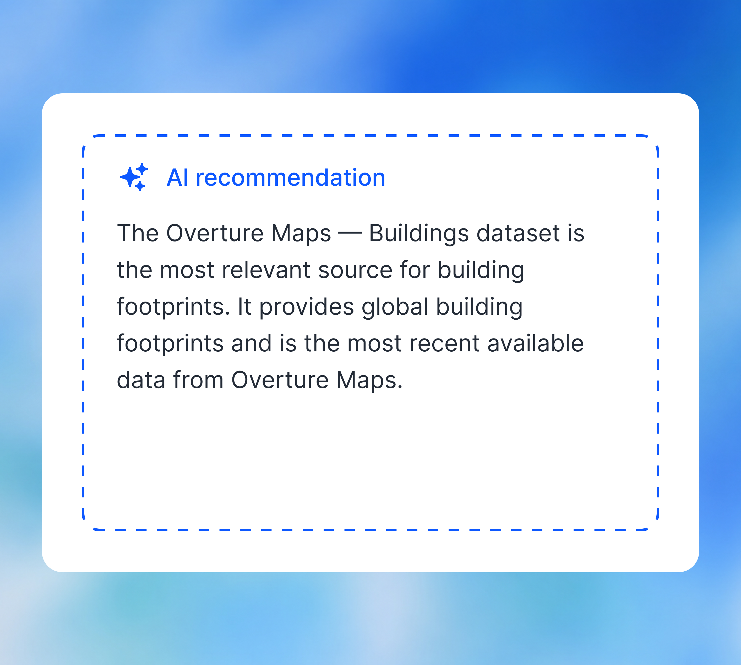
Ask in plain English
Don't know the exact dataset name? Just describe what you need. "Schools within 500m of a flood zone in Rotterdam." "Census tracts where median income dropped since 2020." Atlas Data understands the question and returns the right layers — already filtered, already mapped.
Intelligent filtering and sorting
Atlas Data ranks results by what actually matters: how fresh the data is, how complete the coverage is, and how often other people use it. Filter by source, update frequency, geography, or format — and surface the dataset most people pick first.
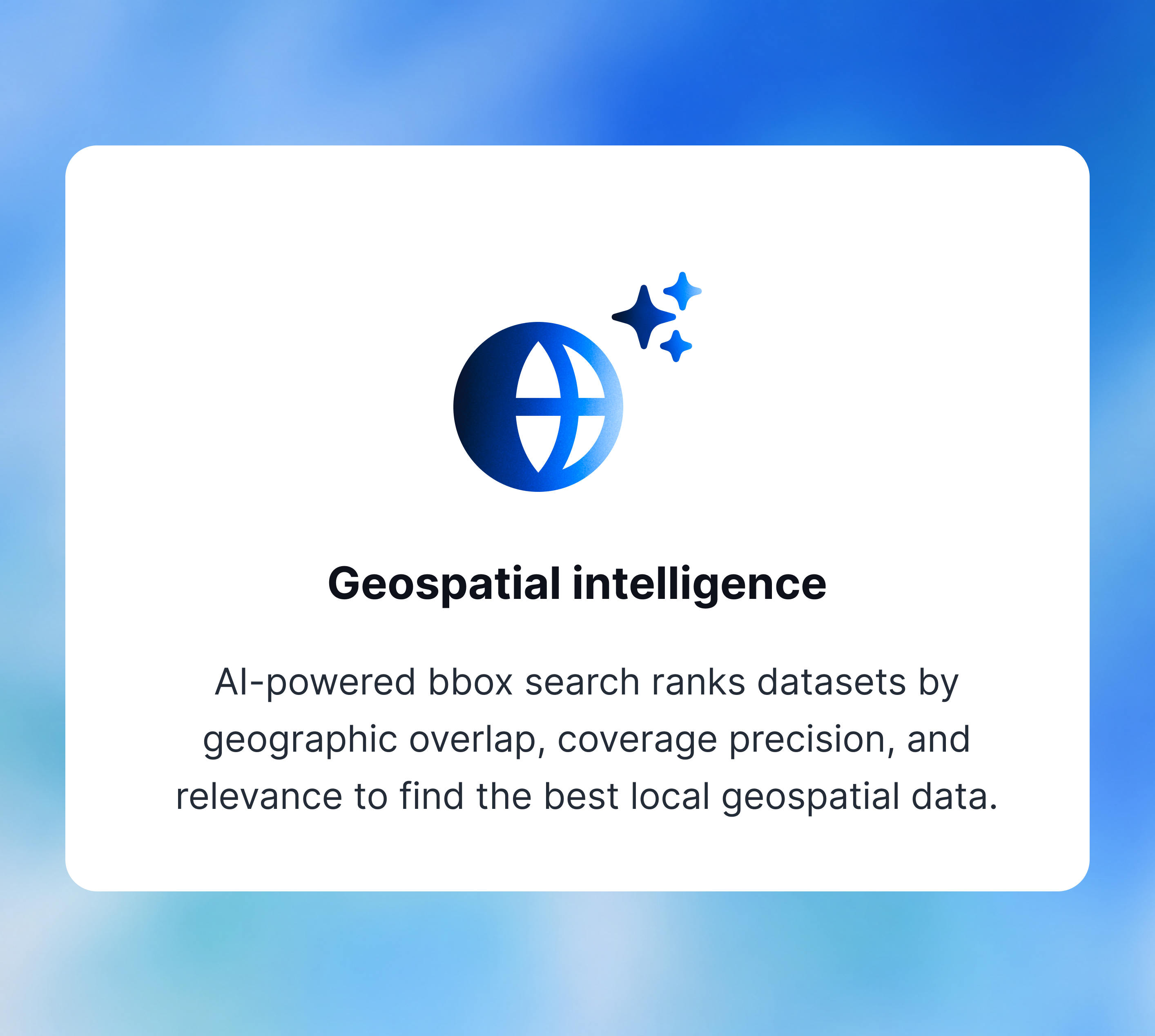
Geospatial intelligence
Intelligent search understands the geographical context of your query and returns the most relevant datasets. The data is automatically filtered to the correct geography and updated to the most recent version.