QGIS Field Maps Alternative
A modern, mobile-friendly alternative to QGIS Field Maps for field data collection and editing


Why teams compare QGIS Field Maps to Atlas
Field workflows need simple capture, reliable sync, and maps the office can see immediately. Atlas keeps everything in the browser so you are not juggling installs and versions.
No app-store dependency for every role
Many workflows can run fully in mobile browsers—fewer deployment blockers.
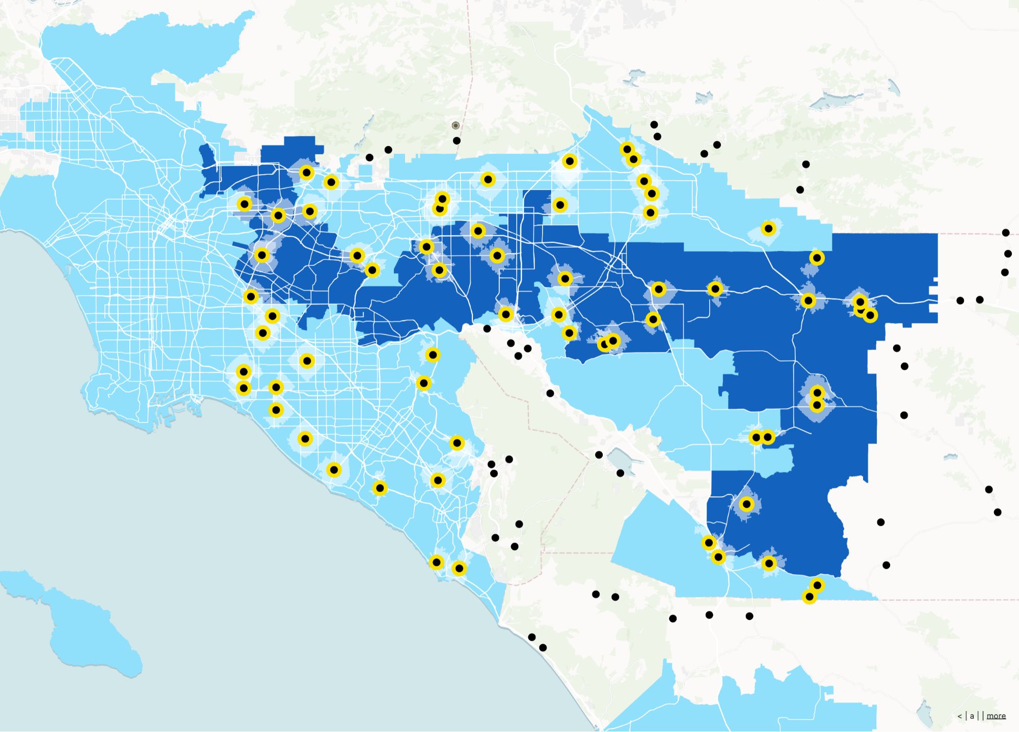
Office sees edits live
Reduce end-of-day sync surprises with continuously updated maps.
Forms + map in one place
Structured field data lands where GIS and ops teams already work.
Offline mode for the field
Atlas supports offline data collection so crews can keep working without connectivity—then sync when back online.
QGIS Field Maps vs Atlas
Compare QGIS Field Maps and Atlas on core mapping and collaboration features.
| Feature | QGIS Field Maps | Atlas |
|---|---|---|
| Collect data in the field | ||
| Offline mode | ||
| Mobile-ready forms | ||
| No app install needed | ||
| Real-time sync | ||
| Cloud-based | ||
| Team collaboration | ||
| No-code form builder | ||
| Instant map updates | ||
| Photo uploads | ||
| Free to use |
Use Atlas in the field—no app required
Open a browser and go. Atlas lets field teams collect data, fill forms, and update maps instantly from any device.
Try it in the field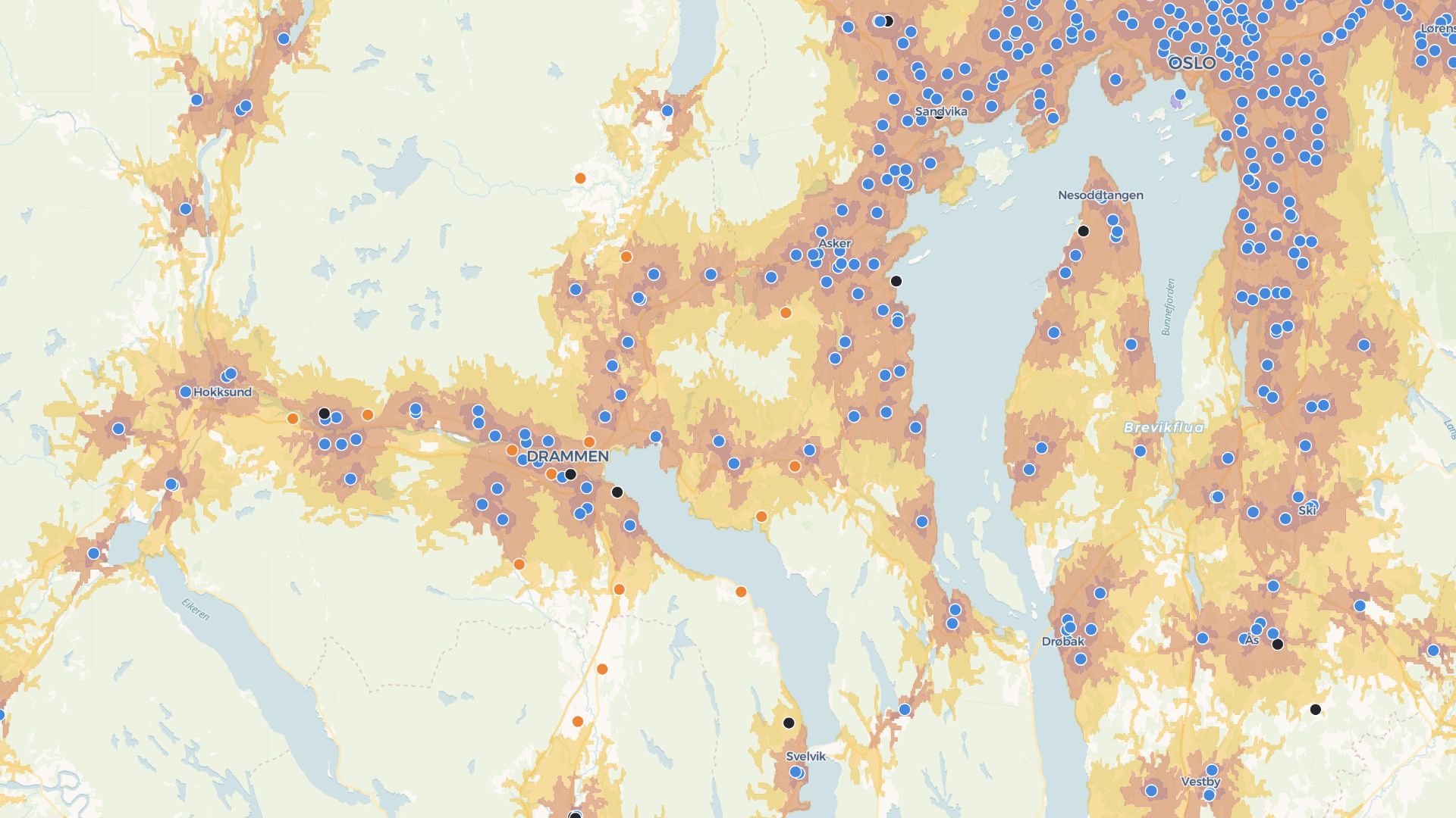
Build forms and tools for field teams
Need a custom form for inspections? Or a live-updating dashboard? Atlas gives you no-code tools to build what you need fast.
Build your first formWho uses Atlas for field + office
Inspections & audits
Photos and answers tied to map features.
Environmental field programs
Crews update observations; PMs track progress centrally.
Asset maintenance
Capture issues on site; dispatch from the same map.
Field capture without GIS friction
Purpose-built for teams that need reliable updates from the ground.
Mobile-optimized forms
Fast entry on phones and tablets.
Live layer updates
Office and field stay aligned.
Role-friendly UX
Non-GIS staff can contribute with guardrails.
Map-driven navigation
Jump from feature to form in a few taps.
Audit trail patterns
Structured submissions instead of ad hoc messages.
Shareable views
Publish read-only maps for partners.
Offline support
Collect data without connectivity and sync later.
Frequently asked questions
Answers for teams switching from QGIS Field Maps to Atlas.
Do I need to install an app?
Can I use it offline?
Can I collect data with forms?
Can I upload photos from the field?
Is Atlas free to use?
Can I collaborate with my team?
© Atlas 2026 / Your all-in-one map builder