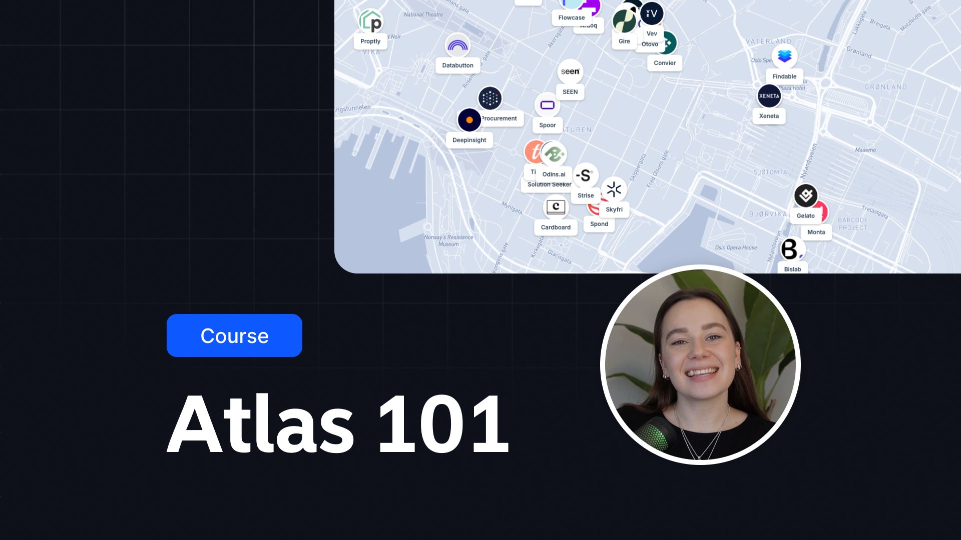
Atlas 101

Atlas 101
The Atlas 101 Course is your comprehensive introduction to mastering Geographic Information Systems (GIS) using Atlas — a modern, browser-based GIS platform. Designed for beginners and professionals alike, this course will guide you step by step to harness the power of GIS for creating maps, analyzing spatial data, and collaborating with teams effortlessly.
Whether you're an analyst, urban planner, environmental scientist, or someone curious about GIS, this course will provide the skills you need to succeed.
What Makes This Course Special?
Atlas 101 focuses on making GIS accessible to everyone. No need for advanced technical expertise or expensive software installations. With Atlas, you can achieve professional results right from your web browser.
Through clear lessons, hands-on projects, and practical examples, you'll learn how to apply GIS concepts to solve real-world problems.
What You’ll Learn
- The Basics of GIS: Understand what GIS is and how it helps analyze and visualize spatial data.
- Navigating the Atlas Platform: Learn to use Atlas for data visualization, map creation, and collaboration.
- Creating Maps: Gather data, upload it to Atlas, and design visually stunning maps tailored to your needs.
- Working with Layers: Organize and style data layers for clear, informative maps.
- Data Analysis: Use spatial analysis tools like buffer zones, heatmaps, and points-in-polygon techniques.
- Collaboration Tools: Share maps with teammates, edit together in real time, and manage versions.
- Interactive Mapping: Add interactivity with pop-ups, filters, and live updates.
