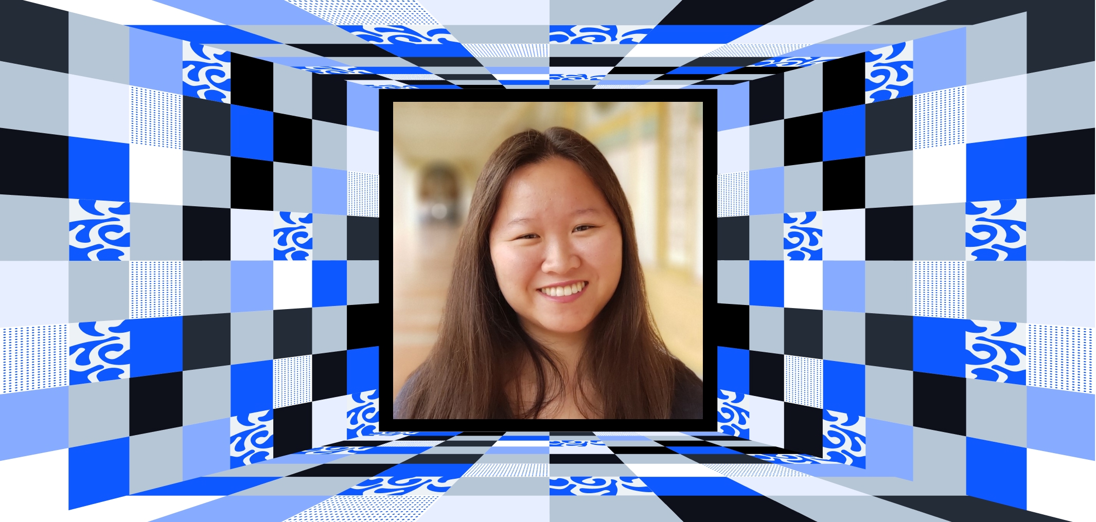
Wanmei Liang is a trailblazer in GIS, data visualization, and cartography. As a Science Data Visualizer at NASA Earth Observatory, she turns complex Earth data into clear, beautiful visual stories—making science accessible to everyone.
Bridging Science and Storytelling at NASA
At NASA Earth Observatory, Wanmei’s work focuses on creating:
- Stunning maps and images derived from satellite, airborne, and ground data
- Visual stories that translate scientific findings for the general public
Her work combines accuracy and artistry, showcasing Earth’s changes in ways that engage and educate audiences worldwide. By collaborating with scientists and engineers, Wanmei brings Earth data to life—making the invisible, visible.
A Dedicated Leader in the GIS Community
Wanmei isn’t just a data visualizer—she’s an advocate for the GIS community and an inspiring role model for aspiring professionals. She serves as the Vice President of Women in GIS, where she empowers women to advance in the geospatial industry.
Her involvement in initiatives like the #30DayMapChallenge and GISChat demonstrates her commitment to sharing knowledge, fostering creativity, and connecting with the broader GIS network.
A Rising Star in Cartography and GIS
Wanmei’s experience spans roles as a GIS Technician, Research Data Analyst, and volunteer GIS specialist for DisasterGIS. Her work has supported critical initiatives, from emergency services and infrastructure mapping to archaeological research.
Her educational background—grounded in Geography and GIS from UCLA—forms the foundation for her success in remote sensing, spatial analysis, and visualization.
Why Wanmei Liang Deserves Celebration
Wanmei Liang is a storyteller, leader, and innovator who uses GIS and visualization to make Earth data meaningful. From NASA to the global GIS community, her work bridges the gap between science and the public—showing us the power of maps to inspire understanding and action.
Thank you, Wanmei, for your dedication to visualizing Earth’s story and for empowering others to make their mark in GIS 🌍✨. Your work is changing the way we see and understand our world.

