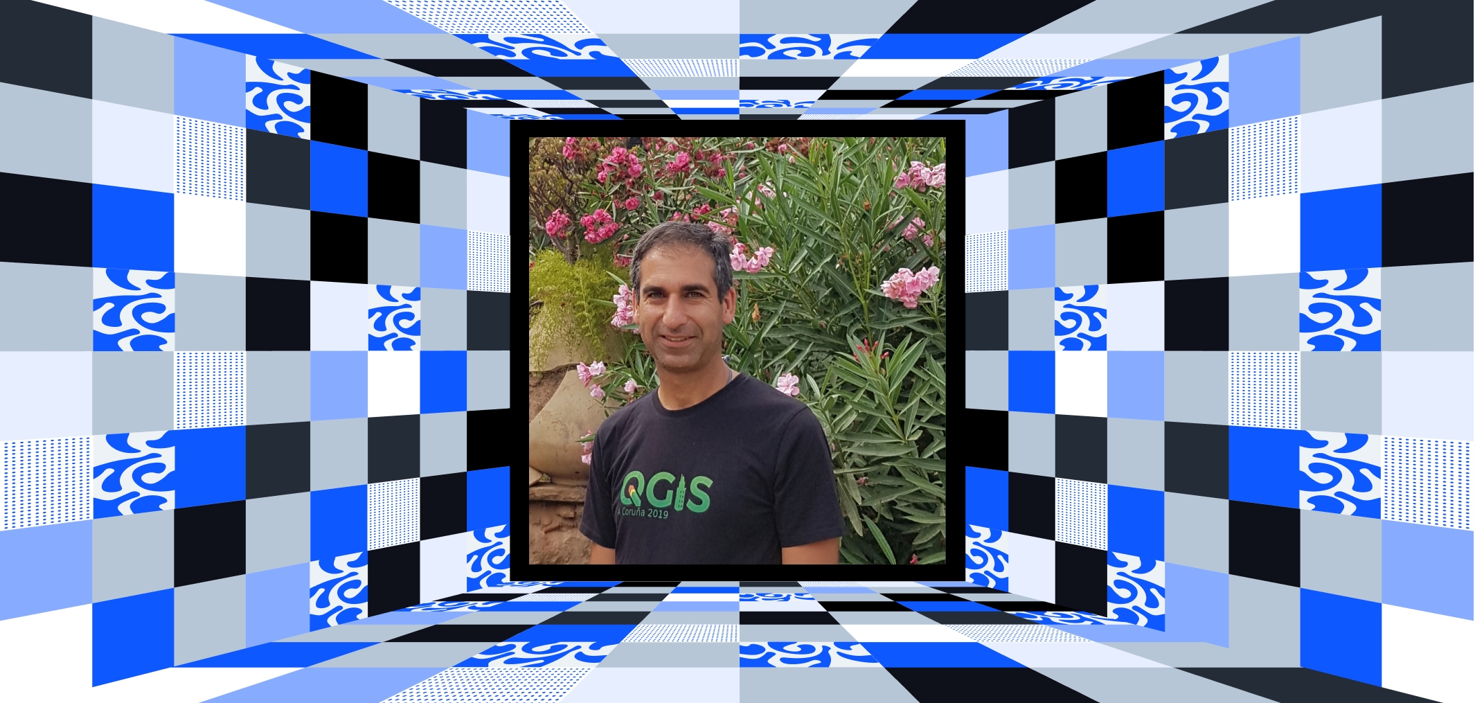
Hans van der Kwast is a leading light in the world of GIS and remote sensing, celebrated for his dedication to open science, digital innovation, and empowering others. With over two decades of expertise, Hans has transformed how GIS is taught, implemented, and shared globally.
A Career Built on Expertise and Innovation
Hans holds a master’s degree in Physical Geography with a specialization in GIS and Remote Sensing from Utrecht University. His career began with roles in research and academia, including a PhD on integrating satellite-based modeling with soil moisture data. Since then, Hans has continued to excel, pushing the boundaries of GIS applications in water management, remote sensing, and eLearning.
Currently, Hans is an Associate Professor of Open Science and Digital Innovation at IHE Delft Institute for Water Education. Through his work, he merges teaching with cutting-edge research, focusing on open-source GIS, spatial modeling, and capacity development in the water sector.
A Global Advocate for Open-Source GIS
Hans has made significant contributions to the QGIS community, an open-source GIS platform. He’s a certified QGIS trainer, co-founder of the Dutch QGIS User Group, and the developer of the widely downloaded PCRaster Tools plugin.
In 2022, he founded QWAST-GIS, where he provides training, coaching, and consultancy on open-source GIS. Hans also created the GIS OpenCourseWare platform, a hub for free learning materials on tools like QGIS, Python, and Google Earth Engine. His commitment to open access ensures that GIS professionals worldwide can upskill without barriers.
An Educator and Innovator
Teaching is at the heart of Hans’s work. Over his career, he has led numerous workshops, developed eLearning programs, and authored QGIS for Hydrological Applications. His YouTube channel, with over 25,000 subscribers, features tutorials and insights that make GIS accessible to learners everywhere.
Beyond teaching, Hans collaborates on capacity development projects in developing countries, empowering local water sector organizations with GIS tools and solutions.
Awards and Contributions
Hans’s publications and innovations have cemented his status as a thought leader. His research spans diverse topics, from urban dynamics to hydrological modeling, earning him recognition in both academic and professional circles.
Through his work, Hans has made GIS not only a tool for analysis but a medium for understanding and solving real-world challenges.
Why Hans van der Kwast Deserves Celebration
Hans van der Kwast is more than an academic or a professional; he’s a global ambassador for open science and GIS innovation. His efforts in education, community building, and technology development have made GIS more inclusive and impactful.
Hans exemplifies the power of open-source tools and collaborative learning. By democratizing GIS, he ensures that knowledge and technology reach everyone, everywhere.
Thank you, Hans, for inspiring a generation of GIS professionals and for proving that open science truly changes the world 🌍.

