Atlas provides easy-to-use tools for drawing and editing geometries directly on the map.
Tools Available
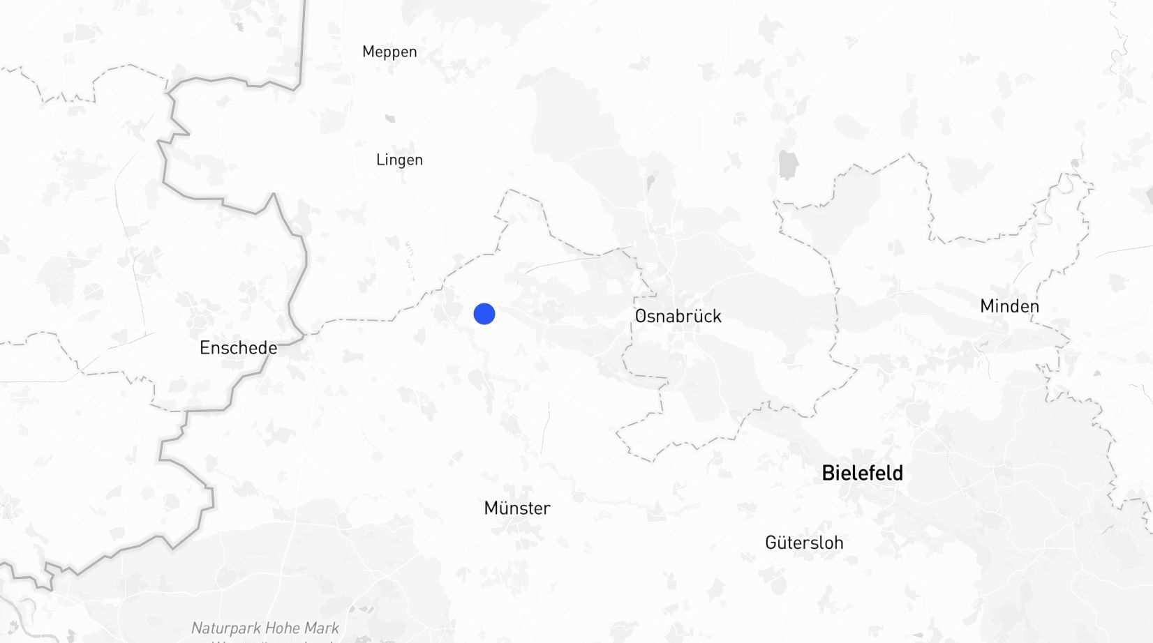
1. Point P
- Place a single marker on the map.
- Use this to mark a specific location or point of interest.
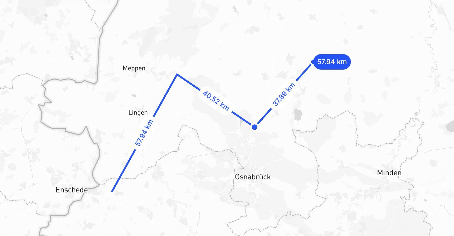
2. Line L
- Draw straight or connected lines.
- Perfect for paths, routes, or measuring distances.
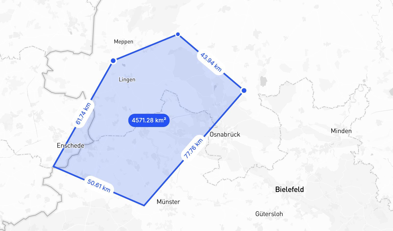
3. Polygon SHIFT + P
- Create custom shapes by connecting multiple points.
- Use this for defining areas like regions, boundaries, or zones.
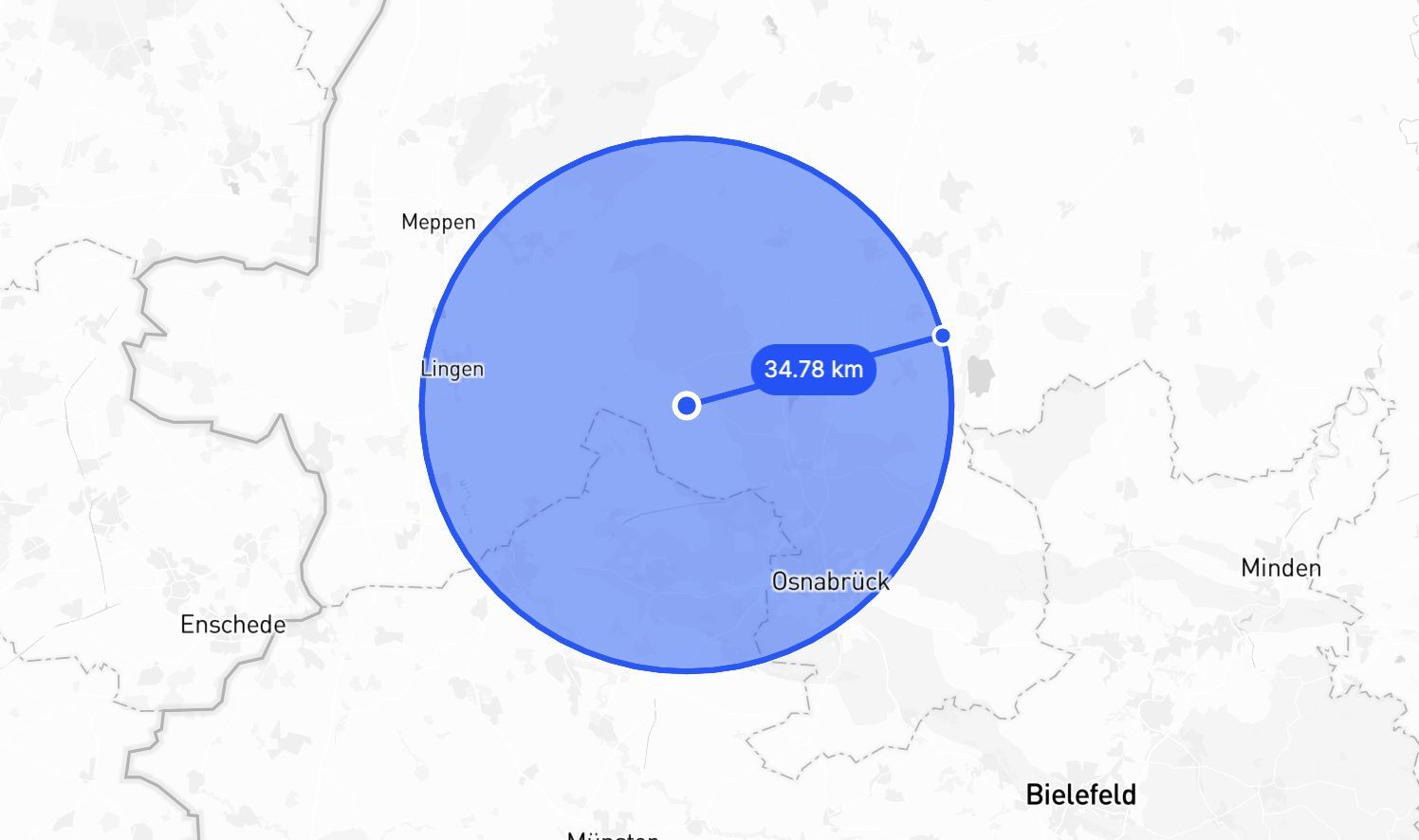
4. Circle SHIFT + C
- Draw a circle by setting the center and dragging outwards.
- Ideal for visualizing buffer zones or areas around a point.
Tips
If you hold SHIFT when in draw mode you can snap to edges of nearby geometries. This makes it super simple to get perfect alignments.