GIS-ImmoRisk Naturgefahren is a specialized Geographic Information System (GIS) tool designed to support real estate stakeholders in Germany with comprehensive natural hazard risk assessment for property investments and development projects. The platform provides detailed spatial analysis of natural disaster risks affecting real estate values, insurance requirements, and development feasibility.
The tool enables property owners, developers, buyers, and real estate professionals to make informed decisions by visualizing and analyzing various natural hazard risks including floods, storms, earthquakes, and other climate-related threats that could impact property values and safety.
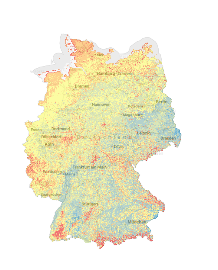
Key Features
- Multi-hazard risk mapping covering floods, storms, earthquakes, landslides, and other natural disasters
- Property-specific risk assessment providing detailed risk profiles for individual real estate locations
- Interactive GIS interface enabling spatial analysis and visualization of hazard exposure
- Historical disaster data showing past events and frequency of natural hazard occurrences
- Risk ranking systems categorizing properties by level of natural hazard exposure
- Insurance risk indicators supporting insurance assessment and premium calculations
Applications
- Real estate investment evaluating natural hazard risks before property purchases
- Development planning assessing site suitability and risk mitigation requirements
- Insurance underwriting supporting risk-based premium calculations and coverage decisions
- Property valuation incorporating natural hazard risks into market value assessments
- Risk disclosure providing transparent hazard information for property transactions
- Emergency preparedness identifying vulnerable properties for disaster planning
Natural Hazard Coverage
- Flood risks including river flooding, flash floods, and coastal storm surge
- Storm damage from windstorms, hail, and severe weather events
- Earthquake hazards showing seismic risk zones and ground motion potential
- Landslide susceptibility indicating slope stability and mass movement risks
- Wildfire exposure assessing fire risk in forest and wildland-urban interface areas
- Extreme weather covering heat waves, drought, and winter storm impacts
Target Users
- Real estate buyers seeking comprehensive hazard information before property purchase
- Property developers evaluating site risks and planning mitigation measures
- Real estate agents providing clients with detailed risk assessments and disclosures
- Insurance companies assessing natural disaster exposure for underwriting decisions
- Property managers identifying risks for existing real estate portfolios
- Financial institutions evaluating collateral risks for mortgage and investment decisions
Risk Assessment Capabilities
- Address-specific queries providing detailed risk profiles for individual properties
- Regional risk comparison enabling evaluation of multiple locations simultaneously
- Historical trend analysis showing changes in natural hazard exposure over time
- Scenario modeling assessing potential impacts under different hazard conditions
- Vulnerability assessments identifying specific property characteristics affecting risk
- Mitigation guidance suggesting risk reduction measures and protective strategies
Technical Specifications
- High-resolution spatial data providing detailed local-scale risk information
- Multi-source data integration combining meteorological, geological, and hydrological datasets
- Real-time updates ensuring current information on hazard conditions and risks
- User-friendly interface designed for non-technical real estate professionals
- Mobile accessibility enabling field-based risk assessment and property evaluation
- Export capabilities allowing integration of risk data into business workflows
GIS-ImmoRisk Naturgefahren serves as an essential decision-support tool for the German real estate sector, promoting informed investment decisions and enhanced property risk awareness in an increasingly climate-vulnerable environment.