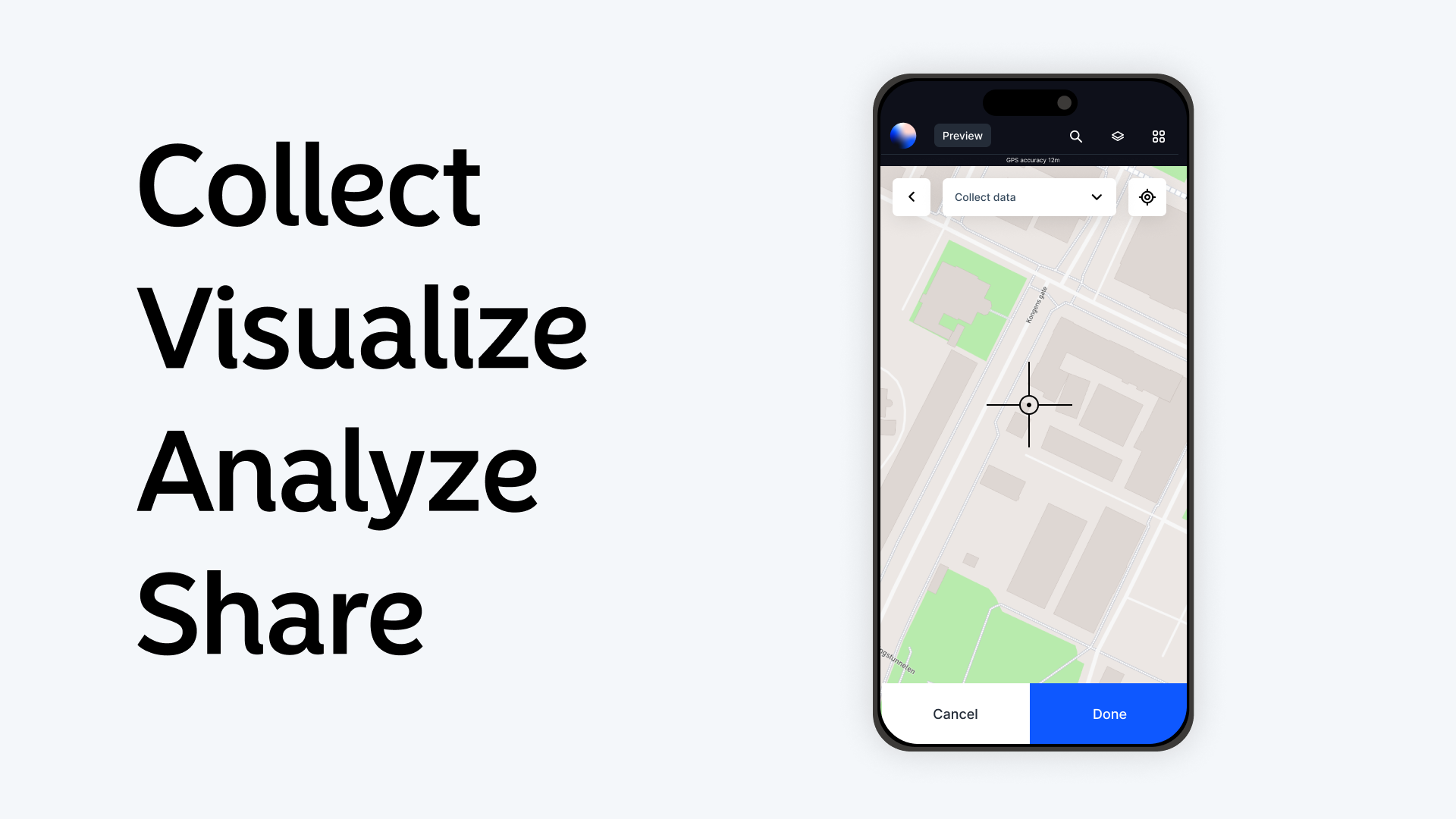
Mobile GIS applications are transforming how geospatial data is collected, analyzed, and shared. With smartphones and tablets becoming more powerful, GIS tools can now fit in your pocket, enabling real-time mapping and data analysis in the field. These applications expand the accessibility of GIS, making it easier for professionals across various industries to work more efficiently.
What Is Mobile GIS?
Mobile GIS combines GIS tools and functionalities with mobile technology. It allows users to access, edit, and share geospatial data on the go, bridging the gap between office and fieldwork.
Whether it’s collecting data in remote areas, verifying map accuracy, or conducting surveys, mobile GIS applications bring the power of geospatial technology to your fingertips.
Key Features of Mobile GIS Applications
-
Real-Time Data Collection
- Mobile GIS apps allow users to collect data directly in the field. Using GPS-enabled devices, you can capture location-specific information with high accuracy.
-
Offline Capabilities
- Many apps include offline functionality, crucial for areas with limited connectivity. Users can download maps and upload data once reconnected.
-
Integration with Sensors
- Mobile GIS integrates with external devices like drones, environmental sensors, or RTK GPS units, enhancing data collection capabilities.
-
Collaboration Tools
- These apps enable teams to work together in real time, sharing updates and editing maps collaboratively.
-
Customizable Workflows
- Users can tailor workflows to their specific needs, whether it’s conducting land surveys, managing utility assets, or monitoring environmental changes.
Industries Leveraging Mobile GIS
Environmental Monitoring
Mobile GIS helps monitor natural resources and track environmental changes. For example, field researchers use it to log observations on wildlife habitats or deforestation areas.
Utilities and Infrastructure
Utility companies rely on mobile GIS for asset management and maintenance. Workers can map utility lines, update asset conditions, and report issues directly from the field.
Urban Planning
Planners use mobile GIS to evaluate land use and infrastructure in real-time, speeding up decision-making processes and ensuring accurate project execution.
Disaster Response
Emergency teams use mobile GIS during disasters to map affected areas, plan evacuation routes, and coordinate relief efforts efficiently.
Agriculture
Farmers use mobile GIS for precision agriculture, mapping soil conditions, tracking crop health, and optimizing resource usage.
Popular Mobile GIS Applications
ArcGIS Field Maps
- Combines data collection, map viewing, and navigation in a single app.
- Features offline mapping and integration with Esri’s ecosystem.
Atlas
- A browser-based GIS platform accessible via mobile devices. Ideal for collaborative mapping and data analysis without needing extensive GIS expertise.
Survey123 by Esri
- Simplifies data collection with customizable surveys linked to geospatial data.
Google Earth
- Offers basic GIS functionality for exploring and marking locations on satellite imagery.
QField
- A mobile companion to QGIS, suitable for advanced users requiring desktop-level capabilities on the go.
Benefits of Mobile GIS
-
Enhanced Efficiency
- Field teams save time by directly inputting data into GIS systems, eliminating the need for double-entry or data transfers.
-
Improved Accuracy
- GPS-enabled devices provide precise location data, reducing errors in data collection.
-
Cost Savings
- Streamlined workflows and reduced need for expensive hardware make GIS more affordable and accessible.
-
Real-Time Decision Making
- Instant data updates allow organizations to respond quickly to on-site changes or emergencies.
-
Broader Accessibility
- Mobile GIS opens the door for non-GIS professionals to use geospatial tools effectively.
Challenges in Mobile GIS
Despite its advantages, mobile GIS has limitations:
- Battery Life: Prolonged field use can drain device batteries quickly.
- Connectivity Issues: Remote areas may lack reliable internet, though offline features mitigate this.
- Device Limitations: Mobile devices may not handle large datasets or complex analyses as well as desktop GIS.
Tips for Successful Mobile GIS Implementation
-
Choose the Right Tools
- Match app features to your project requirements. If collaboration is essential, consider browser-based tools like Atlas.
-
Prepare for Offline Work
- Pre-download maps and data for areas with poor connectivity.
-
Train Your Team
- Ensure users are familiar with app functionalities and workflows to maximize efficiency.
-
Invest in Accessories
- Consider external GPS devices, battery packs, or rugged cases to enhance performance in challenging environments.
-
Test in the Field
- Run pilot tests to identify potential issues and refine workflows before full deployment.
The Future of Mobile GIS
The growth of mobile GIS is driven by advances in technology, such as 5G networks, AI integration, and augmented reality (AR). These innovations will make mobile GIS more powerful, user-friendly, and indispensable across industries.
Mobile GIS applications are not just tools—they are enablers of smarter decisions and more effective actions. Whether you’re monitoring wildlife, managing urban infrastructure, or planning disaster responses, mobile GIS empowers you to achieve your goals wherever you are. Start leveraging the power of mobile GIS today—log in to Atlas and transform the way you work on the go.


