In times of crisis, having an efficient and reliable emergency plan can make a significant difference in ensuring community safety.
One critical component of such a plan is mapping emergency shelters.
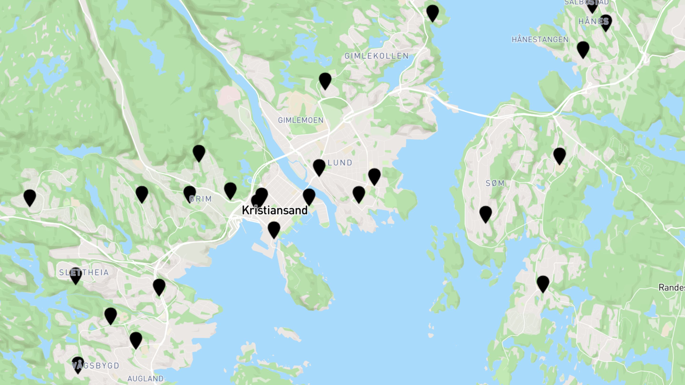
By using a browser-based GIS platform like Atlas, municipalities can create detailed, accessible maps of emergency shelters that help residents find safety quickly and easily.
This guide will walk you through the steps of mapping emergency shelters using Atlas.
Why Map Emergency Shelters?
Mapping emergency shelters provides numerous benefits, including:
- Improved Safety: Quick access to shelter locations can save lives during emergencies
- Better Planning: Helps municipal planners ensure shelters are evenly distributed and accessible
- Effective Communication: Clear maps make it easier to communicate shelter locations to the public
Getting Started with Atlas
Atlas is a user-friendly, browser-based GIS platform. It allows you to create, edit, and share maps online without needing extensive technical knowledge. Here’s how you can use Atlas to map emergency shelters in your municipality.
Step 1: Gather Your Data
Before you start mapping, you need accurate data about your emergency shelters. This includes:
- Locations: Addresses or coordinates of all emergency shelters
- Capacity: How many people each shelter can accommodate
- Facilities: Information on available amenities like medical supplies, food, and bedding
- Access Routes: Details on how to reach each shelter, including major roads and public transport options
You can obtain this data from local government records, emergency management agencies, and shelter operators.
Step 2: Set Up Your Atlas Account
To use Atlas, you need to create an account:
- Visit Atlas: Go to Atlas and sign up for an account
- Log In: Once registered, log in to your Atlas account
Step 3: Create a New Map
- Start a New Project: Click on the “Create New Project” button
- Name Your Map: Give your map a descriptive name, such as “Municipal Emergency Shelters”
- Set the Area: Define the geographic area you’ll be mapping. This could be your entire municipality or specific regions.
Step 4: Input Shelter Data
- Add Layers: Layers help organize different types of information on your map. Create layers for shelter locations, access routes, and any other relevant data.
- Enter Data: Manually input your shelter data or upload a file if you have the information in a geo file. Make sure to include all relevant details like address, capacity, and facilities.
Step 5: Customize Your Map
- Markers: Use distinct markers to represent each shelter. Different colors or icons can indicate shelter capacity or specific facilities.
- Labels: Add labels to provide more information about each shelter. This can include the shelter name, address, and contact details.
- Routes: Highlight major access routes to each shelter to help people find the quickest way there.
Step 6: Review and Edit
- Check Accuracy: Ensure all shelter locations and details are correct.
- Edit as Needed: Make any necessary adjustments to improve clarity and accuracy.
Step 7: Share Your Map
- Public Access: Decide how you want to share your map. You can make it publicly accessible or restricted to certain users.
- Embed or Link: Use the embed code to add the map to your municipal website, or share a direct link via social media, email, or public notices.
Step 8: Update Regularly
- Ongoing Updates: Emergency shelter information can change, so it’s crucial to keep your map updated. Set a schedule for regular reviews and updates.
- Community Feedback: Encourage community members to provide feedback and report any inaccuracies.
Tips for Effective Emergency Shelter Mapping
- Simplicity: Keep your map simple and easy to understand. Overloading it with information can make it confusing.
- Accessibility: Ensure your map is accessible to everyone, including people with disabilities. Use clear, readable fonts and high-contrast colors.
- Multi-Language Support: If your community is multilingual, provide map labels and descriptions in multiple languages.
- Mobile-Friendly: Ensure your map is optimized for mobile devices, as many people will access it on their smartphones.
Benefits of Using Atlas for Emergency Shelter Mapping
Using Atlas offers several advantages:
- Ease of Use: Atlas is designed to be user-friendly, even for those without GIS experience.
- Real-Time Collaboration: Multiple users can work on the map simultaneously, allowing for efficient collaboration.
- Scalability: Atlas can handle large datasets, making it suitable for municipalities of all sizes.
- Accessibility: As a browser-based platform, Atlas is accessible from anywhere with an internet connection.
Mapping emergency shelters using a browser-based GIS platform like Atlas is an effective way for municipalities to enhance community safety and preparedness. By following the steps outlined in this guide, you can create a detailed, user-friendly map that helps residents quickly locate emergency shelters during a crisis.
Remember, the key to effective emergency shelter mapping is maintaining accurate, up-to-date information and making the map easily accessible to all community members. Start mapping your emergency shelters today with Atlas and take a proactive step towards a safer, more prepared community.


