Today, we're excited to announce a new update to Atlas: Real-Time Collaboration!
This new feature is set to transform how teams interact, edit, and manage geographic data, making the process more seamless, intuitive, and productive.
The Power of Real-Time Collaboration
Real-Time Collaboration brings together teams spread across different locations, enabling them to work on the same project simultaneously. With this update, we're not just enhancing our software; we're redefining the standards of collaborative GIS projects.
Here’s what Real-Time Collaboration brings to your team:
Real-Time Cursor Sharing
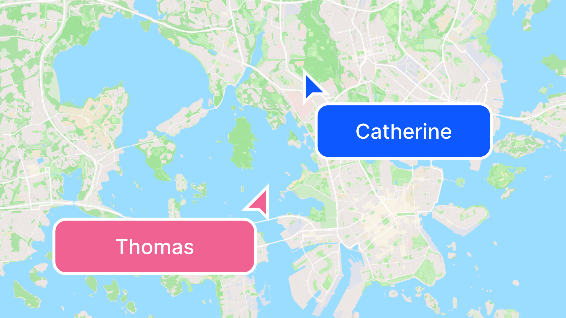
Witness the power of teamwork with real-time cursor sharing, where each collaborator's cursor is visible on the screen. This feature not only makes it easier to follow your team's actions but also enhances communication.
No more back-and-forth emails or messages to explain which part of the map you're discussing. It’s like having your team working together in the same room, regardless of their physical location.
Instant Updates
Gone are the days of waiting for a refresh to see the latest changes. With Real-Time Collaboration, every edit, adjustment, or annotation made by any team member is updated instantly for all collaborators.
This feature ensures that everyone is always on the same page, working with the most current data, which is crucial for the accuracy and reliability of your GIS projects.
How It Works
Our Real-Time Collaboration feature is intuitive and user-friendly, designed with the needs of GIS professionals in mind. Here's a quick overview of how it works:
-
Enter a Project: Start by opening your project and inviting your team members to join.
-
Collaborate Effortlessly: Once your team is in, everyone can start working simultaneously. You'll see each other's cursors move in real-time, and changes made by any collaborator will appear instantly.
-
Communicate and Annotate: Use the Comment feature to communicate with your team or annotate directly on the map for more specific instructions or feedback.
-
Finalize and Share: After collaborative editing, you can easily share it with stakeholders or save it for further analysis.
Why Real-Time Collaboration Matters
Geospatial data is complex and projects are often dynamic, which makes collaboration key to success. Real-Time Collaboration addresses several challenges faced by GIS professionals:
- Enhanced Productivity: By allowing team members to work together in real time, projects can move forward faster, with decisions made and implemented promptly.
- Improved Accuracy: With multiple eyes on the data at the same time, errors can be spotted and corrected immediately, enhancing the overall quality of the project.
- Better Decision Making: Real-time collaboration facilitates a dynamic exchange of ideas, leading to more informed decisions and innovative solutions.
- Streamlined Workflows: This feature eliminates the need for repetitive file exchanges and updates, streamlining the workflow and saving valuable time.
Getting Started with Real-Time Collaboration
Ready to take your GIS projects to the next level? Real-Time Collaboration is now available to all users of Atlas. Simply log in to your account, and you'll find all the tools you need to start collaborating with your team in real time.
We're excited to see how Real-Time Collaboration will empower your team to achieve greater success. Start exploring this feature today and experience the future of GIS collaboration.


