
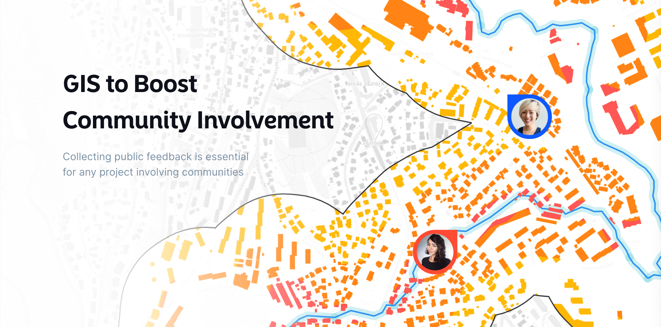
Getting the community involved in local projects and decision-making processes can be a challenge. People want to have their say, but sometimes, they don’t know how or where to voice their opinions. This is where GIS (Geographic Information Systems) steps in, offering a simple and effective way to engage communities.
Whether it’s city planning, environmental initiatives, or infrastructure projects, GIS technology allows people to visualize and interact with the world around them. By incorporating GIS into your community projects, you can make it easier for residents to get involved, share their ideas, and provide feedback.
Let’s dive into how GIS can help boost community involvement.
What is GIS, and Why Does it Matter?
At its core, GIS is a system designed to capture, store, manipulate, analyze, and present spatial or geographic data. But that’s just a technical way of saying it’s a tool that helps people understand complex data through maps.
When you use GIS, you’re creating interactive maps that people can explore and contribute to. These maps are a fantastic way to engage the public because they offer a visual representation of information—something that’s much easier for people to relate to than pages of data.
For example, a city planning a new park could use GIS to create a map showing potential locations. The public could then view this map, see how each location might impact their neighborhood, and leave comments or suggestions. It’s an easy, accessible way for residents to be part of the decision-making process.
How GIS Can Boost Community Involvement
1. Easy Access to Information
One of the biggest barriers to community involvement is access to clear, understandable information. Not everyone has the time to attend town hall meetings or read lengthy project proposals. GIS solves this problem by putting essential information in front of people in a way that’s simple to understand.
With interactive maps, community members can easily see what’s happening in their area. For example, they can visualize proposed zoning changes, upcoming construction projects, or environmental risks like flood zones. With everything laid out visually, residents can quickly grasp the issues that matter to them.
2. Real-Time Feedback
GIS platforms like Atlas allow for real-time public feedback. Community members can leave comments directly on the map, voicing their concerns or offering suggestions. This makes the feedback process smoother and more inclusive. Instead of waiting for formal meetings, residents can share their thoughts whenever it's convenient for them.
By making it easy to comment on specific locations or projects, GIS helps ensure that the feedback you receive is relevant and actionable. You get a clearer understanding of public sentiment, and community members feel heard.
3. Encouraging Collaborative Decision-Making
GIS doesn’t just make it easier for the public to share their opinions—it also helps them become part of the decision-making process. Through map-based tools, residents can explore different options and contribute to discussions about where resources should be allocated or what projects should be prioritized.
For example, imagine a city deciding on the placement of new bike lanes. By using a map, community members could see which streets are under consideration, add suggestions, and highlight areas where bike lanes would make the most sense. This level of collaboration ensures that projects are shaped by the people who will be most affected by them.
4. Transparency and Trust
Transparency builds trust, and GIS is a powerful tool for transparency. When you use GIS to share project updates, current data, and decision-making processes, it shows the community that you're being open and honest. Residents can see how decisions are being made, what progress is being made, and how their feedback is being used.
For example, a city working on flood mitigation could use GIS to show residents the areas most at risk and the steps being taken to reduce those risks. By keeping the public informed, you foster a sense of trust and cooperation.
Real-Life Examples
1. Urban Planning
In many cities, GIS has been used to involve the community in urban planning projects. For example, in Boston, the city created an interactive map where residents could explore different plans for developing a downtown area. The map allowed them to leave comments and suggestions, which were then incorporated into the final decision-making process.
2. Environmental Projects
GIS has also been widely used in environmental projects. Communities can use GIS to track pollution, protect natural habitats, or manage resources more effectively. Residents can view environmental maps to see how projects like tree planting or water conservation efforts are progressing and provide input on what they think should happen next.
3. Transportation Planning
Cities around the world use GIS for transportation planning. By sharing interactive maps of proposed bus routes or bike lanes, cities allow residents to give feedback on how these changes will impact their daily commutes. This input helps shape projects that are more aligned with the community’s needs.
How to Get Started with GIS for Community Involvement
If you’re looking to use GIS to boost community engagement, there are a few key steps to follow:
-
Choose a User-Friendly GIS Platform: Platforms like Atlas are designed to make it easy for both you and the public to interact with maps. Choose a platform that allows for easy feedback and real-time updates.
-
Create Clear, Interactive Maps: Your maps should be easy to understand and navigate. Include key details and make sure people can zoom in and explore areas that are relevant to them.
-
Promote Public Participation: Encourage residents to explore the maps and provide feedback. Use social media, newsletters, or local events to get the word out.
-
Act on the Feedback: The more the community sees their input being used, the more likely they are to stay involved. Show them how their feedback is influencing decisions.
Ready to start using GIS for community involvement? Try it out and see how it transforms the way you engage with the people who matter most—your community.

