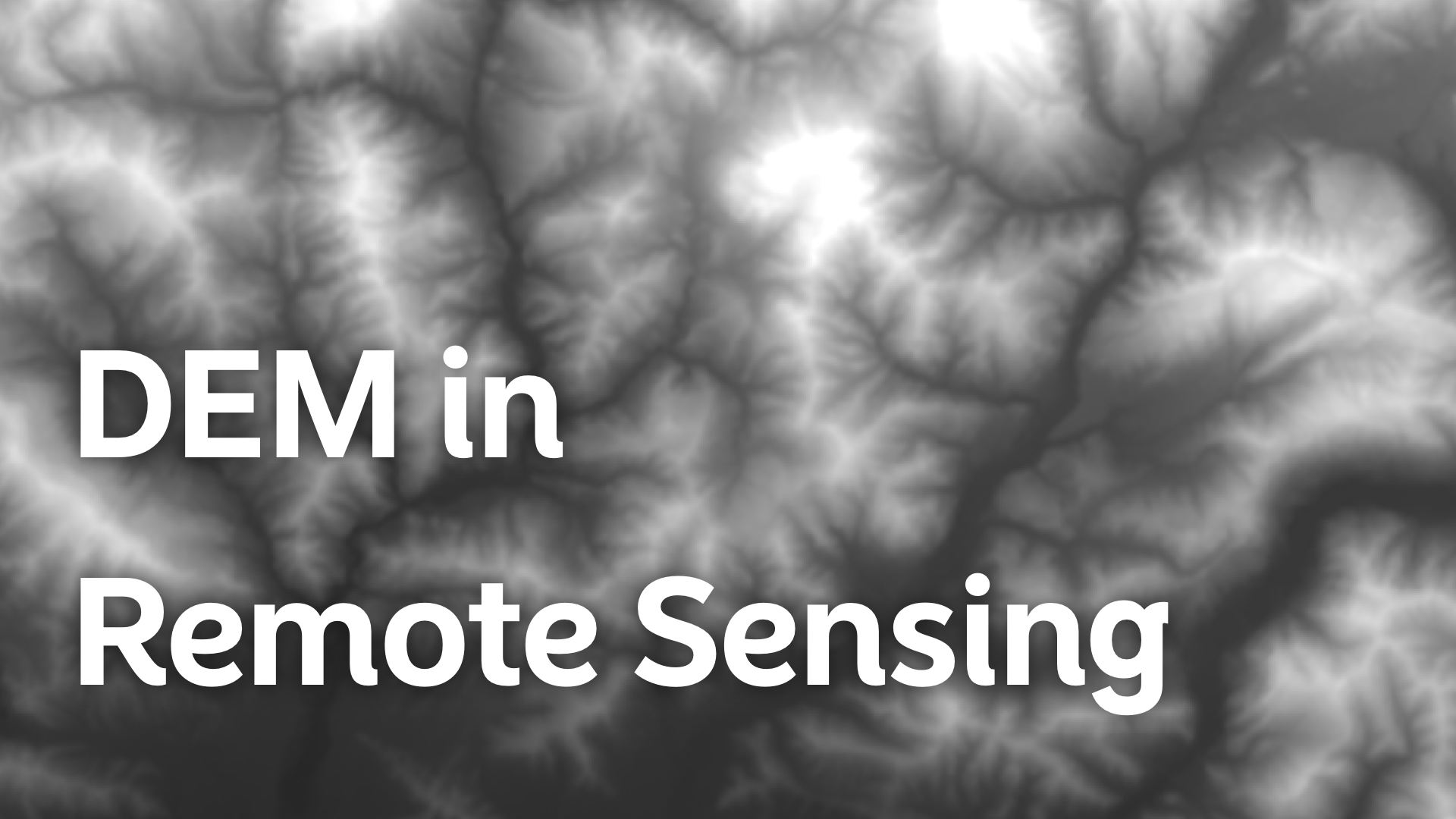
Digital Elevation Models (DEMs) play a crucial role in remote sensing. They provide a detailed representation of the Earth's surface, helping in various applications like terrain analysis, flood modeling, and 3D visualization.
Understanding DEMs is essential for anyone working in fields related to geospatial data, environmental monitoring, or land management.
What is a DEM?
A Digital Elevation Model (DEM) is a 3D representation of a terrain's surface. It shows the elevation of the ground at various points across a landscape. The elevation data in a DEM is usually represented as a grid of squares, where each square (or pixel) has a specific height value.
DEM data can be collected through various methods, including satellite imagery, aerial surveys, and LiDAR (Light Detection and Ranging) technology.
Types of DEMs
DEMs come in two main types:
-
DTM (Digital Terrain Model): A DTM represents the bare ground surface without any objects like buildings or trees. It’s ideal for analyzing the natural terrain, such as in flood modeling or geological studies.
-
DSM (Digital Surface Model): A DSM includes all surface features, such as buildings, vegetation, and other structures. This model is useful in urban planning, forestry, and telecommunications.
How DEMs are Created
Creating a DEM involves several steps, depending on the technology used:
Satellite Imagery
Satellites equipped with sensors capture images of the Earth's surface. These images are then processed to extract elevation data. This method is widely used for generating large-scale DEMs, such as those covering entire countries or continents.
Aerial Photogrammetry
This method uses images taken from aircraft. By capturing images from different angles, it's possible to create a 3D model of the terrain. Photogrammetry is effective for producing high-resolution DEMs over smaller areas.
LiDAR
LiDAR is a remote sensing technology that uses laser pulses to measure distances. It can capture very accurate elevation data, even in areas with dense vegetation. LiDAR is often used for creating DTMs since it can penetrate through forest canopies to measure the ground surface.
Radar
Synthetic Aperture Radar (SAR) is another technology used in creating DEMs. It can capture elevation data even in cloudy or dark conditions, making it useful for areas where optical methods might fail.
Applications of DEM in Remote Sensing
DEMs have a wide range of applications in remote sensing. Here are some key areas where DEMs are essential:
Terrain Analysis
DEM is the backbone of terrain analysis. It allows for the study of landforms, slopes, and other terrain features. Planners and geologists use this data to assess land suitability, identify potential landslide zones, or plan construction projects.
Flood Modeling
In flood modeling, DEMs are used to simulate water flow across the terrain. This helps predict flood-prone areas, plan evacuation routes, and design flood defenses. The accuracy of a DEM directly impacts the reliability of flood models.
3D Visualization
3D models of landscapes are created using DEMs. These models are used in various fields, from video game development to urban planning. In remote sensing, 3D visualization helps in understanding the terrain and planning field operations.
Environmental Monitoring
DEMs help in monitoring environmental changes, such as soil erosion or glacier movements. By comparing DEMs over time, it's possible to detect changes in the landscape, which is crucial for environmental conservation efforts.
Urban Planning
In urban planning, DSMs are used to analyze the built environment. Planners use this data to assess the impact of new constructions, optimize the placement of communication towers, and design efficient drainage systems.
Agriculture
In precision agriculture, DEMs assist in managing irrigation and assessing soil conditions. Farmers can use elevation data to optimize water usage, reduce erosion, and improve crop yields.
Challenges in Using DEMs
While DEMs are incredibly useful, they come with challenges:
Accuracy
The accuracy of a DEM depends on the resolution and the method used to create it. Low-resolution DEMs might miss important terrain features, leading to errors in analysis.
Data Volume
DEMs, especially high-resolution ones, generate large amounts of data. Managing, storing, and processing this data can be challenging, requiring robust computing resources.
Vegetation and Structures
In DSMs, features like trees and buildings can obscure the underlying terrain. This can complicate tasks like flood modeling or geological surveys, where the bare earth surface is needed.
Cost
Acquiring high-quality DEMs can be expensive, especially if the area of interest is large or requires high-resolution data. Technologies like LiDAR, while precise, can also be costly.
Integrating DEMs with Atlas
Working with DEMs has become even more accessible with tools like Atlas, a browser-based GIS platform. Atlas allows users to directly add DEMs to their maps, integrating elevation data seamlessly into their geospatial analysis.
How It Works
Atlas’ DEM integration feature is straightforward. Users can import DEM files directly into their projects. This can further be used for creating contour lines or performing terrain analysis.
Benefits of Using Atlas for DEMs
-
Ease of Use: Atlas simplifies the process of working with DEMs. Users don’t need specialized software or advanced technical skills. The integration is designed to be user-friendly, with intuitive tools for visualizing and analyzing elevation data.
-
Real-Time Analysis: With Atlas, you can overlay DEMs with other data layers, such as satellite imagery or vector data, allowing for real-time terrain analysis. This is particularly useful in scenarios like flood modeling or land-use planning, where quick decisions are crucial.
-
Customization: Atlas offers various options for customizing how DEM data is displayed. Users can adjust the color schemes, contour lines, and shading to highlight specific terrain features, making the analysis more effective.
-
Collaboration: Atlas enables collaborative work by allowing multiple users to view and edit the same map project. This makes it easier for teams to work together on projects involving DEMs, sharing insights and updates in real-time.


