Collaboration is at the heart of modern GIS projects. Teams across industries need tools that allow seamless sharing, real-time updates, and easy access to geospatial data. Two popular GIS platforms—Atlas and QGIS—approach collaboration very differently.
This article compares their collaboration features to help you decide which tool best fits your team’s needs.
Overview of Atlas and QGIS Collaboration
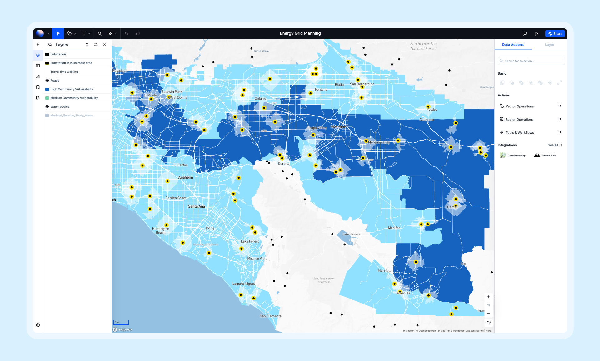
Atlas is a browser-based GIS platform designed with teamwork in mind. It focuses on making map collaboration intuitive and accessible for everyone, regardless of technical expertise.

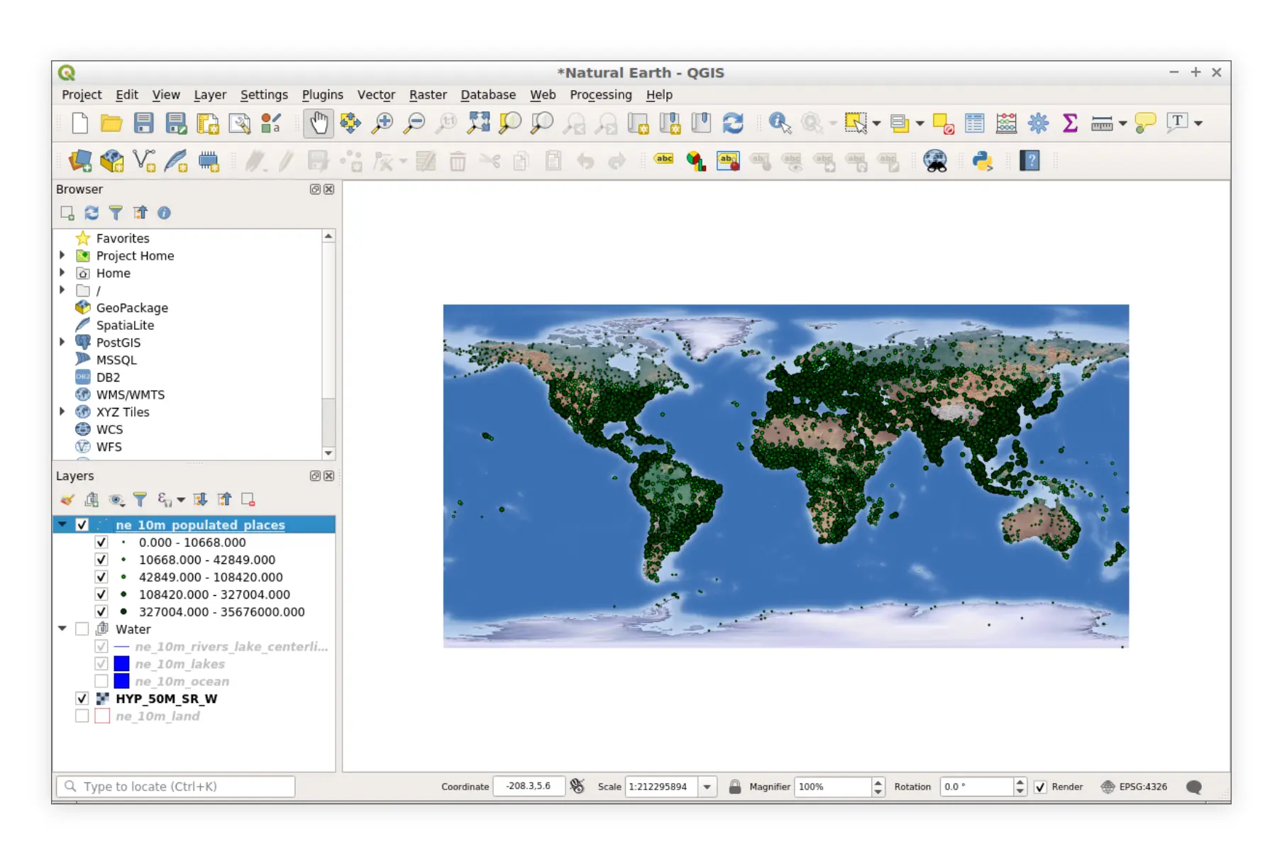
QGIS is a powerful desktop GIS application with advanced features. While it excels in geospatial analysis, its collaboration options are more traditional, relying on file sharing and external tools.

Quick Comparison: Atlas vs. QGIS for Collaboration
| Feature | Atlas | QGIS |
|---|---|---|
| Real-Time Collaboration | Yes, live updates for all users | No, requires manual file sharing |
| Sharing Options | Links, embeddable maps, cloud-based | Export-based, static files |
| Accessibility | Browser-based, works on any device | Desktop-only, requires installation |
| Team Size Suitability | Scales for large, diverse teams | Best for small, technical teams |
Real-Time Collaboration
Atlas: Real-Time Edits
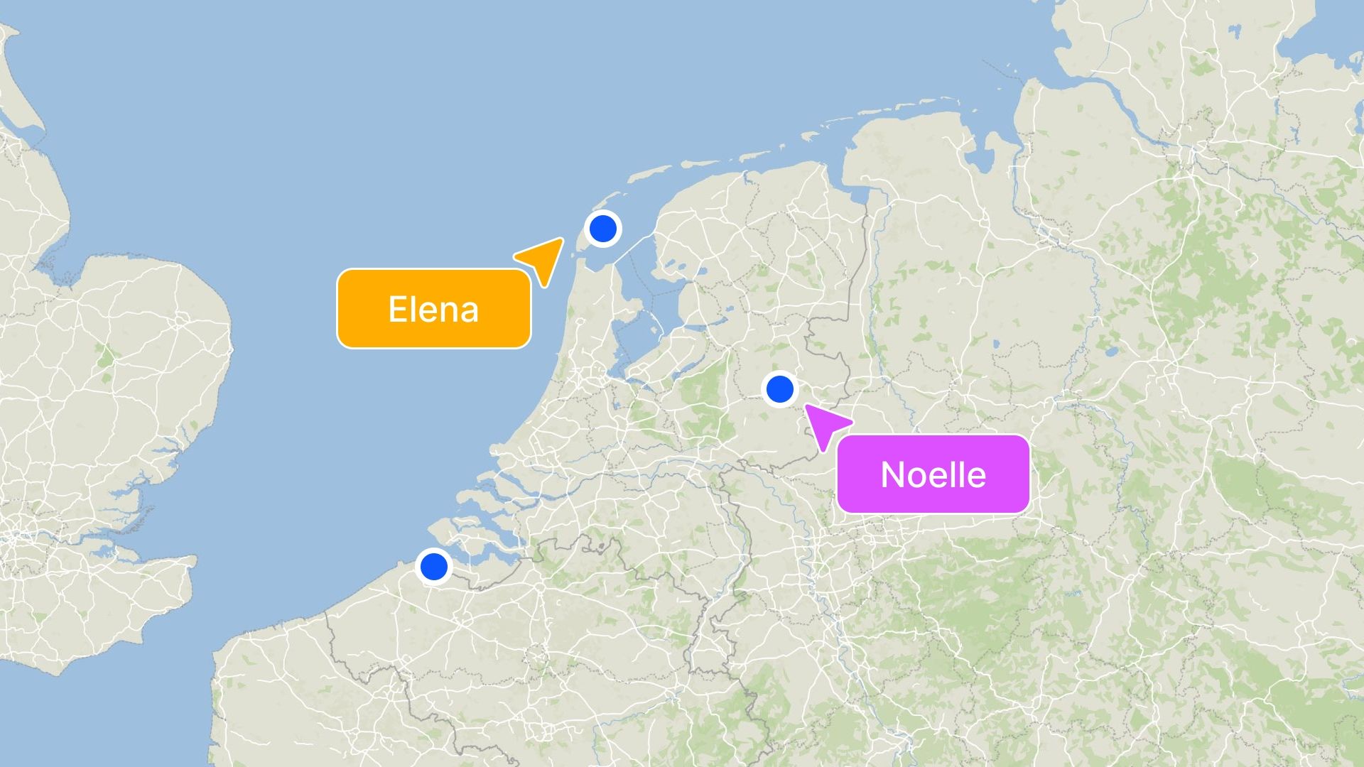
Atlas is built for real-time collaboration. Teams can work on the same map simultaneously, making edits and seeing changes instantly. This reduces the back-and-forth often required in traditional workflows.
Features that enhance collaboration:
- Live updates: Any change made by a collaborator is visible to all team members immediately.
- Cloud-based sharing: Maps are stored in the cloud, ensuring everyone works with the latest version.
- Permissions management: Easily control who can view, edit, or comment on maps.
QGIS: Static File Sharing
QGIS lacks native real-time collaboration features. Teams often rely on sharing files via email or cloud storage services. This method can lead to version control issues and slower workflows.
Common challenges:
- Multiple file versions: It’s easy to lose track of the latest file.
- Manual merging: Team members must combine changes from different files, increasing the risk of errors.
- Dependency on external tools: Collaboration relies on platforms like Dropbox or Google Drive.
Which Is Better?
Atlas clearly leads in real-time collaboration. If your team needs instant updates and streamlined workflows, Atlas is the better choice.
Accessibility for Teams
Atlas: Browser-Based Convenience
Atlas’s browser-based nature means no downloads or installations are required. Team members can access and collaborate on maps from any device with an internet connection.
Benefits for teams:
- Cross-platform compatibility: Works on desktops, laptops, tablets, and smartphones.
- Easy onboarding: New users can start collaborating with minimal setup.
- Always updated: Since it’s cloud-based, users always have access to the latest features.
QGIS: Desktop Dependency
QGIS is a desktop application, which means every team member must download and install the software. This can be a barrier for non-technical users or teams working across different operating systems.
Limitations:
- Platform-specific: Not all operating systems are fully supported.
- Higher learning curve: New users may need training before contributing effectively.
- Collaboration depends on installations: Each team member must have the correct version of QGIS installed.
Which Is Better?
For accessibility, Atlas is more user-friendly and team-oriented, particularly for diverse or remote teams.
Sharing Maps
Atlas: Simple and Seamless
Sharing maps in Atlas is straightforward. Users can generate shareable links or embed maps directly into websites or dashboards. Permissions can be adjusted to ensure the right people have access.
Key sharing features:
- Link-based sharing: Share maps with a single URL.
- Embeddable maps: Integrate maps into other platforms effortlessly.
- Public or private options: Choose whether maps are visible to everyone or restricted to specific users.
QGIS: Export-Based Sharing
QGIS relies on exporting maps in formats like PDF, PNG, or GeoJSON for sharing. While this allows for high-quality outputs, it’s less dynamic and interactive.
Challenges:
- Static maps: Shared files are not interactive.
- Multiple exports: Any updates require re-exporting and resending files.
- Limited embed options: Embedding maps in websites is more complex.
Which Is Better?
For ease of sharing and interactivity, Atlas outperforms QGIS.
Collaboration on Large Teams
Atlas: Scales Effortlessly
Atlas’s cloud infrastructure supports teams of all sizes. Whether you’re a small group or a large organization, Atlas scales to meet your needs.
Advantages for large teams:
- Centralized maps: Everyone accesses the same project in real time.
- No version conflicts: Cloud storage eliminates duplicate files.
- Role management: Assign specific permissions to team members.
QGIS: Better for Small, Technical Teams
QGIS works best for smaller teams with technical expertise. Larger teams might struggle with file management and version control, especially in distributed setups.
Challenges for large teams:
- File conflicts: Multiple collaborators can create overlapping versions.
- Dependency on GIS expertise: Non-technical users may struggle to contribute effectively.
- Manual workflows: Larger teams require extra coordination to avoid missteps.
Which Is Better?
Atlas scales better for large and diverse teams, while QGIS is suitable for smaller, technically skilled groups.
Cost of Collaboration
Atlas: Freemium Model
Atlas offers a free tier with robust collaboration tools, making it accessible to small teams and individual users. Paid plans unlock advanced features but aren’t necessary for basic collaboration.
QGIS: Open Source
QGIS is completely free, which makes it a cost-effective choice for those who don’t need advanced collaboration features. However, the lack of real-time tools may lead to hidden costs in terms of time and productivity.
Which Is Better?
If real-time collaboration is essential, Atlas’s freemium model is worth considering. For cost-conscious teams that don’t need these features, QGIS offers a no-cost alternative.
Final Thoughts: Which Tool Is Better for Collaboration?
Atlas is the clear winner for teams prioritizing collaboration. Its real-time editing, seamless sharing, and browser-based accessibility make it a game-changer for collaborative mapping projects.
QGIS, while a powerful GIS tool, is better suited for individual users or small teams who don’t rely heavily on collaboration features.
For teams aiming to streamline their workflows and enhance collaboration, Atlas is the way to go. Try it out and see how it can transform your GIS projects.


