When starting with GIS (Geographic Information Systems), ease of use is crucial. A beginner-friendly tool can make the difference between a smooth learning curve and overwhelming frustration. Two popular GIS platforms, Atlas and QGIS, are often compared for their usability. Both are powerful, but which one is easier for beginners?
Let’s break it down.
Overview of Atlas and QGIS
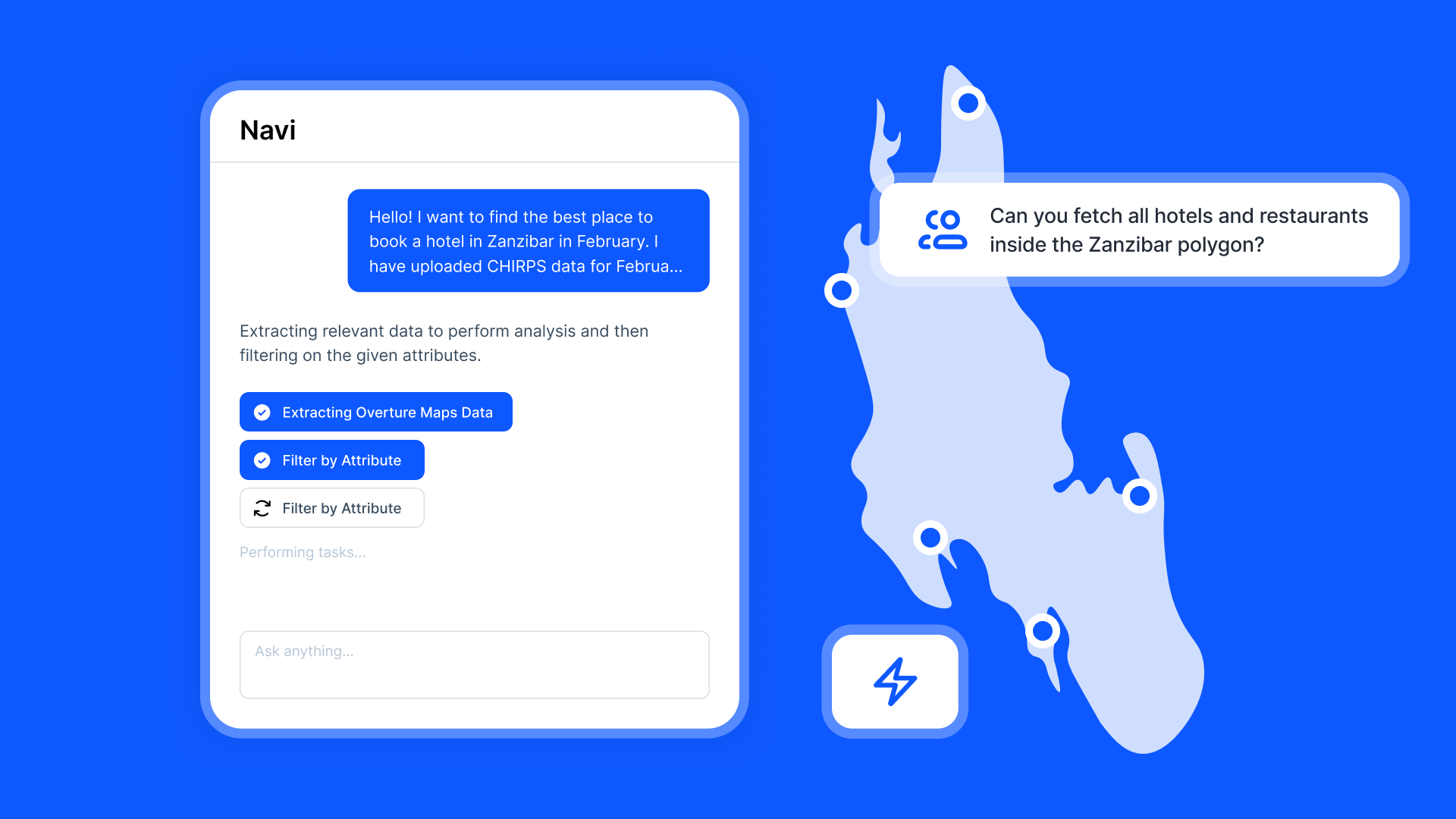
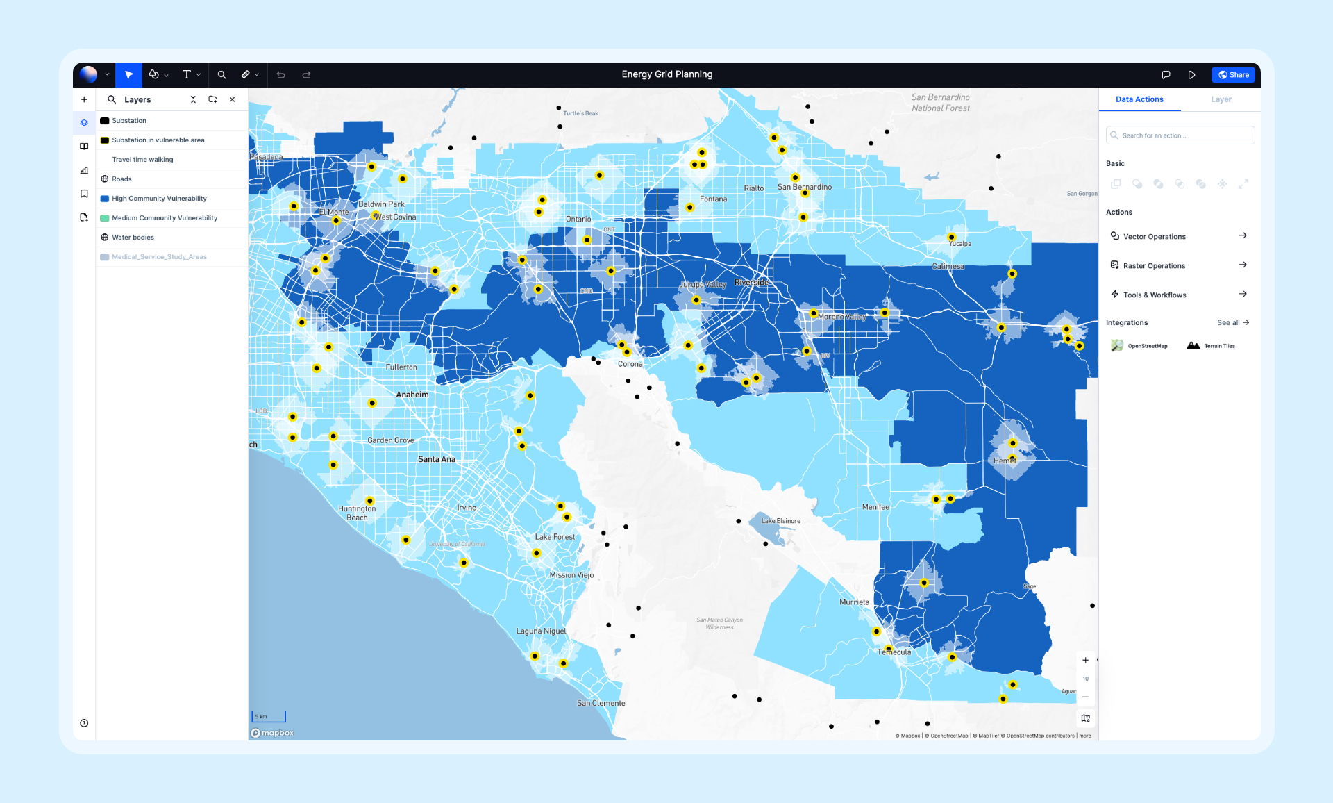
Atlas is a browser-based GIS platform designed with simplicity and collaboration in mind. It runs directly in your web browser, requiring no installations. Its intuitive interface caters to users with little or no prior GIS experience.
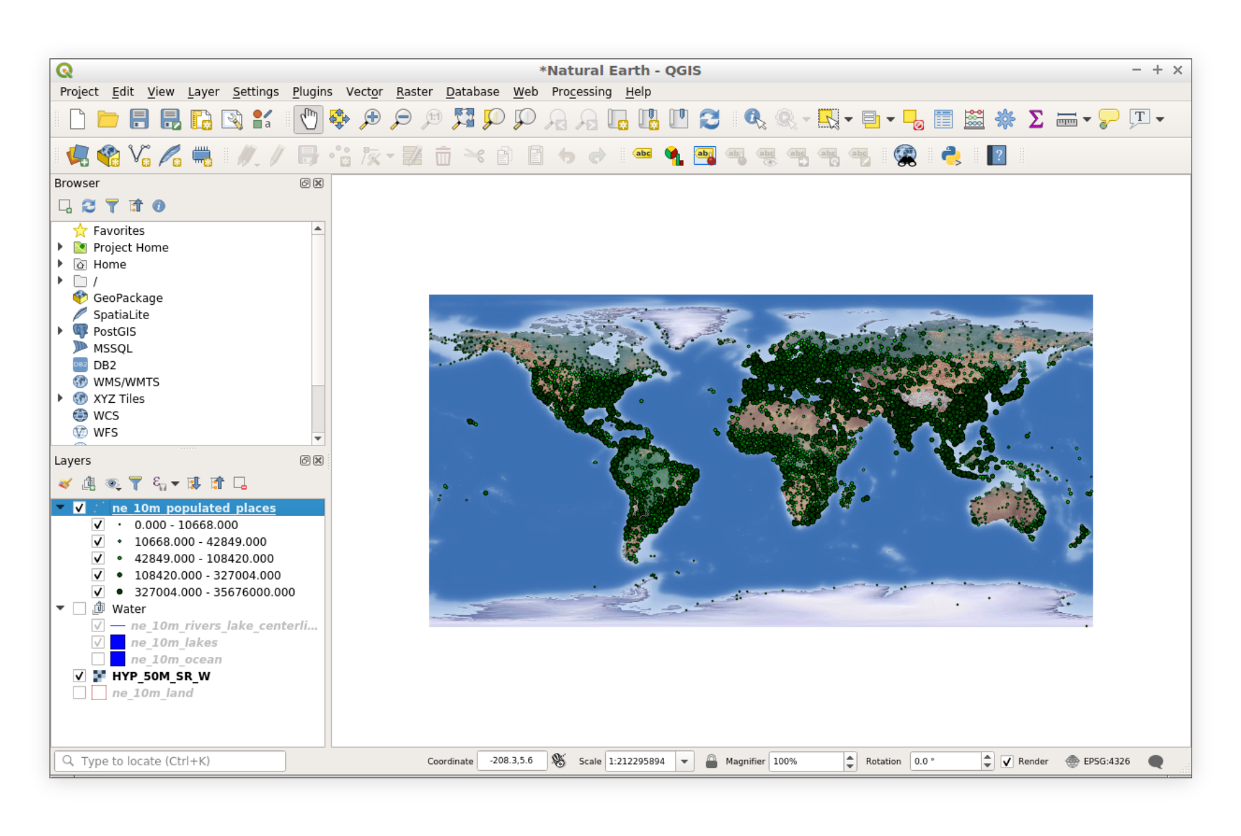
QGIS is a free, open-source desktop GIS application. It is highly regarded for its robust feature set and flexibility. However, its desktop-based nature and expansive toolset can feel intimidating to newcomers.
Comparison Table: Atlas vs. QGIS
| Feature | Atlas | QGIS |
|---|---|---|
| Setup | Browser-based, no installation required | Requires software download and install |
| Ease of Use | Intuitive, clean interface | Feature-rich but can feel overwhelming |
| Learning Curve | Quick to learn, minimal training needed | Steeper learning curve, abundant resources |
| Collaboration | Real-time collaboration, easy sharing | Manual sharing via exported files |
| Cost | Freemium (free with optional paid plans) | Completely free (open-source) |
| Advanced Features | Gradual progression into advanced tools | Advanced tools available from the start |
| Accessibility | Works on any device with a browser | Requires compatible desktop OS |
Setup and Accessibility
Atlas: Instant Access
Atlas operates entirely in the browser. There’s no need to download or install anything. To get started, you simply log in and start working. This convenience is a big win for beginners who might find software installations daunting.
QGIS: Desktop Installation
QGIS requires downloading and installing the software on your computer. While the process is straightforward for experienced users, it can be a stumbling block for those unfamiliar with managing software installations.
Which Should You Use?
If you want to get started quickly without worrying about installations, Atlas is the better choice.
User Interface and Experience
Atlas: Simple and Clean
Atlas prioritizes simplicity. The interface is clean, with clear labels and intuitive navigation. Beginners can quickly figure out how to upload data, create maps, and collaborate in real-time.
Key beginner-friendly features:
- Drag-and-drop functionality for uploading data.
- Pre-configured styles and templates for quick map creation.
- Guided walkthroughs for new users.
QGIS: Feature-Rich but Overwhelming
QGIS offers a robust set of tools for advanced GIS tasks. However, its feature-rich interface can feel cluttered to beginners. While powerful, the toolbars, menus, and settings require time to learn.
Key challenges for beginners:
- Complex terminology and multiple tools for similar tasks.
- Limited guidance for first-time users.
Which Should You Use?
If simplicity and ease of navigation matter most, Atlas will suit you better.
Learning Curve
Atlas: Easy Start, Minimal Training
Atlas is designed for non-GIS professionals. Its simplified approach minimizes the learning curve. Most users can create functional maps within their first session, even without prior GIS experience.
Training resources:
- Interactive tutorials available directly on the platform.
- Documentation that focuses on common beginner questions.
- No technical knowledge required to get started.
QGIS: Steeper Curve, Abundant Resources
QGIS has a steeper learning curve. While the platform offers comprehensive tutorials and community support, new users often spend significant time learning the basics before producing maps.
Training resources:
- Extensive community forums and tutorials.
- More advanced users may require formal training.
Which Should You Use?
For a faster start, Atlas is ideal. If you're prepared for a deeper dive, QGIS may offer more advanced learning opportunities.
Collaboration and Sharing
Atlas: Built for Collaboration
Atlas shines in collaborative environments. Teams can work on the same map in real time, making edits and viewing updates instantly. Sharing maps is simple via links, and no special software is required to view them.
QGIS: Manual Sharing
While QGIS supports powerful GIS workflows, it lacks native collaboration features. Sharing maps often involves exporting files and emailing them. This manual process can be cumbersome for beginners.
Which Should You Use?
If collaboration is key, Atlas is the better option.
Cost of Entry
Atlas: Freemium Model
Atlas offers a free plan with essential features for beginners. Paid plans unlock advanced tools, but most beginners will find the free tier sufficient.
QGIS: Completely Free
As an open-source tool, QGIS is free for all users. This makes it a great option for those who need advanced features without a budget.
Which Should You Use?
If you’re looking for completely free software, QGIS is the best choice. Atlas’s free tier is excellent, but some advanced features require payment.
Advanced Features for Growth
Atlas: Scales with Your Needs
Atlas allows beginners to grow into more advanced GIS tasks without needing to switch platforms. Features like data analysis, custom styles, and interactive maps are easy to pick up once users are comfortable with the basics.
QGIS: Advanced from the Start
QGIS’s advanced capabilities are available from day one, but this also makes the tool feel overwhelming. Beginners might struggle to identify which tools to use and how to use them effectively.
Which Should You Use?
If you want a gradual introduction to advanced features, Atlas is better. QGIS works well if you’re ready to dive into complex tasks immediately.
The Bottom Line: Which is Easier for Beginners?
Atlas is the better choice for beginners. Its browser-based setup, intuitive interface, and collaborative features make it a breeze to use. Beginners can focus on learning GIS concepts without being bogged down by technical details.
QGIS, on the other hand, is ideal for users who are willing to invest time in learning and need advanced features from the start.
For those just starting out, Atlas offers the simplest path to creating, sharing, and collaborating on maps. Once you’re ready to dive deeper into GIS, QGIS could be the next step.
So, if you’re looking to take your first steps into GIS, try Atlas today. It’s quick, easy, and built with beginners in mind.

