Choosing the right Geographic Information System (GIS) platform can be overwhelming. With many options on the market, each offering unique features, it's crucial to understand how they compare. This article dives into a comparison between Atlas, a modern browser-based GIS platform, and gvSIG, a traditional open-source desktop GIS solution.
What is Atlas?
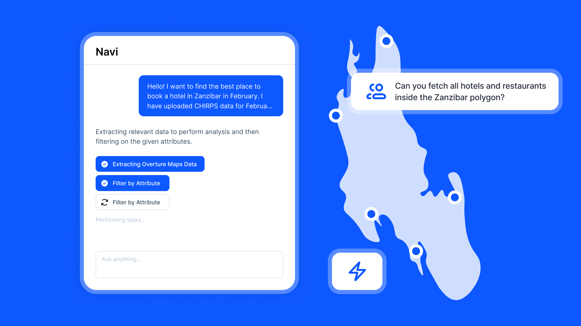
Atlas is a browser-based GIS platform designed for simplicity and collaboration. It focuses on making mapping and geospatial analysis accessible to users of all skill levels. With Atlas, you can create, edit, and share interactive maps directly from your browser, with no downloads or installations required.
Key Features of Atlas:
- Real-Time Collaboration: Teams can work together on the same map simultaneously.
- No Coding Required: Atlas enables users to build custom map applications without technical expertise.
- Scalability: Suitable for small teams to large organizations with flexible, cloud-based architecture.
- User-Friendly Interface: Simplifies GIS for non-experts.
- Interactive Maps: Easily share interactive maps via web links or embed them on websites.
What is gvSIG?
gvSIG is a powerful desktop-based open-source GIS tool popular for its extensive range of spatial analysis capabilities. It is widely used in urban planning, environmental management, and other fields requiring detailed geospatial analysis.
Key Features of gvSIG:
- Advanced GIS Tools: Offers robust tools for spatial analysis, geoprocessing, and 3D visualization.
- Customizable: Supports plugins and extensions for specific needs.
- Offline Access: As a desktop software, it doesn’t rely on internet connectivity.
- Open Source: Completely free and backed by an active community.
Comparing Atlas and gvSIG
Accessibility
- Atlas: Being browser-based, Atlas is accessible from any device with internet access. There's no need for installation, making it ideal for users working remotely or on the go.
- gvSIG: Requires installation on a computer. While powerful, it’s less flexible for users needing to collaborate or switch devices.
Collaboration
- Atlas: Built for collaboration, Atlas allows multiple users to work on maps simultaneously, with real-time updates visible to everyone.
- gvSIG: Collaboration is limited to sharing files manually, often leading to version control issues.
Ease of Use
- Atlas: Designed with a simple interface that minimizes the learning curve, even for beginners.
- gvSIG: Offers extensive tools but with a steeper learning curve, making it more suited for experienced GIS users.
Features
- Atlas: Excels in creating interactive, web-ready maps and providing tools like drag-and-drop application building without coding.
- gvSIG: Offers advanced geoprocessing and data analysis capabilities that are essential for technical users.
Cost
- Atlas: Provides free and paid plans, allowing teams to scale as needed.
- gvSIG: Completely free as an open-source platform.
Use Cases
- Atlas: Ideal for collaborative projects, rapid map creation, and real-time data sharing. Common use cases include urban planning, public health mapping, and logistics.
- gvSIG: Suited for technical GIS tasks like complex spatial analysis, 3D modeling, and in-depth environmental studies.
Which Should You Choose?
-
Choose Atlas if:
- You need an easy-to-use, browser-based solution.
- Collaboration and real-time updates are a priority.
- You want to create interactive maps without coding.
- Your team values flexibility and scalability.
-
Choose gvSIG if:
- You require advanced GIS analysis tools.
- Offline capabilities are essential.
- You prefer an open-source solution with no licensing costs.
- You’re comfortable with a more technical interface.
Both Atlas and gvSIG cater to different needs. If simplicity and collaboration are your priorities, Atlas is the way to go. For advanced geospatial tasks and offline functionality, gvSIG stands out.
Start with the platform that best aligns with your workflow, and unlock the potential of geospatial data to make informed decisions.


