Local governments often rely on Geographic Information Systems (GIS) to manage spatial data, conduct analyses, and visualize complex datasets effectively.
While ArcGIS by Esri is a leading GIS platform, its sophisticated features, and significant cost may not align with every local government's needs, especially those working with tight budgets.
Fortunately, there are numerous alternatives that can effectively serve the unique requirements of municipal operations.
Let's explore these GIS alternatives and see what they have to offer.
Why Consider Alternatives?
Local government operations require GIS tools that are easy to implement, cost-effective, and versatile. The reasons to explore ArcGIS alternatives include:
- Cost-Effectiveness: GIS software can be expensive, and local governments need affordable solutions without compromising on essential functionalities.
- Ease of Use: Not every department has GIS specialists, so user-friendly software is crucial.
- Scalability: Smaller municipalities might require less complex systems that can scale as their needs grow.
- Open Source Options: Many local governments are turning to open-source solutions that offer flexibility and community support.
Popular ArcGIS Alternatives
1. Atlas
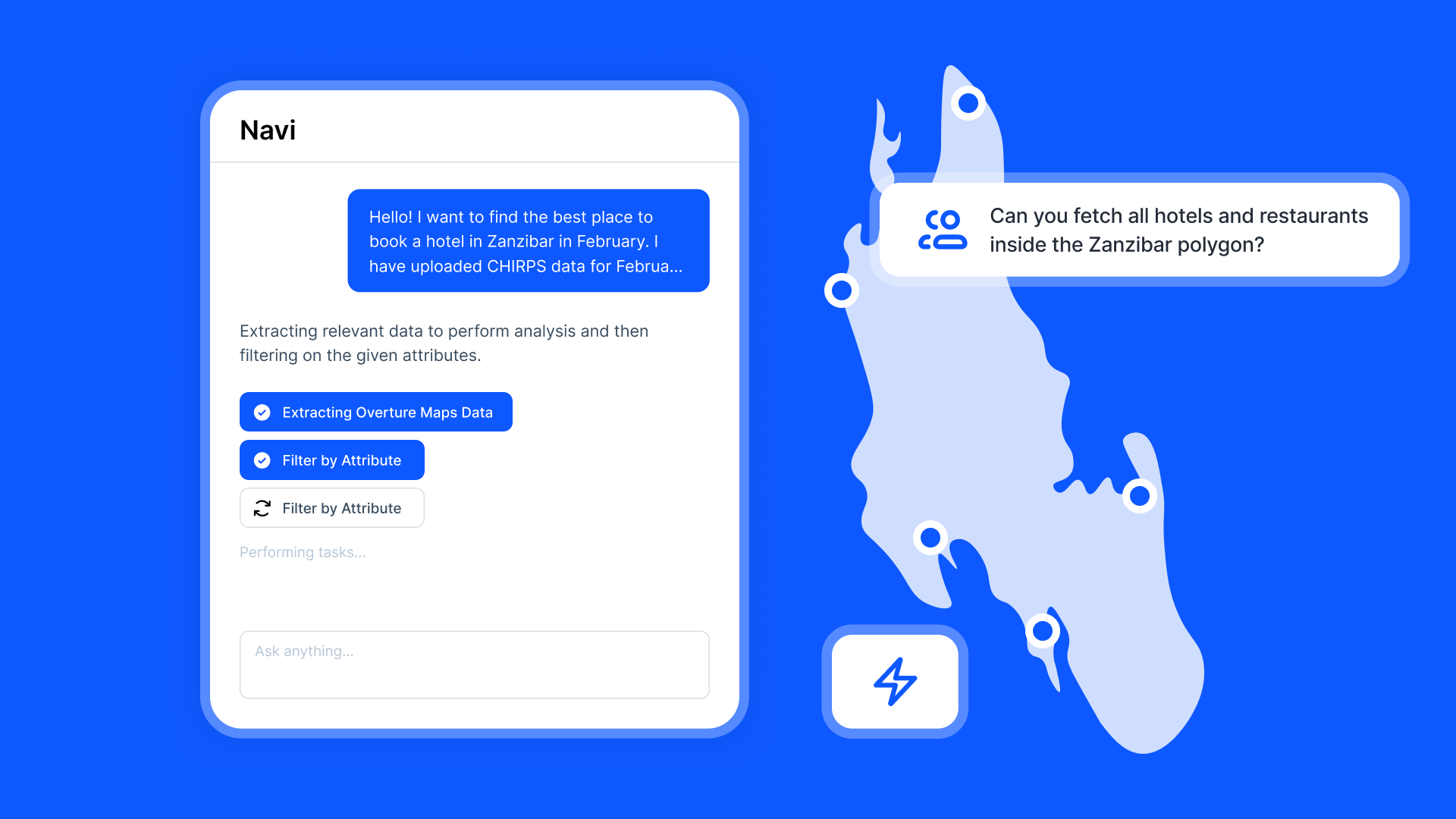
Atlas stands out as a browser-based GIS platform that offers ease of use without compromising on power. It provides tools for real-time collaboration, making map creation and data visualization straightforward.
- Features: Data visualization, automations, analysis, and data collection forms.
- Pros: Collaborative, freemium, easy to learn, cloud-native and easy to share.
- Cons: Don't have all features compared to the complex tools like QGIS.
2. QGIS
QGIS (Quantum GIS) is arguably the most popular open-source GIS alternative available today. It is feature-rich and supports advanced mapping and spatial analysis, which makes it suitable for municipal needs ranging from urban planning to environmental monitoring.
- Features: Data visualization, editing, analysis, and map composition.
- Pros: Highly extensible with plugins, active community support.
- Cons: Steeper learning curve for beginners.
3. Mapbox
Mapbox is excellent for creating custom, interactive maps. It caters well to local government needs for public-facing applications, thanks to its scalability and unique visual design capabilities.
- Features: Interactive features, custom map styling.
- Pros: Developer-friendly, extensive customization options.
- Cons: Requires some technical skill to make full use of its capabilities.
4. Google Earth Pro
Google Earth Pro offers powerful visualization capabilities and is available for free. It's great for projects that require high-resolution satellite imagery and 3D terrain views.
- Features: High-resolution imagery, importing/exporting GIS data.
- Pros: User-friendly, globally recognized.
- Cons: Limited analytical capabilities when compared with dedicated GIS software.
5. gvSIG
gvSIG provides a user-friendly interface and is noted for handling a broad spectrum of geographic data formats. It's often used where interoperability with various systems is important.
- Features: 3D visualization, network analysis.
- Pros: Supports a wide range of formats, focuses on interoperability.
- Cons: Smaller user community than some other GIS software.
Use Cases in Local Government
Urban Planning
Local governments can use GIS for urban planning to visualize zoning laws, analyze infrastructure prerequisites, and predict growth trends. QGIS, with its advanced data analysis tools, allows planners to evaluate various scenarios effectively.
Environmental Monitoring
GRASS GIS is particularly useful for environmental monitoring, as it can handle complex spatial data and modeling required to track and analyze ecosystems, pollution sources, or land-use changes.
Public Works Management
Managing municipal assets such as roads, water systems, and public facilities is another area where GIS is invaluable. Mapbox aids in creating accessible, interactive maps for managing public infrastructure efficiently.
Emergency Management
GIS tools are crucial for disaster response and emergency management by helping coordinate relief efforts, predict the impact of natural disasters, and manage logistics. Tools like Google Earth Pro allow for quick visualization of affected areas using satellite imagery.
Benefits of Choosing the Right GIS Tool
When selecting a GIS tool, local governments benefit from:
- Increased Efficiency: Automating data management and visualization saves time and reduces errors.
- Improved Decision Making: GIS analysis provides insights that enhance strategic planning.
- Community Engagement: Interactive maps can help communicate plans and initiatives to the public, fostering transparency and engagement.
Choosing the right GIS tool for local government operations is critical for maximizing efficiency and effectiveness. Whether it's an open-source powerhouse like QGIS or a versatile tool like Mapbox, there's a platform available that can suit the unique needs of municipalities and their varied tasks. With technology advancing, local governments are in a prime position to leverage powerful GIS tools to better serve their communities.
How Atlas Can Help Local Governments
Atlas is a powerful, browser-based GIS platform that offers unique benefits for local governments seeking effective management of spatial data. It provides a modern alternative to traditional GIS software, focusing on ease of use and accessibility. Here's how Atlas can make a difference:
User-Friendly Interface
Local governments often require tools that are easy to use, especially for departments where dedicated GIS specialists may not be available. Atlas excels in this area by offering a straightforward, intuitive interface designed for quick adoption by users of varying technical expertise.
Cost-Effective Solution
Budget constraints are a significant challenge for many municipalities. Atlas addresses this by providing a generous free plan, allowing local governments to access essential GIS functionalities without a heavy financial burden.
Real-Time Collaboration
Atlas promotes seamless collaboration among team members, which is crucial for local governments where multi-department cooperation is often necessary. Its cloud-based design facilitates real-time data access and edits, ensuring everyone is working with the most current information.
Versatility and Customization
Atlas supports a wide variety of data formats and allows for extensive customization of map visuals. This flexibility enables governments to tailor maps to their specific needs, whether for public presentations or internal planning.
Accessibility and Integration
One of Atlas's significant strengths is its accessibility; there’s no need for software installation. It also integrates effortlessly with existing systems, ensuring that municipalities can easily incorporate it into their current workflows.
Use Cases for Local Government
Local governments can leverage Atlas for various critical areas such as:
- Urban Planning: Create detailed maps that aid in evaluating zoning changes and infrastructure developments.
- Emergency Management: Utilize Atlas's real-time capabilities to coordinate disaster response efforts and visualize impact zones.
- Public Communication: Develop accessible maps that effectively communicate plans and developments to the community, enhancing public engagement and participation.
Harnessing the Power of GIS with Atlas
Atlas stands out as a valuable GIS tool for local governments aiming to optimize their spatial data management without the complexity and cost often associated with traditional systems. By focusing on collaboration, accessibility, and user-friendliness, Atlas empowers municipalities to improve decision-making and service delivery efficiently. Whether it's for urban planning, emergency management, or community engagement, Atlas provides the means to transform data into actionable insights and impactful visualizations.


