In an emergency, a well-prepared contingency plan map can save lives.
Contingency plan maps provide a clear and accessible visual guide to essential resources, evacuation routes, and safe zones, helping municipalities manage crises effectively.
What is a Contingency Plan?
A contingency plan is a proactive strategy that helps organizations and municipalities respond effectively to emergencies. It includes risk assessment, emergency procedures, resource allocation, and recovery strategies to ensure minimal disruption and quick restoration of operations.
Key elements involve identifying risks, defining actions, establishing communication protocols, and training personnel. Regular updates and drills keep the plan effective and relevant.
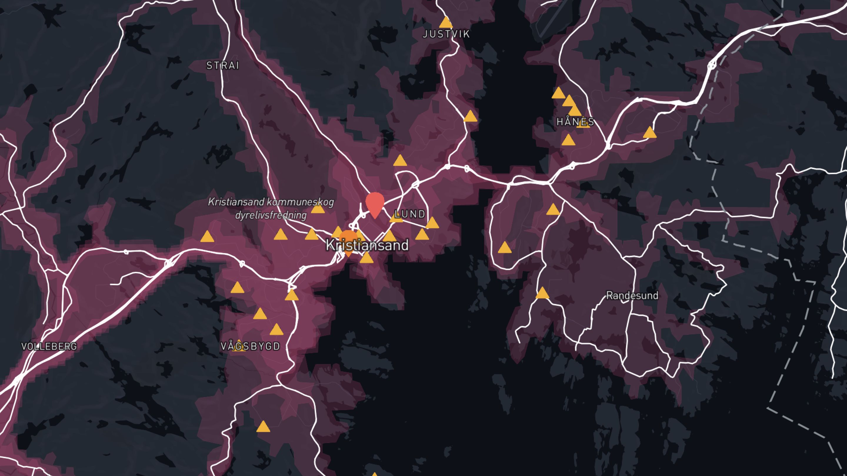
A vital part of this strategy is the contingency plan map, which visually represents critical resources, evacuation routes, and safe zones.
This map helps quickly locate shelters, infrastructure, and resource points during crises. It’s designed for clarity and accessibility, making it easy for all community members to use, including those with disabilities.
Regular updates ensure the map remains a reliable tool for emergency preparedness and response.
Below are key guidelines for creating an effective contingency plan map.
1. Understand Your Community's Needs
Community-Specific Risks: Identify and analyze the specific risks your community faces, such as floods, wildfires, earthquakes, or industrial accidents. Understanding these risks will help you prioritize what to include on your contingency plan map.
Demographic Considerations: Consider the diverse needs of your community, including age, disability, and language differences. Ensure the map addresses these needs by providing accessible and easy-to-understand information.
2. Collect Accurate and Comprehensive Data
Reliable Sources: Use data from reliable sources such as government databases, local emergency management agencies, and community organizations. Ensure the data is current and accurate.
Comprehensive Information: Gather comprehensive information about emergency shelters, evacuation routes, critical infrastructure, and resource distribution points. Include details such as capacity, accessibility, and contact information.
3. Prioritize Clarity and Simplicity
Clear Visualization: Use clear symbols, icons, and colors to represent different types of information. Avoid cluttering the map with too much detail, which can overwhelm users during an emergency.
Readable Labels: Ensure labels are easily readable, with sufficient contrast between text and background. Use large, legible fonts and avoid using jargon or technical terms.
4. Ensure Accessibility
Universal Design: Design the map to be accessible to all community members, including those with disabilities. Use high-contrast colors, large fonts, and simple graphics to improve readability.
Interactive: Provide the map in an interactive version, making it easy to navigate the area.
5. Highlight Key Information
Emergency Shelters: Clearly mark the locations of all emergency shelters, along with details such as capacity, facilities, and accessibility features. Highlight shelters that can accommodate pets, special needs, or specific populations.
Evacuation Routes: Indicate primary and secondary evacuation routes, including major roads, highways, and alternative paths. Highlight safe zones and meeting points along these routes.
Critical Infrastructure: Show the locations of critical infrastructure such as hospitals, police stations, fire stations, and utility services. Include contact information and operational status if available.
Resource Distribution Points: Mark the locations of resource distribution points for food, water, medical supplies, and other essentials. Provide details on what resources are available at each point.
6. Use Real-Time Data and Updates
Dynamic Maps: Utilize GIS technology to create dynamic maps that can be updated in real-time. This ensures that the map remains accurate and relevant during an emergency.
Regular Updates: Establish a protocol for regular updates to the map, incorporating new data, changes in infrastructure, and feedback from the community. Ensure that updates are communicated promptly to all users.
7. Engage the Community
Public Input: Involve the community in the creation and maintenance of the contingency plan map. Gather feedback through surveys, public meetings, and workshops to ensure the map meets the needs of all residents.
Awareness Campaigns: Conduct awareness campaigns to educate the community about the contingency plan map and how to use it. Distribute the map widely through various channels, including social media, local news, and community events.
Training and Drills: Organize training sessions and emergency drills to familiarize residents with the contingency plan map and emergency procedures. Encourage participation from all community members, especially vulnerable populations.
8. Maintain and Evaluate
Ongoing Maintenance: Continuously maintain and improve the contingency plan map. Regularly review and update the map to reflect changes in infrastructure, new risks, and community feedback.
Evaluation and Feedback: Evaluate the effectiveness of the contingency plan map through regular assessments and after-action reviews following emergencies. Use this feedback to make necessary adjustments and improvements.


