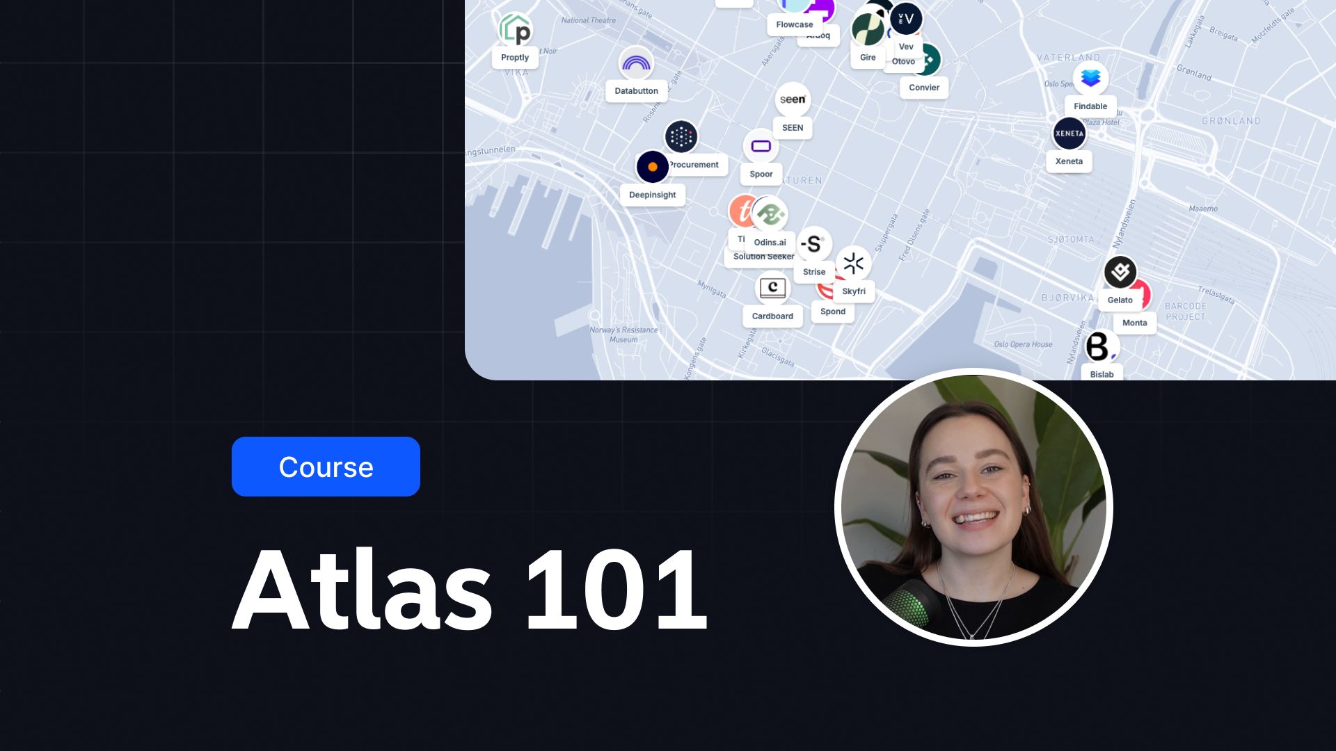
Atlas
Academy
Learn the essentials and master Atlas in a few core video lessons
A Learning Center for GIS
We believe GIS should be accessible. That's why we made these super simple courses. Choose a course and get all the info you're looking for to make a map!

Ready for some hands-on walkthroughs?
Check out our Atlas Blueprints with step-by-step walkthroughs to help you build powerful maps and visualizations.
Take your project to the next level with Guides
Find a step-by-step guide to help you get started or take your project to the next level.
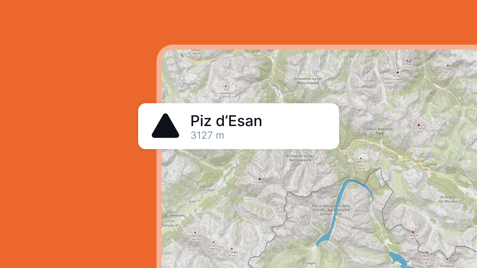
How to create contour lines
Learn how to create contour lines in Atlas to visualize elevation and other continuous data. This step-by-step guide walks you through uploading data, generating contours, customizing styles, and exploring applications in urban planning, environmental studies, and agriculture.
How to create heatmaps
Learn how to create heatmaps in Atlas to visualize data density and patterns. This step-by-step guide covers uploading data, customizing heatmaps, and practical applications in fields like urban planning, retail, and public safety.
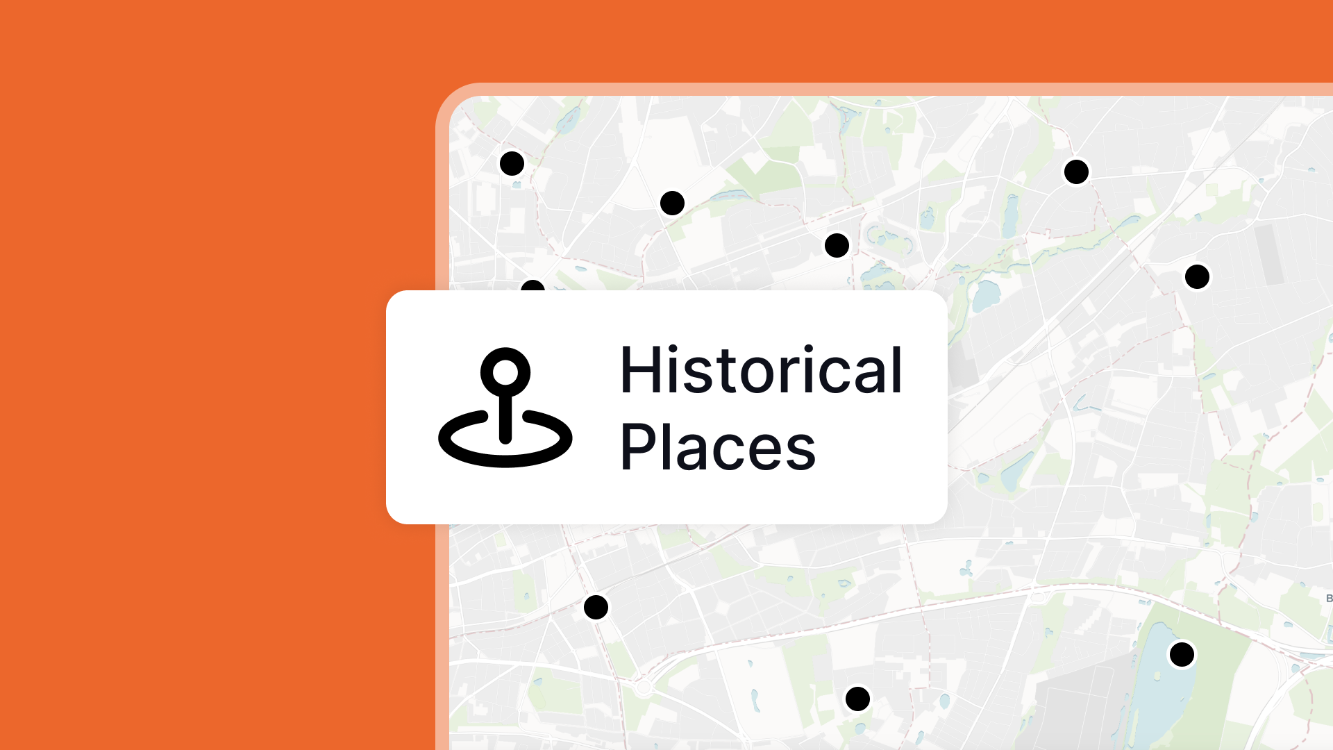
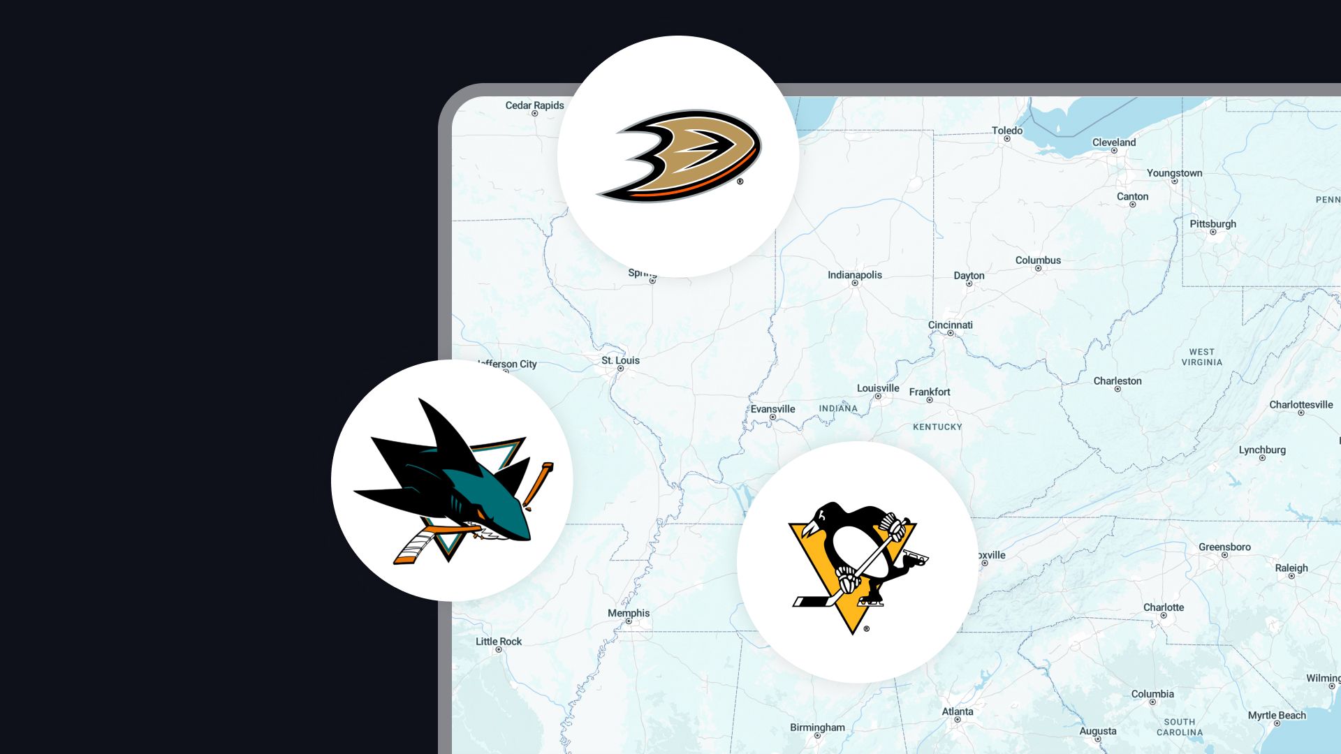
How to create thematic maps
Discover how to create thematic maps in Atlas, including choropleth, proportional symbol, and heatmaps. Learn to visualize patterns, add context, and refine your maps for impactful storytelling. Perfect for business, environmental, and urban planning projects.
How to create Voronoi diagrams
Learn how to create Voronoi diagrams in Atlas to visualize proximity and define regions around points. This step-by-step guide covers uploading data, generating diagrams, customizing styles, and practical applications in fields like urban planning, retail, and environmental studies.
How to create your first map
Creating a map in Atlas is easy, even if you’re a complete beginner. Atlas is designed to make mapping simple, interactive, and collaborative—perfect for users of all skill levels.
How to embed a map
Learn how to embed a map in Atlas. Make your map public, generate an embed link or iframe code, and integrate it into your website, blog, or dashboard. Perfect for real estate, news, and city planning.