


How it works
The platform is designed to help you visualize, automate, and build geospatial data workflows.
Import any data


20+ supported file formats
Import your data in any format. We support CSV, GeoJSON, KML, and Shapefile.
Query open data
Use open sources, like OpenStreetMap and Overture, to enrich your datasets. Query data of points of interest, roads, and buildings.
Connect to servers
Connect to WMS, WMTS, and XYZ servers to access remote datasets
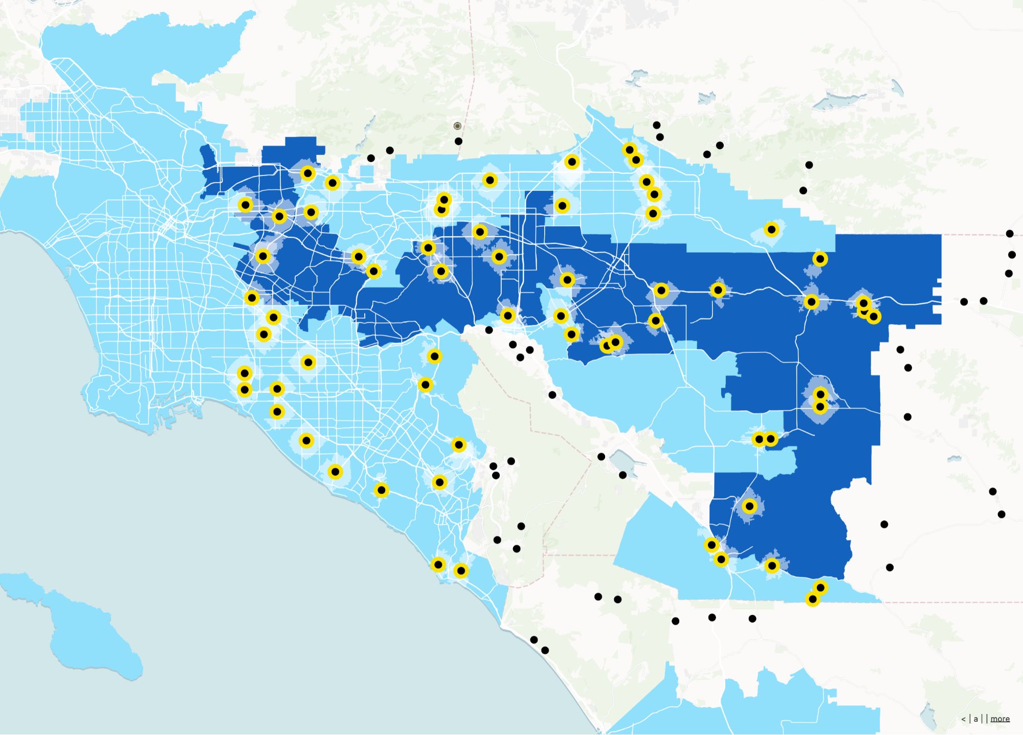
Spatial Analysis
GIS analysis used to be for experts only. With Atlas, anyone can perform advanced analyses without prior knowledge.
...and over 50 other analyses
Atlas offers various tools to help you understand your location-based data. Whether you're a beginner or an expert, you can perform advanced analyses easily.
All you need to get started with Atlas
Documentation
Atlas Academy
Atlas Blueprints
FAQ
Atlas is a browser-based GIS platform that helps you visualize and analyze location data with ease. Whether you’re mapping customer locations, optimizing territories, or spotting trends, Atlas makes it simple and fast.
To get started with Atlas, you need to sign up for an account. Once you’re signed up, you can start creating projects, importing data, and collaborating with your team.
Atlas is used by companies of all sizes, from small startups to large enterprises. From global enterprises to startups, sales teams, marketing agencies, and operations teams, Atlas works wherever location data drives decisions.
Our customers span a wide range of industries, including retail, real estate, energy, and more.
Atlas is designed for anyone who works with location data. This includes sales teams, marketing teams, operations teams, and more. Atlas is a great tool for anyone who needs to visualize and analyze location data.
Atlas is a versatile tool that can be used for a wide range of use cases. Some common use cases include sales territory mapping, market analysis, customer mapping, and more.
In Atlas, workspaces are a designated space for projects, files, basemaps, and color palettes shared across a group of people. Members can create as many workspaces as they need. They can join multiple workspaces, making it possible to work cross-functionally and share resources.
Atlas doesn't offer product support via phone or live chat. The support team is available Monday through Friday, with the exception of any observed company holidays. The best way to contact support is to contact help@atlas.co.
Every Atlas project is private by default and can be shared publicly. Public links are a great way to share resources with people outside your organization, or with colleagues who don't have an Atlas account. People often share maps publicly to get feedback and engage stakeholders and the community.
No. Atlas offers unlimited free commenters and viewers to public maps for all plans.