
Geographic Information Systems (GIS) are powerful tools that allow users to visualize, analyze, and interpret data to understand relationships, patterns, and trends in relation to locations and geography.
What is GIS?
At its core, GIS is about mapping data: it links locations (where things are) with information (what things are like there). Unlike a simple map, however, GIS can show many kinds of data on one map. This enables people to more easily see, analyze, and understand patterns and relationships.
How GIS Works
GIS operates on the principle that most data have a spatial component that can be geographically visualized. Here are the basic steps:
- Data Collection: This is the gathering of information based on the geographic point. Data can come from GPS technology, surveys, mapping tools, and other sources.
- Data Display: GIS can display this data in a variety of ways using maps, graphs, and charts. Users can choose how each dataset is represented to best understand the data.
- Data Analysis: Through tools and techniques, GIS can analyze spatial data to find relationships and trends. This might involve looking at how regions relate to each other or predicting where certain events might happen.
Applications of GIS
GIS offer diverse applications across many fields, enhancing the ability to analyze spatial and geographic data. This technology is crucial in a multitude of sectors, providing insights and facilitating better decision-making based on geographical information.
-
Environmental Management: GIS is extensively used in environmental management for mapping natural resources, monitoring environmental changes, and assessing the impact of human activities on ecosystems. Environmental scientists use GIS to study climate change, manage natural resources, and plan the conservation of habitats.
-
Urban and Regional Planning: Planners utilize GIS to design and evaluate the impact of proposed developments. It helps in zoning, land use planning, and infrastructure development, ensuring efficient use of space and resources in urban areas.
-
Transportation: In the transportation sector, GIS helps in route planning, traffic modeling, and the management of logistical challenges. Transportation agencies use GIS to analyze traffic patterns, plan road networks, and optimize routes for public transport systems to enhance efficiency and reduce costs.
-
Public Health: Public health professionals use GIS to track disease outbreaks, manage healthcare delivery, evaluate public health policies, and understand the geographic factors that influence health outcomes. GIS aids in visualizing the spread of diseases and identifying potential zones of risk.
-
Agriculture: Farmers and agricultural researchers use GIS to manage crops and monitor soil conditions. It helps in precision farming, pest management, and yield prediction by analyzing data on soil types, crop history, and weather patterns.
-
Disaster Management and Response: GIS plays a critical role in disaster management by mapping disaster-prone areas and planning evacuation routes. It is used for risk assessment, resource management, and coordinating response in the aftermath of disasters.
-
Business and Marketing: Companies use GIS for market analysis, site selection, and customer segmentation. It helps businesses in determining the best locations for new stores, targeting marketing campaigns, and analyzing demographic data to better understand customer preferences.
-
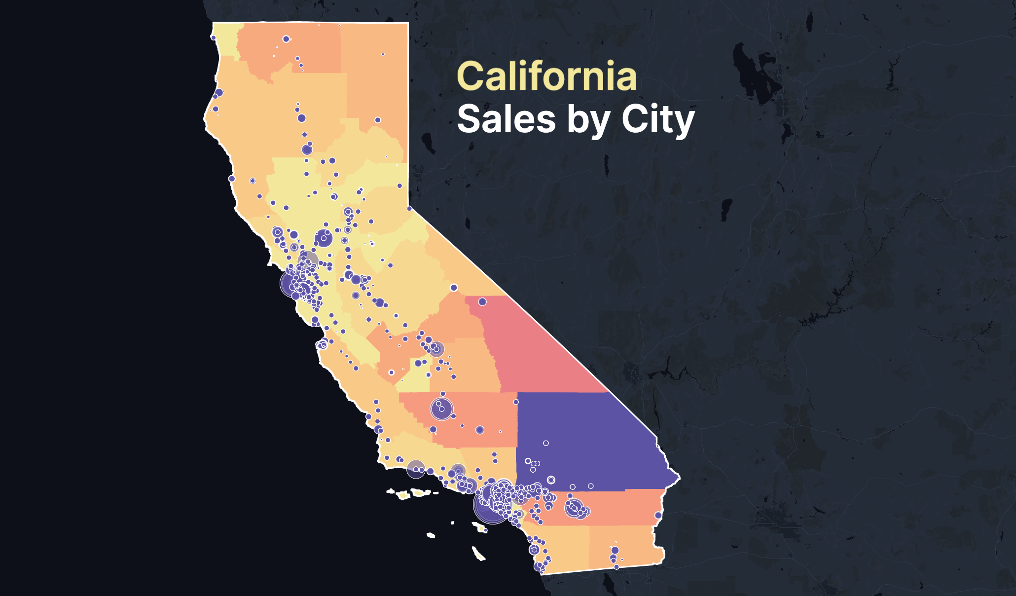
Real Estate: Real estate agents and developers use GIS to assess property values and understand market trends based on geographic factors. GIS can highlight properties based on criteria such as proximity to amenities, neighborhood statistics, and historical property prices.
-
Utility Management: Utilities employ GIS for asset management, monitoring systems, planning maintenance, and outage management. For example, electric utilities use GIS to manage grid networks, while water utilities use it to track water supply routes and plan for emergencies.
-
Forestry and Wildlife Conservation: GIS helps in mapping forest cover, tracking wildlife movements, and planning conservation efforts. It is used to study habitat usage, predict wildlife population trends, and manage protected areas.
GIS for Beginners
If you're new to GIS, you might start with user-friendly tools like Atlas, a software that provides data viewing, editing, and analysis capabilities directly in the browser. Many resources are available on our docs to help beginners learn how to use GIS effectively.
For GIS users, the key is to focus on understanding the basic capabilities of GIS tools and how they can be applied to the projects or areas of interest you care about. With practice, you'll be able to leverage the power of geographic data to make more informed decisions.


