At the heart of Geographic Information Systems (GIS) lies the fundamental importance of data. Data serves as the building blocks upon which comprehensive maps and impactful visualizations are constructed.
In this guide, we will explore the extensive array of supported data formats and provide a comprehensive overview of how to effectively upload and manage geospatial data using Atlas.
Supported formats
Atlas accommodates a wide range of file formats, with support for files up to 250 MB in size. You have the option to upload files in their original format or choose to compress them into .zip files.
Atlas reads most common geospatial data formats, including:
- GeoJSON (
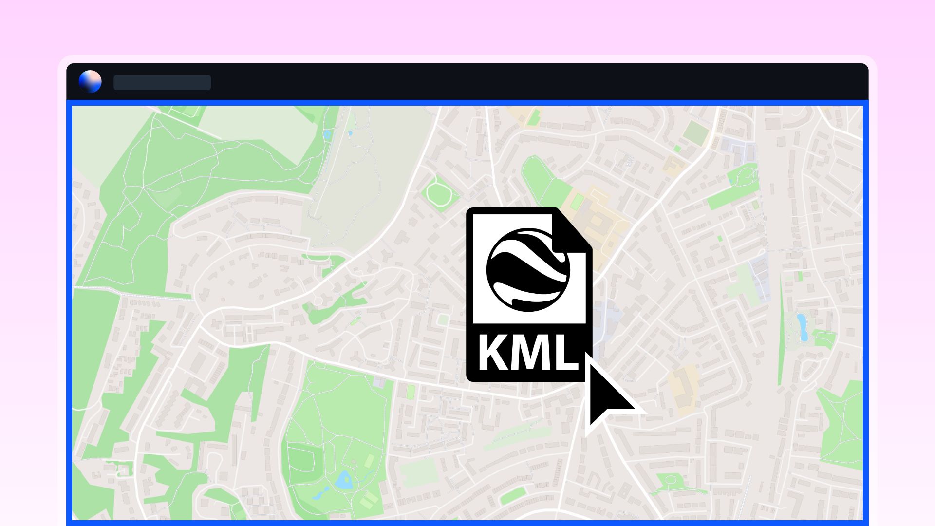
.geojson) - KML (
.kml) and KMZ (.kmz) - Geopackage (
.gpkg) - ESRI Shapefile (
.shp) - Geodatabase (folder ending in
.gdb, must be zipped) - Spreadsheets (
.csv) - Images (
.png,.jpg,.gif)
Upload data
You can seamlessly and conveniently upload your data by initiating the process with a simple click on the Add Data button right within the application. This user-friendly interface offers multiple pathways to swiftly import your valuable information.
Whether you prefer to drag and drop files for a quick and intuitive upload, copy and paste data directly into the designated area, or navigate through your file system by clicking to browse and select the file of interest, Atlas simplifies the data upload process to streamline your GIS endeavors.


